Monday, 17 June 2013

Mother Cap for the first time ...

 We walked away from the National Trust car park at Longshaw towards Fox House, a delightful pub just inside the Sheffield boundary ...

Longshaw, Carl Wark, Mother Cap ... and all points between !

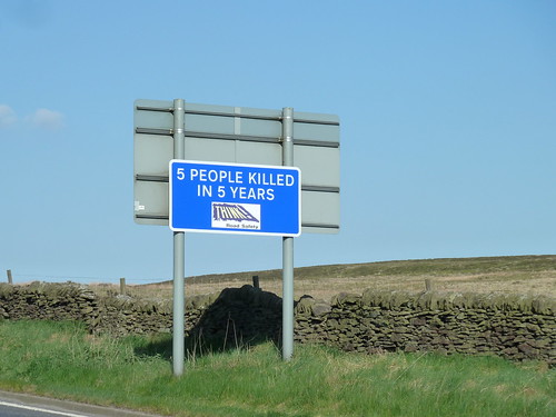
We were greeted almost immediately with a rather ominous sign ...

Longshaw, Carl Wark, Mother Cap ... and all points between !  

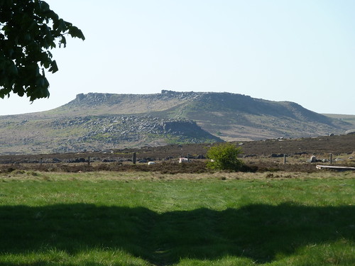
From Houndkirk Road you get a great view of Carl Wark, with Higger Tor rather dwarfing it behind ...
Longshaw, Carl Wark, Mother Cap ... and all points between !

 Houndkirk Road is an ancient road [I don't know how ancient] and heads northward towards the western side of Sheffield ...
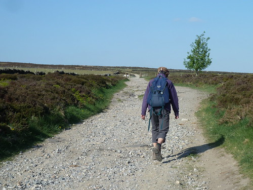
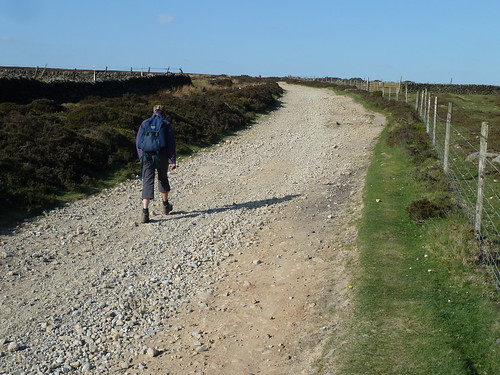
Longshaw, Carl Wark, Mother Cap ... and all points between !

Longshaw, Carl Wark, Mother Cap ... and all points between !

A mile or so along it it we could see some of the buildings of the city beyond Houndkirk Hill ...
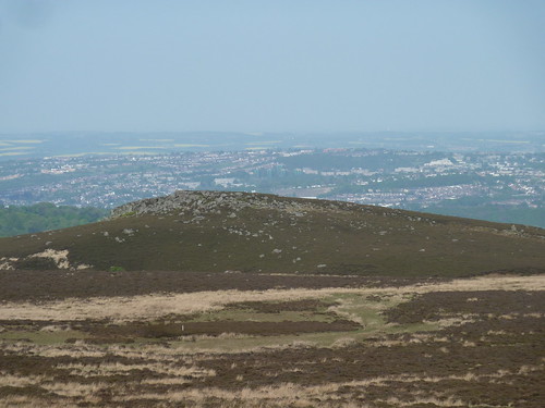
Longshaw, Carl Wark, Mother Cap ... and all points between !

 There was still plenty of moorland between us and Sheffield though ...
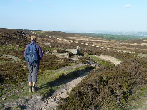
Longshaw, Carl Wark, Mother Cap ... and all points between !

 It was at this point that we left the old road and turned westwards to eventually cross Burbage Brook ...
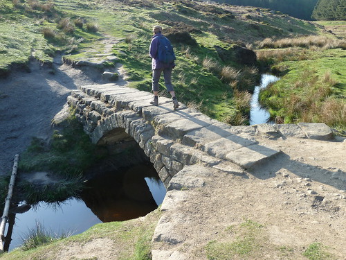
Longshaw, Carl Wark, Mother Cap ... and all points between !

 The path we were following took us between Higger Tor and Carl Wark. In the photograph below Higger Tor rises above us as we cross the sometimes boggy ground ...
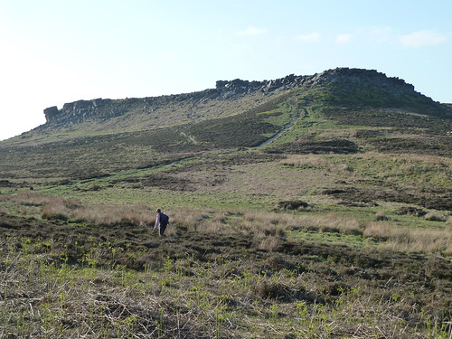
Longshaw, Carl Wark, Mother Cap ... and all points between !

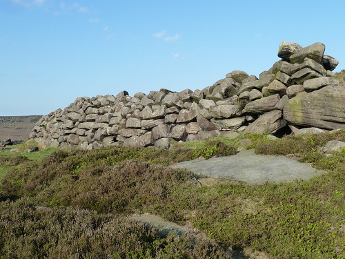
 Carl Wark is an Iron Age hillfort dating back four to four and a half thousand years. Here's part of the man-made stone wall that forms part of its defences ...

Longshaw, Carl Wark, Mother Cap ... and all points between !

The wall must be between eight and ten feet high.

The hills to the west stretched away into the distance ...
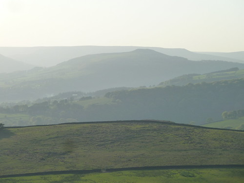
Longshaw, Carl Wark, Mother Cap ... and all points between !

 We turned south, past the remains of a millstone ...
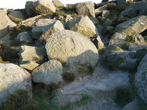
Longshaw, Carl Wark, Mother Cap ... and all points between !

 There are some unusual gritstone landmarks up here, besides the man-made ones ...
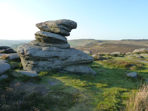
Longshaw, Carl Wark, Mother Cap ... and all points between !

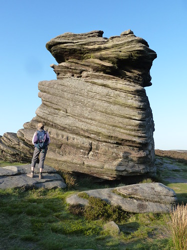
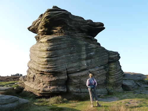
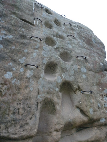
  Then we reached Mother Cap which merits a few photographs ...
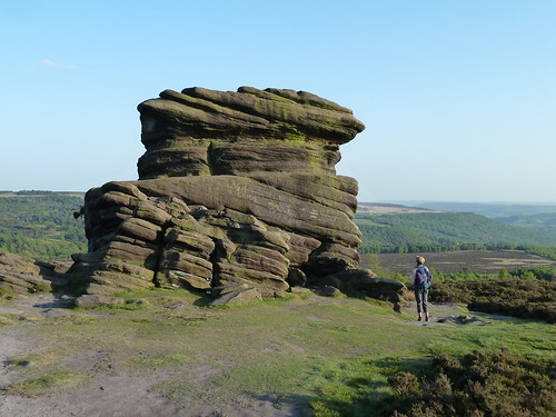
Longshaw, Carl Wark, Mother Cap ... and all points between !

Longshaw, Carl Wark, Mother Cap ... and all points between !

Longshaw, Carl Wark, Mother Cap ... and all points between !

 A few paces beyond there's the head of a creature in stone ... with a smile and two eyes [or are they nostrils]. It looks like the head of a tortoise to me ...
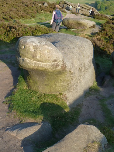
Longshaw, Carl Wark, Mother Cap ... and all points between !

  Then on the floor, with the sun's ray coming in at a low angle I noticed this stone. Whether the markings have any significance ... whether they're ancient or modern I don't know. 
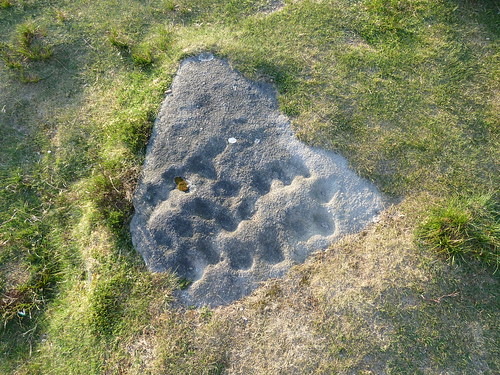
Longshaw, Carl Wark, Mother Cap ... and all points between !

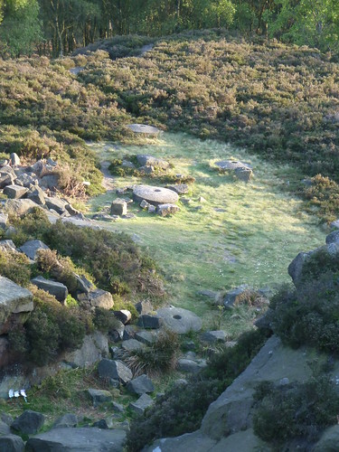
  What we could age more easily were the two or three millstones lying near a disused quarry below where I stood. I was reading some blurb at Caudwell's Mill just a day or so ago and it said that when metal grinders/rollers became readily available in watermills the need for millstones ceased almost overnight. This is rather supported by the fact that there are so many millstones lying around in this part of the Peak District ... still awaiting removal or collection ...
Longshaw, Carl Wark, Mother Cap ... and all points between !

 We passed through silver birches ...

Longshaw, Carl Wark, Mother Cap ... and all points between !

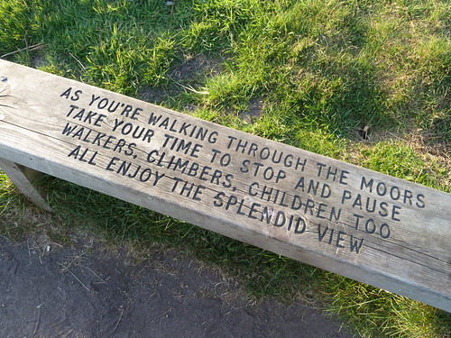
 ... and I found another of the Peak Park 'poetry benches' ...
Longshaw, Carl Wark, Mother Cap ... and all points between !

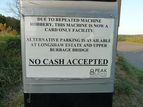
 The nearby car park only dealt in credit cards ...
Longshaw, Carl Wark, Mother Cap ... and all points between !

 Surely there's something to be said for a Ranger with a high powered rifle being positioned nearby ?  OK ... I jest ...

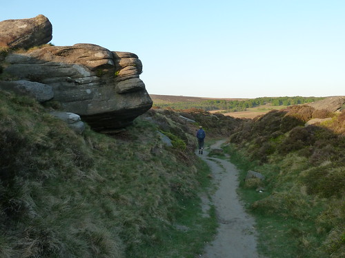
On the far side of the A6187 we followed the ancient sunken lane which runs back towards Fox House and the Longshaw Estate ...
Longshaw, Carl Wark, Mother Cap ... and all points between !

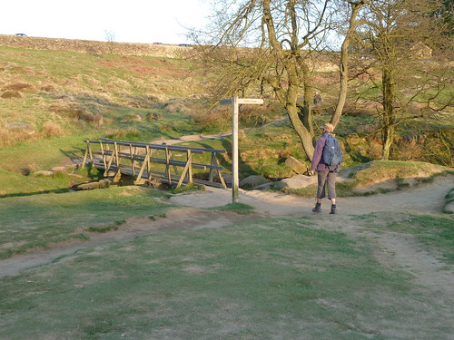
 We crossed Burbage Brook again but this time by a much more modern bridge ...
Longshaw, Carl Wark, Mother Cap ... and all points between !

 On the National Trust's Longshaw Estate further work has been undertaken clearing rhododendrons ... work that the Derbyshire Dales Group of the Ramblers were involved in 15 years or more ago ...

Longshaw, Carl Wark, Mother Cap ... and all points between !

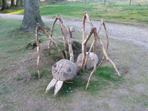
 I think this ant forms part of a Trail of some sort ...
Longshaw, Carl Wark, Mother Cap ... and all points between !

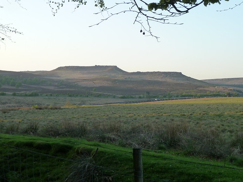
 I never tire of taking photographs of Carl Wark with Higger Tor behind [as you may have noticed over the years] ...
Longshaw, Carl Wark, Mother Cap ... and all points between !

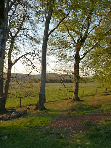
 The sun was setting quite quickly as we neared the car ...
Longshaw, Carl Wark, Mother Cap ... and all points between !  

This walk was followed on the 27th April 2011
 
Length of stroll ~ 5.02 miles [very approximately] *
 
Total mileage walked so far in 2011 ~ 147.09 miles
 
Total mileage between the 1st September 2009 and the 27th April 2011 ~ 675.14 miles

  33 of 2011 [which means in 2011 I was averaging just over 4.45 miles a walk.]
 
* distance calculated on Ordnance Survey's Getamap

Saturday, 15 June 2013

A stroll around Stanton Moor and it was cool and grey ...

This stroll involved a largely uneventful walk around one of my favourite [nearby] places, Stanton Moor.

We entered the access land via one of the stockproof kissing gates ...

A stroll on Stanton Moor ...

After passing the Cork Stone we took one of the less well used routes across the moor ...

A stroll on Stanton Moor ...

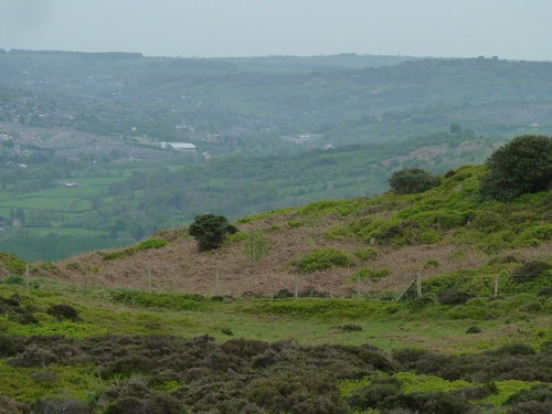
 From up here it is quite easy to see what impact the new Arc Leisure Centre has had on Matlock ... it's certainly the most prominent white building ...

A stroll on Stanton Moor ...

 You can just see Riber Castle's turrets sticking up above the horizon on the right hand side.

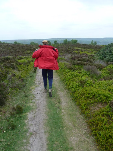
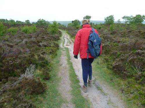
It was so cool on this particular April day that my Beloved kept her gloves on ...

A stroll on Stanton Moor ...  

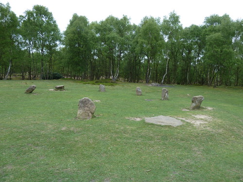
We turned back as soon as we got to the Nine Ladies stone circle though the photograph below only shows seven standing stones. I assume there are two out of picture to the left !

A stroll on Stanton Moor ...

 We made out way back along the main path across the moor ...

A stroll on Stanton Moor ...

  I love these silver birches which stand near the stone circle.

There are signs of ancient earthworks across the moor and I always wonder what has been explored and what remains unknown. This tumulus shows signs of exploration.

A stroll on Stanton Moor ...

 Inevitably we got back to the Cork Stone ...

A stroll on Stanton Moor ...

 I took one final photo of the Cork Stone before leaving the moor. I'm just under six feet tall so looking up gives you an idea of its height ...

A stroll on Stanton Moor ...

This walk was followed on the 26th April 2011
 
Length of stroll ~ 1.78 miles *
 
Total mileage walked so far in 2011 ~ 142.07 miles
 
Total mileage between the 1st September 2009 and the 26th April 2011 ~ 670.12 miles

  32 of 2011 [which means in 2011 I was averaging just under 4.44 miles a walk.]
 
* distance calculated on Ordnance Survey's Getamap
 

Thursday, 13 June 2013

A Farm Journal ~ from the 1st to the 15th March 1869 ...

My great great great uncle John Bayliff Bowman lived at Summer Hill, near Monyash in the County of Derby. 

The Bowman family, who were Quakers, had three farms, One Ash Grange [which John Bayliff Bowman often referred to as O.A.], Cales and Summer Hill [which he usually referred to as S.Hill or S.H.]

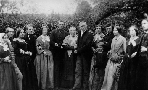
John Bayliff Bowman is fourth from the left in the photo below ...
 
The Bowman family

 A Farm Journal continues :~
 
2 - 1st 3 Mo[nth] Very cold snow on gr[oun]d filling up a grove hole in Angle B[akewe]ll market calved cow [18.10/-] from Furniss Birchill & calf from here  to them 25/- bo[ugh]t 7 pigs Robinson 35/- very dear Self at Savings Bank
 
3 - 2 Very coarse day most snow gone to Birchill for 5qr Freez [sic] land oats 35/-
 
4 - 3 Fine very sharp frost M[onthly] M[eeting] at Bakewell Self to Ashford & walked on & back stayed dinner & tea - bro[ther] Eben[eze]r admitted into Membership again* - 4 ton cake from Hull
 
5 - 4 to 5 - 11 Frosty with little snow - met Travis at B[akewe]ll & agreed to send milk twice a day till 1st of 5th mo[nth] at 2/- p[e]r doz[en] pure
 
to 2 day 15 Fine but frosty lead[in]g soil onto poor places in Over Intake plough[in]g Watricle etc at B[akewe]ll Union about Vagrancy
 
 
* I assume by admitting my great great grandfather Ebenezer "into Membership again" John Bayliff Bowman is referring to the Society of Friends. Whether Ebenezer left by choice or whether he was forced out, I don't know.

Wednesday, 12 June 2013

A Rowsley Round ...

A round [the way I use it here] means a circular walk. Most walks tend to be circular because you park your car and then you do a round trip to get back to the car ... 

I'm going to tell you about a walk from Rowsley, just along the road from Darley Dale.

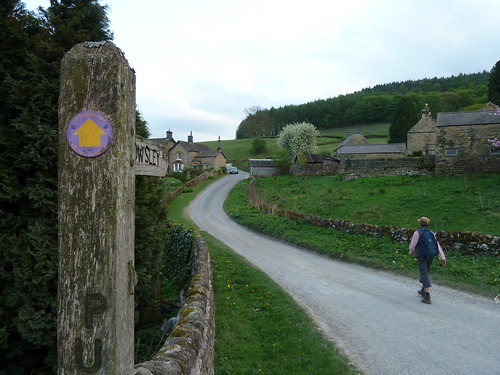
We parked in Rowsley, near [but not] in the Caudwell's Mill car park and walked through the Peak Village complex. Just beyond this a [sometimes overgrown] path leads towards the allotments ... 

Rowsley~Beeley~Calton Lees~Rowsley

The guy who used to keep this path cleared hasn't been up to working on these paths for the best part of three years now ...

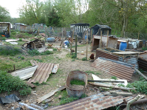
I mentioned the allotments. Well they're more chicken pens and it has to be said this is not the most scenic part of the walk.

Rowsley~Beeley~Calton Lees~Rowsley

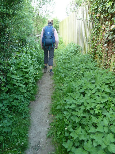
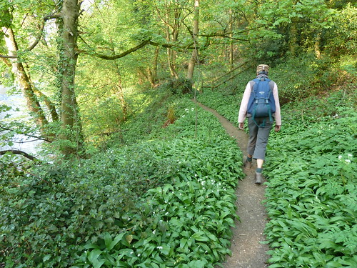
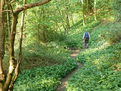
 The path soon improves though as you pick your way through the wild garlic which proliferate in Springtime ...

Rowsley~Beeley~Calton Lees~Rowsley  

Once you reach a road, turn left towards Beeley. Hopefully you won't have to step onto the road because there are cars parked on the pavement ...

Rowsley~Beeley~Calton Lees~Rowsley

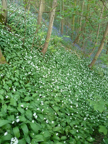
A little further along there's a path that clambers up the hillside above the delightfully named Smeltingmill Brook. More wild garlic ... but also some bluebells ...

Rowsley~Beeley~Calton Lees~Rowsley

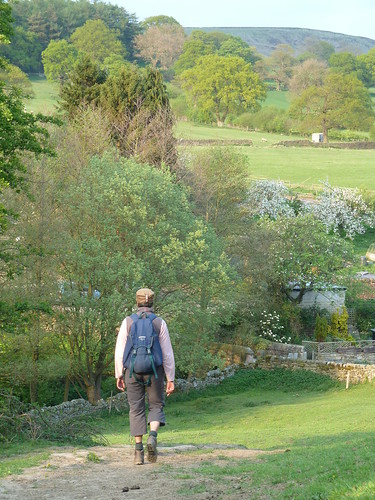
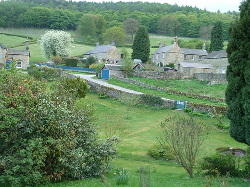
After passing through a number of smallish fields on the hillside we reached the outskirts of Beeley village ...

Rowsley~Beeley~Calton Lees~Rowsley

Rowsley~Beeley~Calton Lees~Rowsley

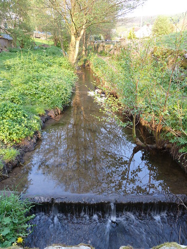
  We crossed Beeley Brook which runs downhill from Hell Bank Plantation ...

Rowsley~Beeley~Calton Lees~Rowsley

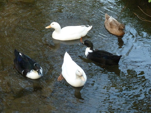
  Often where there's a brook ... there's a duck ...

Rowsley~Beeley~Calton Lees~Rowsley

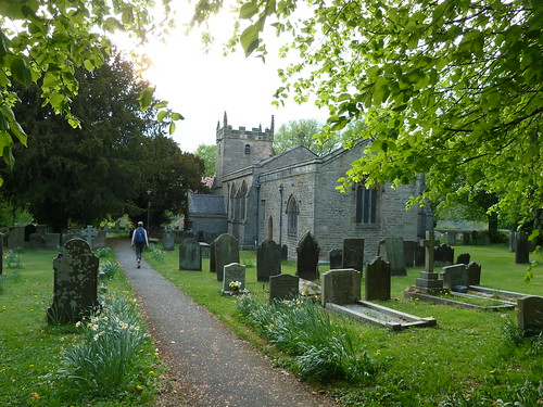
 We walked up to St. Anne's Church, parts of which date back to the 12th century though it seems to be largely Victorian ...

Rowsley~Beeley~Calton Lees~Rowsley

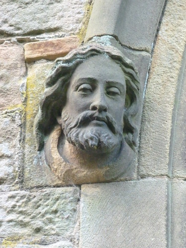
 There's a rather fine sculpture of a head at the doorway ...

Rowsley~Beeley~Calton Lees~Rowsley

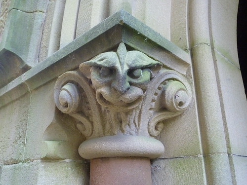
 Nearby, a rather sinister grotesque ...

Rowsley~Beeley~Calton Lees~Rowsley

 Do you know the difference between grotesques and gargoyles ? Well a gargoyle always carries water ... gargoyle coming from the French word gargouille, meaning throat or gullet. 

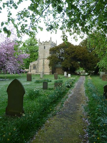
  The churchyard was pink in part, covered in flower petals ...

Rowsley~Beeley~Calton Lees~Rowsley

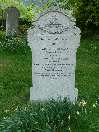
 For some reason the light coloured gravestone at the top of the photo above caught my eye ...

Rowsley~Beeley~Calton Lees~Rowsley

 Harry Bertram appears to have died nineteen days after the armistice was signed.

We left St. Anne's churchyard ...

Rowsley~Beeley~Calton Lees~Rowsley

 We walked half a mile across the large field that lies between the Beeley/Chatsworth road and the River Derwent before rising up a small slope to reach the Chatsworth estate village of Calton Lees ...

Rowsley~Beeley~Calton Lees~Rowsley

 You can always tell a Chatsworth property in this area by the blue doors and gates.

The Derwent Valley Heritage Way runs through Calton Lees so we decided to follow it back towards Rowsley ...

Rowsley~Beeley~Calton Lees~Rowsley  

Rowsley~Beeley~Calton Lees~Rowsley

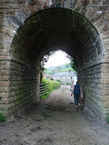
 We passed under the redundant railway bridge on the edge of Rowsley and were back at the start ...

Rowsley~Beeley~Calton Lees~Rowsley


This walk was followed on the 25th April 2011
 
Length of walk ~ 4.38 miles *
 
Total mileage walked so far in 2011 ~ 140.29 miles
 
Total mileage between the 1st September 2009 and the 25th April 2011 ~ 668.34 miles

  31 of 2011 [which means in 2011 I was still averaging just over 4.5 miles a walk.]
 
* distance calculated on Ordnance Survey's Getamap


Monday, 10 June 2013

A Farm Journal ~ from the 16th to the 28th February 1869 ...

My great great great uncle John Bayliff Bowman lived at Summer Hill, near Monyash in the County of Derby. 

The Bowman family, who were Quakers, had three farms, One Ash Grange [which John Bayliff Bowman often referred to as O.A.], Cales and Summer Hill [which he usually referred to as S.Hill or S.H.]

John Bayliff Bowman is fourth from the left in the photo below ...
 
The Bowman family

 A Farm Journal continues :~
 
3 - 16 Fine A.Cox & Wm & I ferret[tin]g here to dine
 
4 - 17 Wet lead[in]g manure
 
5 - 18 Thunder rain showery - fin[ished] lead[in]g man[ure] S.H.
 
6 - 19 Fine day Truck of Grains in spread[in]g man[ur]e etc
 
7 - 20 Fine
 
1 - 21 Frosty
 
2 - 22 Beautiful day 
 
 3 - 23 Ditto stack in & chopped at Cales last stack
 
4 - 24 Wet aft[ernoo]n plough[in]g Watricle etc - stop[pe]d sending milk
 
5 - 25 Stormy began to make 2 cheeses p[e]r day 18 cows E.B.* sends his milk still
 
6 - 26 Very fine but cold & windy Co[u]s[in] Eliza SA & I & all went to Ashford to dine & tea**
 
7 - 27 Very stormy snow & hail at times - plough[in]g etc
 
1 - 28 Very stormy indeed Snow 6 in[ches] deep & drifted
 
 
* I assume 'E.B. refers to JBB's brother Ebenezer Bowman.
 
** It is likely that this meant a visit to my great great great grandparents Heny and Mary Bowman [the elderly couple in the photograph above] who lived at The Elms, Ashford in the Water.
  

Thursday, 6 June 2013

Ticking away ... Day 950 ~ a second spell in hospital ...

On the evening of Tuesday, the 28th of May, I was sat in the Old Poets Corner in Ashover enjoying a pint of beer with Jamie.

I went to bed feeling fine but woke up at 1.30am hot and delirious. Within a couple of hours I was in A & E at Chesterfield Royal Hospital where I spent the next few hours. I experienced the joys of a catheter for the first time ... and also an oxygen mask. My fat right leg ~ the one with lymphoedema ~ was red from ankle to groin. I was very ill apparently. I was also unaware of what was going on for much of the time as I was delirious.

I then spent a day or so in EMU where they monitored my steady improvement before being moved to a ward for the less critically ill ... and here I recovered over the next four or five days.

It was from this ward that I went to see my oncologist yesterday in the same hospital ... with Jamie 'holding my hand'. Things are ok on one level but there is a lump in the left side of my groin which merits further investigation and a CT Scan is being arranged. It seems the cancer is making 'progress' steadily though some radiotherapy may be possible.

When we got back to the ward though there was some good news ~ I was being discharged ! We went and sat in the discharge lounge for a couple of hours and enjoyed the fun and games there ... as well as a picnic lunch.

Not quite such a perky report as normal (I'm feeling tired and a bit shell shocked) but I'm out of hospital and that is always a good thing.

My diagnosis ? Same as before ~ cellulitis and severe sepsis. If you'd have seen my leg, swollen and red ... I even thought of taking a photo ... but you'll have to make do with one of me just before we drove away.

Coming out of hospital ... again.

Note the look of defiance.