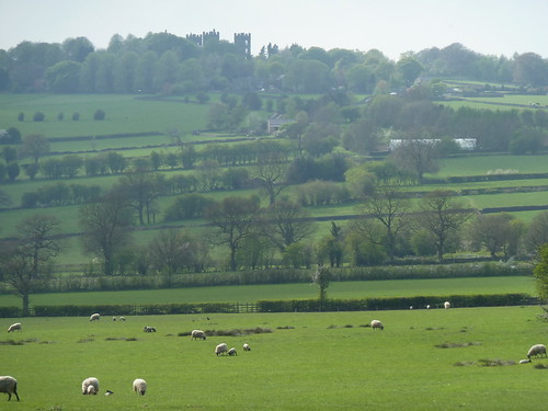
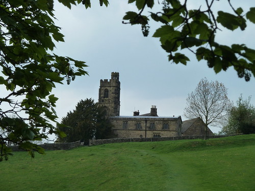
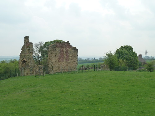
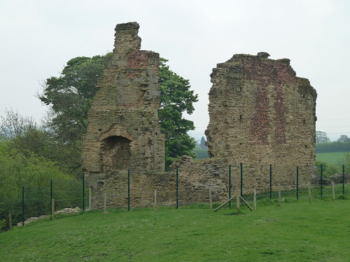
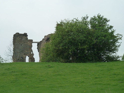
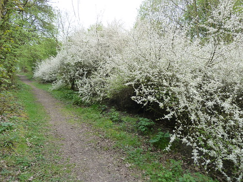
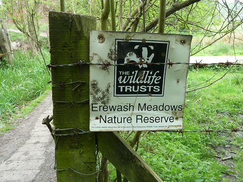
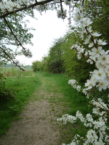
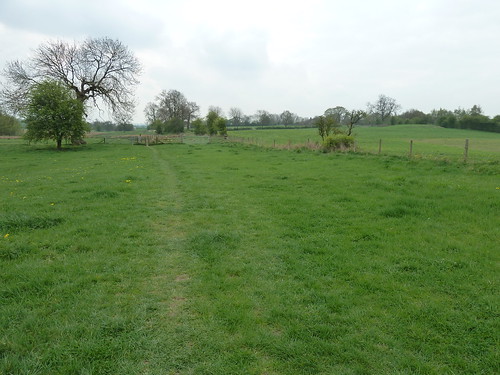
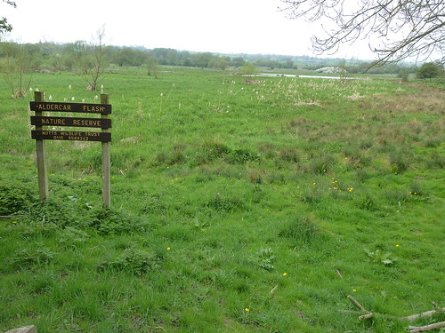
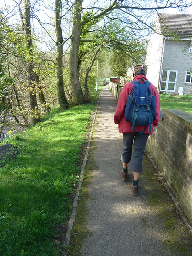
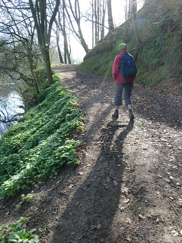
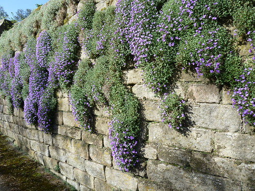
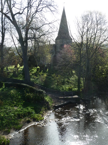
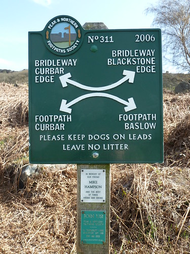
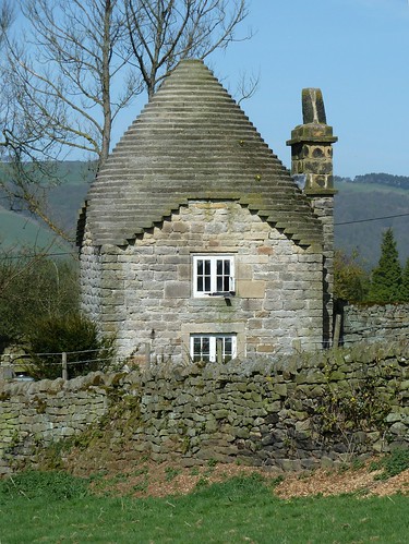
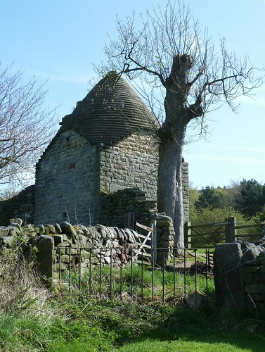
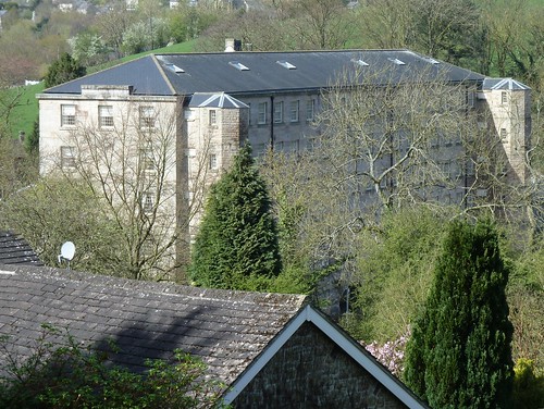
My great great great uncle John Bayliff Bowman lived at Summer Hill, near Monyash in the County of Derby.
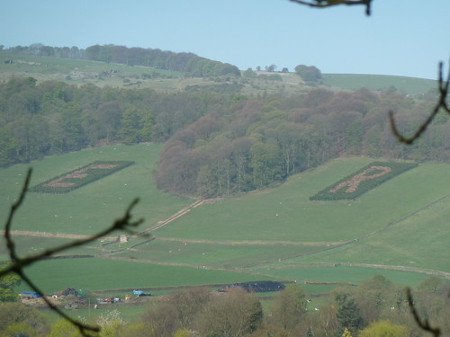
The Bowman family, who were Quakers, had three farms, One Ash Grange [which John Bayliff Bowman often referred to as O.A.], Cales and Summer Hill [which he usually referred to as S.Hill or S.H.]
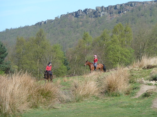
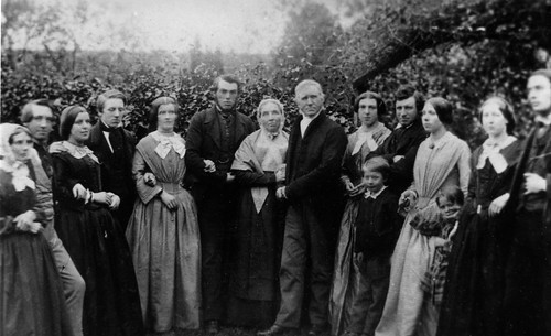
John Bayliff Bowman is fourth from the left in the photo below ...
The Bowman family, who were Quakers, had three farms, One Ash Grange [which John Bayliff Bowman often referred to as O.A.], Cales and Summer Hill [which he usually referred to as S.Hill or S.H.]
John Bayliff Bowman is fourth from the left in the photo below ...
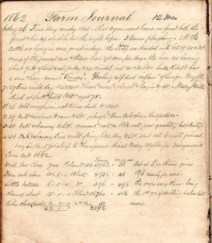
A Farm Journal continues :~
1 - 1st Fine
2 - 2 Windy & showery but no frost
4 - 4 Ditto Self & Wm & Eliz[abe]th to Matlock M[onthly] M[eetin]g & home again pleasant visit dined [word could not be deciphered] Worralls [or is it Morralls ?]
5 - 5 Very thundery day hail storms frequently ground white over
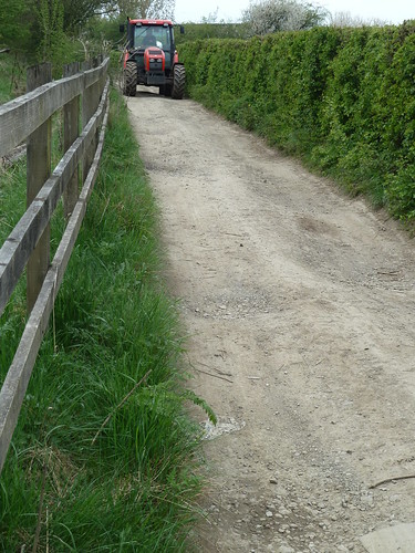
6 - 6 Very sharp frost & snow fine bright day put tups to ewes & thieves 201 & 15 lambs to tup foddered heifers in intake etc barren cows from Cales & incalves to Cales began to give cake etc & sent 3 doz[en ?] of milk to Manchester with Eben's lot
7 - 7 More snow very frosty bright day cake from P[arsley] Hay
1 - 8 Ditto
2 - 9 Milder B[akewe]ll market things low - took 20 sturks & 11 bullocks to Wm's at Middleton [6 of Wms sturks also] to Mansfield
3 - 10 Fine day milder & snow gone beasts started at midnight - self off by 9 o'clock train to Ambergate & then on to Alfreton - found beasts had gone on so took a gig & caught them a little on this side Sutton all right - got a glass of beer & then walked on with them - parted in Sutton - one lot for Millns of Lindhurst & 20 sturks to Warsop Sam[ue]l Davy's - all right - stayed all night & on to Lindhurst in morn[in]g to look beasts & then home
5 - 12 Fine & mild - spread[in]g lime - plough[in]g etc began to cut weeds - I have 1st prize for Swedes
Did the beasts walk all the way to Sutton [in Ashfield ?]. It rather sounds that way. Imagine a herd of cows being driven through the night. How many beasts were there ? Presumably 37 in view of the 9th November entry. How many men looked after them on the way ?
The next entry covers the 13th to the 20th November 1868.