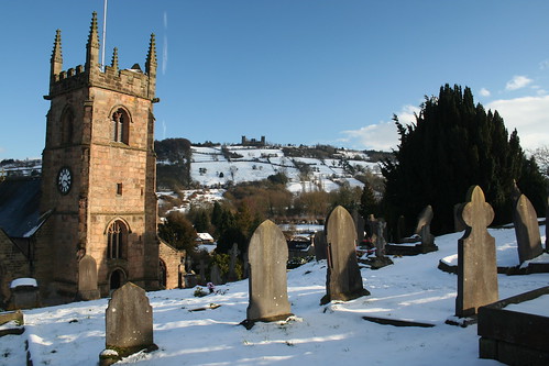
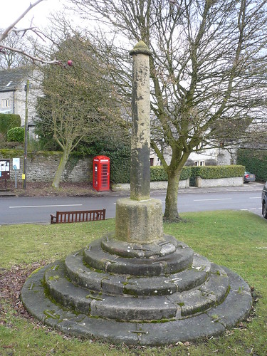
After all the snow we'd had it was good to get out and walk on the ground, rather than the snow upon the ground.
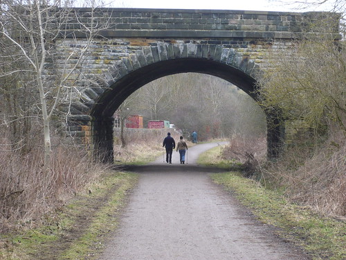
Parking at Rowsley, I walked up to the Rowsley Bar road (marked as Chesterfield Lane on the OS White Peak map) and took the bridleway leading into Rowsley Wood, just below Toll Bar Cottage ...

The bridleway leads further into the wood and forms part of the Derbyshire Gritstone Way which I walked, what, 20 or 25 years ago. At that time the bridleway was hard to follow with a lot of people taking the private driveway on the hillside above ... and getting into trouble as they walked into Fallinge (or Fallange depending on what map you're looking at).
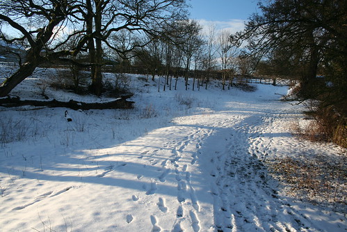
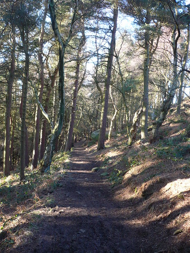
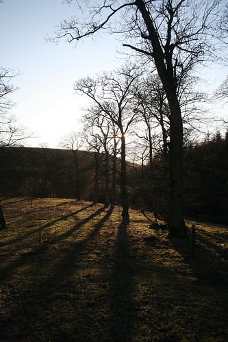
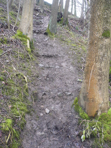
Now though the bridleway is very clear ...
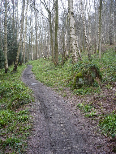
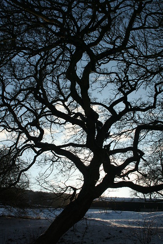
Even on the wettest of days it is delightful ...
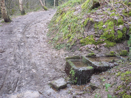
I don't know that I would fancy riding a bike along it ... and I certainly wouldn't want to ride a horse down here because of the long drop into Smeltingmill Brook below.
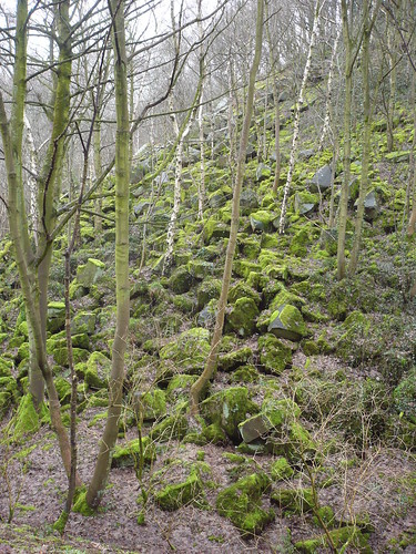
Across the other side of the brook is the spoil from Burntwood Quarry ...
Another hundred yards further on a bridleway bridge leads over the brook ...
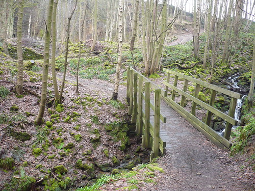
I can remember Derbyshire County Council telling me in or about the year 2000 that this bridge cost £13,000. When I used to show slides of it (when I did slideshows for the W.I. etc.) there were often gasps of horror from the audience ... spending that sort of money on something like this ! Haven't they got more important things to spend money on ?
Every time, this was the reaction.
Still, without the bridge, horses and cyclist in particular would find the crossing of the brook difficult ... though it has to be said there never used to be a bridge over the brook here ...

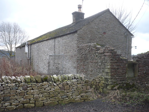
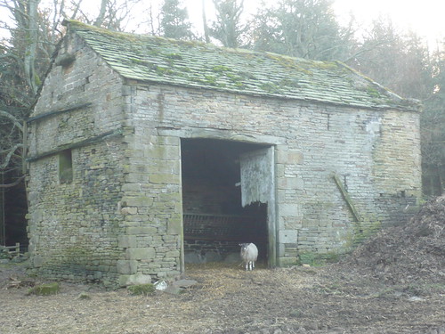
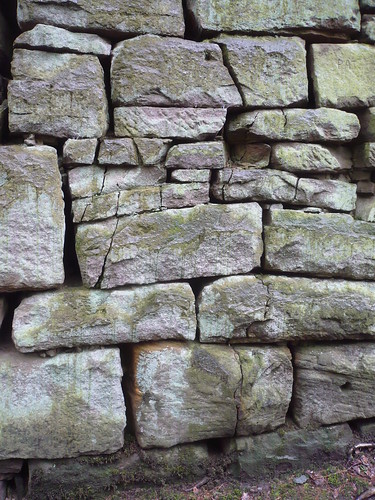
In Burntwood Quarry there are the remains of an old stone building slowly falling apart ...
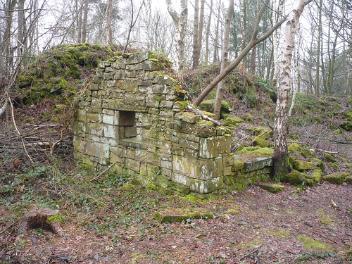
I would love to go back say a century (if that's far enough) and see what happened during a day in the quarry. Why did the quarry close ? Where did the quarrymen go once it had closed ? So many questions and so few answers ...
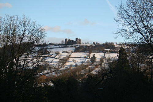
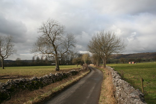
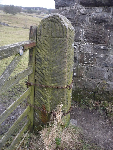
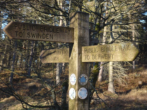
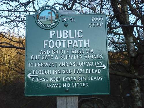
The bridleway continues up to Fallinge and then onto the lane leading from Beeley to the moor.
I followed the footpath that leads through the wood and through here ...
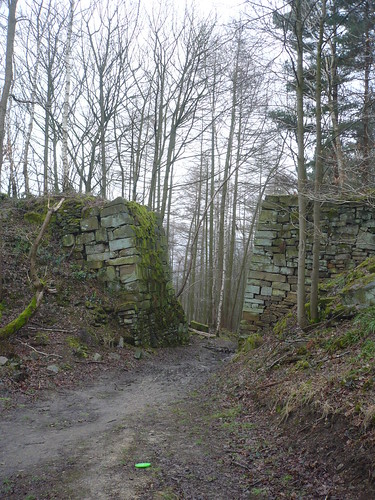
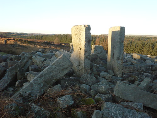
This is where I believe a small 'rail way' ran ... from the quarry on the right to the spoil heap (it's a big heap) pictured above and which is to the left ....
The stones at the bottom of these two stone supports are starting to crumble and I wonder how long it will be before they too become ruinous ...
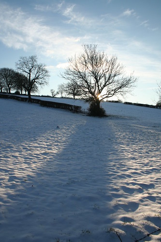
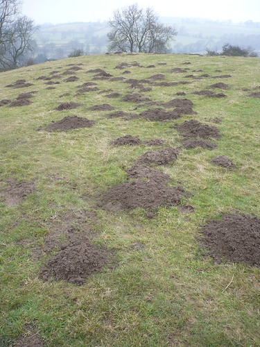
Out of the wood and following the path downhill towards Beeley I could see that the moles had been out and about ...
It was at the other side of this field that I met a couple of women on mountain bikes trying to lift them over a stile. I didn't point out that they shouldn't be riding bikes on a footpath.
They were spending the weekend at Darwin Forest and had come out for a ride without a map and wanted to know the quickest way back. I tried to describe how to get back without the use of a map ... I had one ... they didn't.
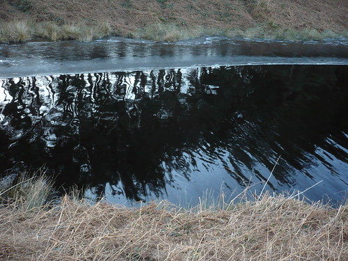
I turned left on the outskirts of Beeley and followed one of the footpaths to walk down beside Smeltingmill Brook to the Beeley/Rowsley road. There used to be some good steps on the steep slope down to the road.
There isn't at present ...
I'm only three miles or so from Smeltingmill Wood and I have probably been through here more than just about anywhere else.
Length of walk ~ 2 3/4 miles (it was more of a stroll than a walk)
Total walked so far in 2010 ~ 29 3/4 miles
Total walked since records began (1st September 2009) ~ 159 3/4 miles
7 of 2010
Now though the bridleway is very clear ...
Even on the wettest of days it is delightful ...
I don't know that I would fancy riding a bike along it ... and I certainly wouldn't want to ride a horse down here because of the long drop into Smeltingmill Brook below.
Across the other side of the brook is the spoil from Burntwood Quarry ...
Another hundred yards further on a bridleway bridge leads over the brook ...
I can remember Derbyshire County Council telling me in or about the year 2000 that this bridge cost £13,000. When I used to show slides of it (when I did slideshows for the W.I. etc.) there were often gasps of horror from the audience ... spending that sort of money on something like this ! Haven't they got more important things to spend money on ?
Every time, this was the reaction.
Still, without the bridge, horses and cyclist in particular would find the crossing of the brook difficult ... though it has to be said there never used to be a bridge over the brook here ...
In Burntwood Quarry there are the remains of an old stone building slowly falling apart ...
I would love to go back say a century (if that's far enough) and see what happened during a day in the quarry. Why did the quarry close ? Where did the quarrymen go once it had closed ? So many questions and so few answers ...
The bridleway continues up to Fallinge and then onto the lane leading from Beeley to the moor.
I followed the footpath that leads through the wood and through here ...
This is where I believe a small 'rail way' ran ... from the quarry on the right to the spoil heap (it's a big heap) pictured above and which is to the left ....
The stones at the bottom of these two stone supports are starting to crumble and I wonder how long it will be before they too become ruinous ...
Out of the wood and following the path downhill towards Beeley I could see that the moles had been out and about ...
It was at the other side of this field that I met a couple of women on mountain bikes trying to lift them over a stile. I didn't point out that they shouldn't be riding bikes on a footpath.
They were spending the weekend at Darwin Forest and had come out for a ride without a map and wanted to know the quickest way back. I tried to describe how to get back without the use of a map ... I had one ... they didn't.
I turned left on the outskirts of Beeley and followed one of the footpaths to walk down beside Smeltingmill Brook to the Beeley/Rowsley road. There used to be some good steps on the steep slope down to the road.
There isn't at present ...
I'm only three miles or so from Smeltingmill Wood and I have probably been through here more than just about anywhere else.
Length of walk ~ 2 3/4 miles (it was more of a stroll than a walk)
Total walked so far in 2010 ~ 29 3/4 miles
Total walked since records began (1st September 2009) ~ 159 3/4 miles
7 of 2010