
Late January. The sun shines but the air is cold and thin. I walk out of the back of the car park at Langsett and follow the path along the top of Langsett Bank.

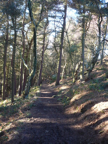
I trudge through a mile or so of trees before reaching a crossroads of bridleways ...
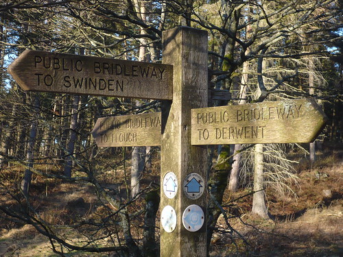
I took the bridleway for Swinden and soon reached it ... in the process disturbing the sheep as they tucked into some hay.

The sheep ignored me.
I followed the path through Crooklands Wood with the sun shining through the trees.
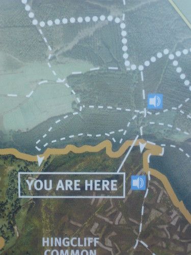
At the bridge at the tip of the reservoir I studied the interpretation panel ~ it indicated that if you switched on Bluetooth at certain points you would learn something about the spot you're standing at ... technology eh ?
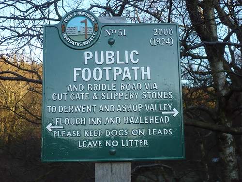
There's a Peak and Northern footpath signpost there too ...
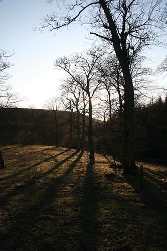
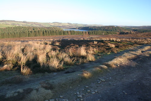
Then I walked south towards Hingcliff Common. I didn't get to the highest ground though as I turned east for North America. On my way the waters of Langsett Reservoir were visible.
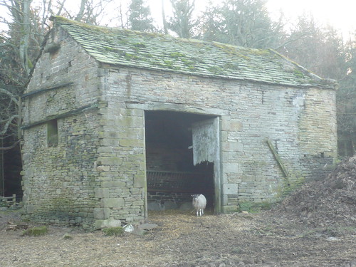
Then I reached North America ...
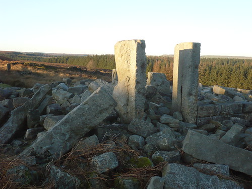
Yes, it had been a farm. I assume it was demolished when the reservoir was built.
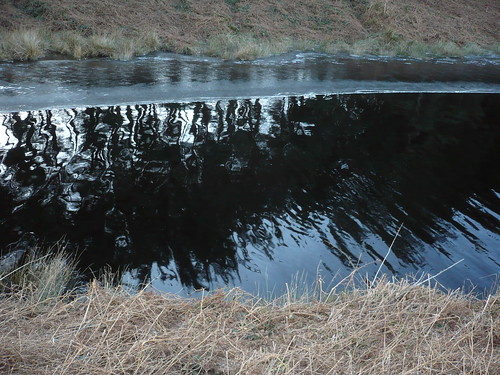
The waters of Langsett Reservoir looked really ominous ... black and forbidding.
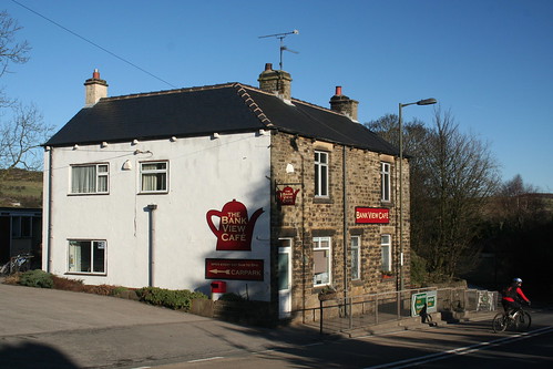
It was good to get to the Bank View Cafe on the northern side of the A616 in Langsett itself.
I'd not had a coffee stop on my walk for some reason and so I was hungry and thirsty. I ordered a cheese and onion toastie and a one pint mug of tea ! Would I be able to finish it ? You betcha !

... and they say the English can't cook, eh ?
Date of walk ~ 30th January 2010
Length of walk ~ 4 1/4 miles
Total walked so far in 2010 ~ 21 1/2 miles
Total walked since records began [er, 1st September 2009] ~ 151 1/2 miles
4 of 2010
I trudge through a mile or so of trees before reaching a crossroads of bridleways ...
I took the bridleway for Swinden and soon reached it ... in the process disturbing the sheep as they tucked into some hay.
The sheep ignored me.
I followed the path through Crooklands Wood with the sun shining through the trees.
At the bridge at the tip of the reservoir I studied the interpretation panel ~ it indicated that if you switched on Bluetooth at certain points you would learn something about the spot you're standing at ... technology eh ?
There's a Peak and Northern footpath signpost there too ...
Then I walked south towards Hingcliff Common. I didn't get to the highest ground though as I turned east for North America. On my way the waters of Langsett Reservoir were visible.
Then I reached North America ...
Yes, it had been a farm. I assume it was demolished when the reservoir was built.
The waters of Langsett Reservoir looked really ominous ... black and forbidding.
It was good to get to the Bank View Cafe on the northern side of the A616 in Langsett itself.
I'd not had a coffee stop on my walk for some reason and so I was hungry and thirsty. I ordered a cheese and onion toastie and a one pint mug of tea ! Would I be able to finish it ? You betcha !
... and they say the English can't cook, eh ?
Date of walk ~ 30th January 2010
Length of walk ~ 4 1/4 miles
Total walked so far in 2010 ~ 21 1/2 miles
Total walked since records began [er, 1st September 2009] ~ 151 1/2 miles
4 of 2010
No comments:
Post a Comment