I'm getting behind with these blogs ...
Well, back on the 15th November I drove out to Hartington to check my teashop walk.
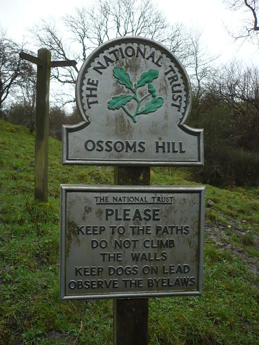
It does seem as though the cheese factory is closed ~ and I assume this would mean no more Stilton from Derbyshire !
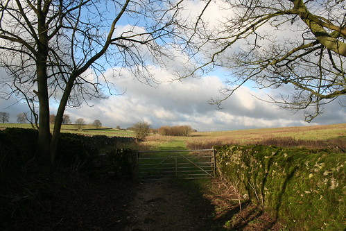
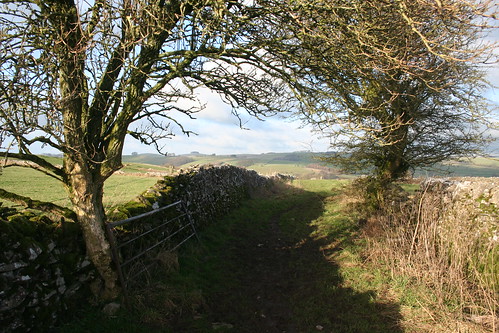
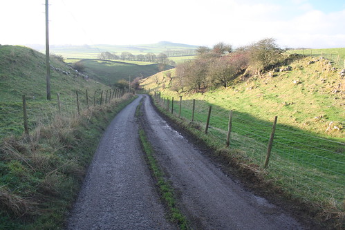
This signpost is near to the cheese factory ...
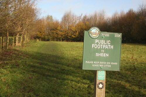
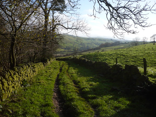
As you can see from the photograph above this path is well used ...
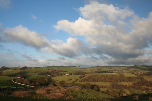
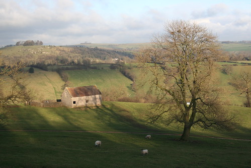
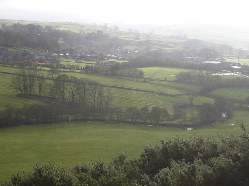
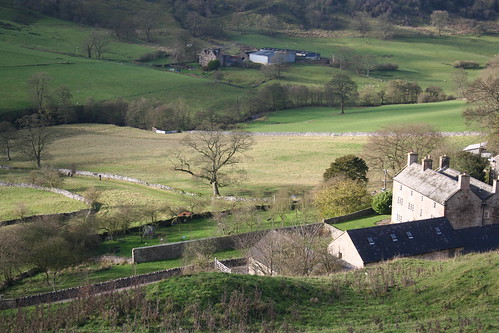
 After crossing the River Dove, I climbed up the bank as though I was heading for Sheen but instead turned north towards Harris Close. There's a good view of Hartington hereabouts with the medieval ridges and furrows in the field in the centre of the photograph below ...
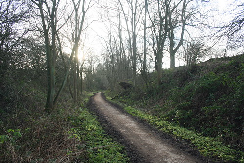
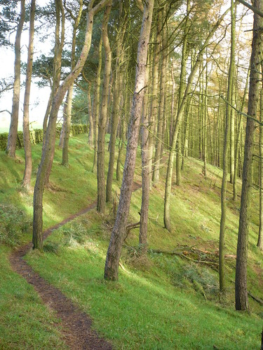
 I passed through the attractive plantation on my way to Harris Close ... as well as some sheep [recently tupped by the look of things]
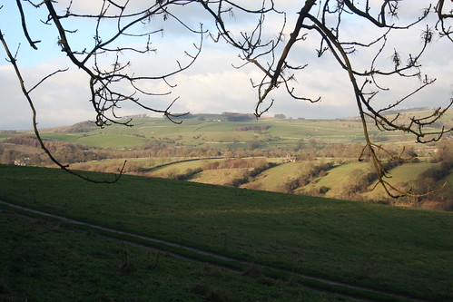
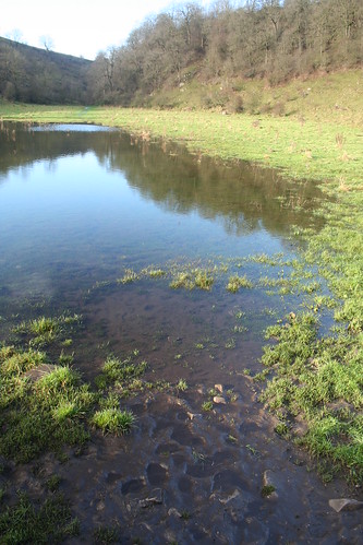
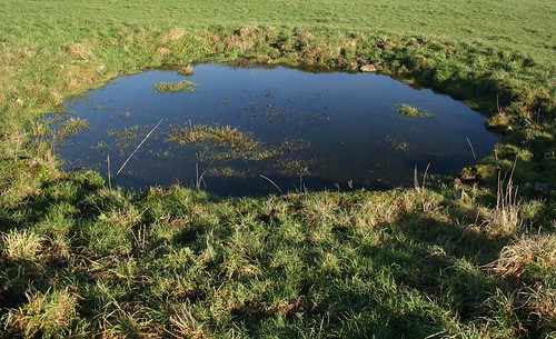
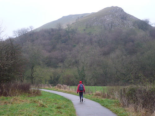
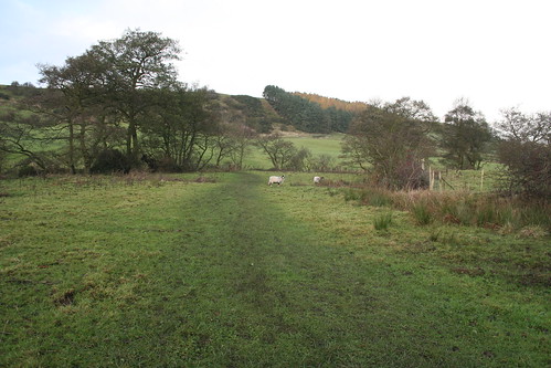
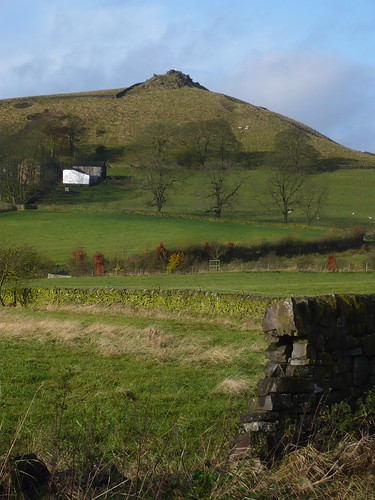
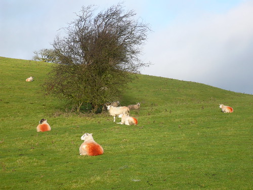 Beyond Harris Close, Sheen Hill was to my left ...
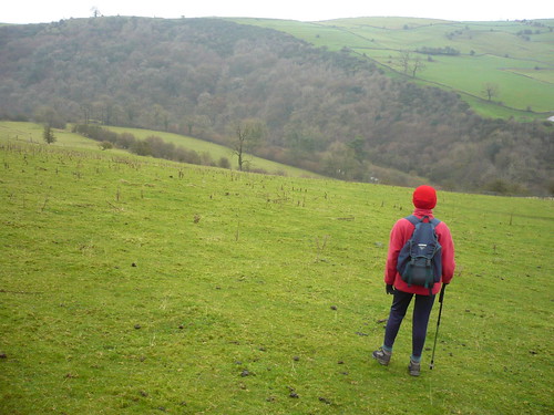
 Just beyond Sheen Hill I caught up with three walkers who were following my walk !
In time honoured fashion, I introduced myself and had a chat. From left to right [I hope I've got this right] it's Keith, Rita and Neil ...
Just beyond Sheen Hill I caught up with three walkers who were following my walk !
In time honoured fashion, I introduced myself and had a chat. From left to right [I hope I've got this right] it's Keith, Rita and Neil ...
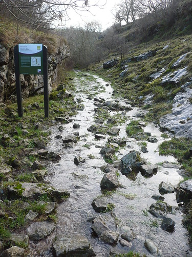
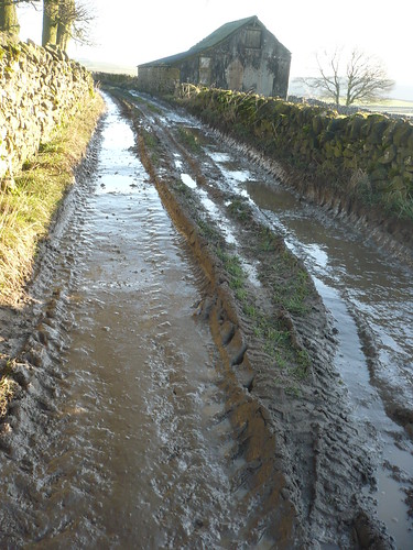
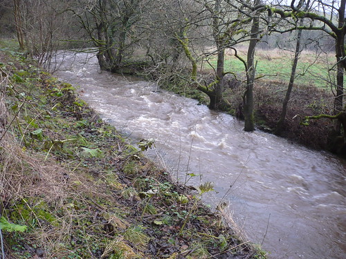
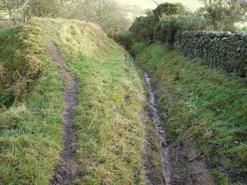
 I left them and headed down the old track to the ford over the Dove. The track was a lot worse than I remember, though initially it wasn't so bad ...
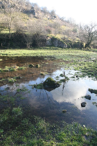
 Eventually I made it down to the River Dove. I followed the steep tarmac lane behind the buildings and looked back just as Keith, Rita and Beil started to walk up out of the valley ...
 I actually Twittered whilst walking through the fields back to Hartington ... but got no comments.
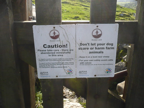
A little further on there were a couple of warnings about falling down mineshafts and not letting your dog savage any sheep.
I actually Twittered whilst walking through the fields back to Hartington ... but got no comments.
A little further on there were a couple of warnings about falling down mineshafts and not letting your dog savage any sheep.
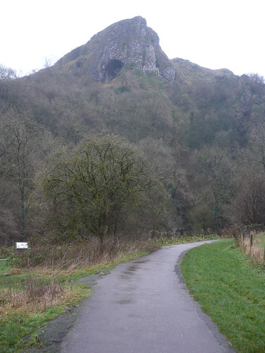
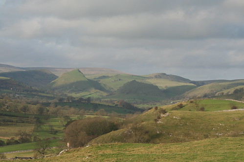
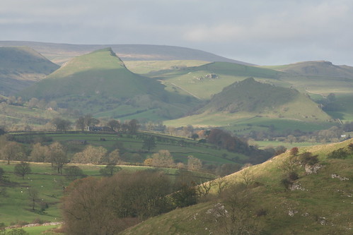
 I bought a telescopic lens a few months ago for about £80 ... and so far I've taken just a handful of photos with it. Still, it's fun ! Here are a couple of images taken looking back up the valley towards Chrome Hill and Parkhouse Hill ... Chrome's on the left, the pointed one ...
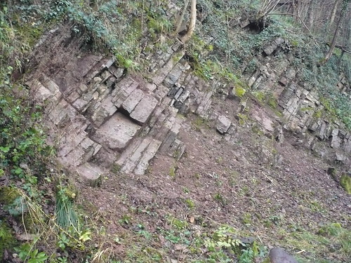
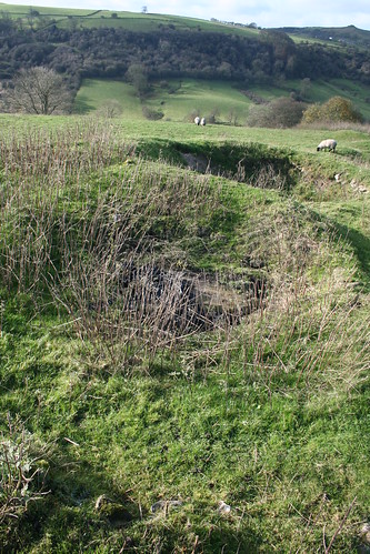
 A little further on, nearer Hartington, there were plenty of signs of leadmining, including these two covered mineshafts ...
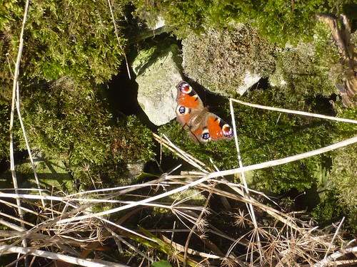
 On the outskirts of Hartington there was a Peacock Butterfly fluttering in the mid November sunshine ...
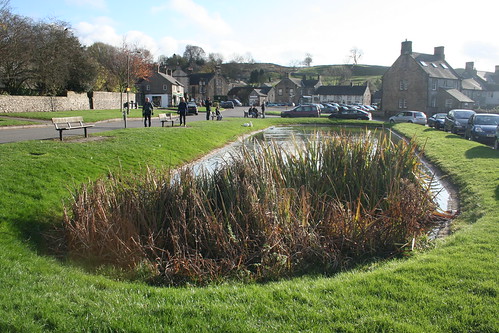
 Back in Hartington, the visitors [and cars] had built up in number ...
 Date of walk ~ 15th November 2009
Length of walk ~ 5 1/4 miles
Total since 1st September 2009 ~ 88 3/4 miles
Date of walk ~ 15th November 2009
Length of walk ~ 5 1/4 miles
Total since 1st September 2009 ~ 88 3/4 miles