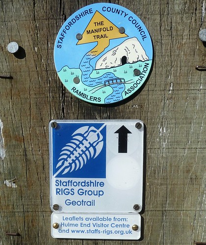
We parked at Hulme End about 15 miles from home and walked along the Manifold Way. We were intrigued by the Staffordshire RIGS Group waymark ...
The Manifold Way is another of the now defunct railways that used to run in the Peak District. This one follows what used to be the Leek and Manifold Light Railway ...
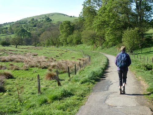
Pock-marked Ecton Hill loomed into view ...
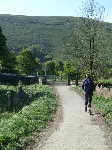
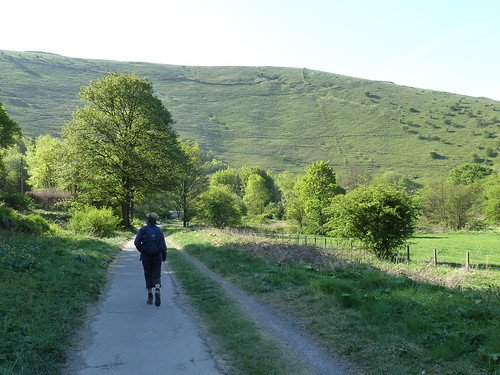
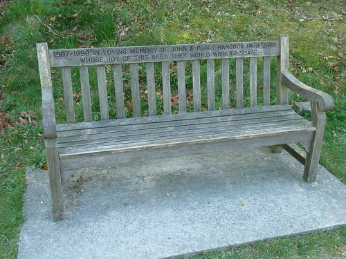
There was evidence how popular this area was and still is ...
Beside the Manifold Way we could see why a Geotrail had been created here ...
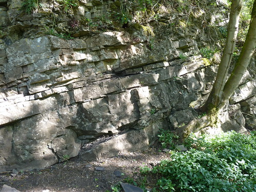
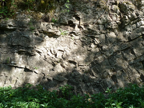
To see the Geotrail leaflet [and download it if you're interested] go to the GeoConservation Staffordshire website here and click on Geotrails and then HampsManifold.
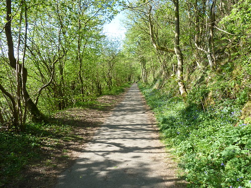
Like many trails that were once railway lines you have to get used to walking in a straight line for a hundred yards [or more] from time to time ...
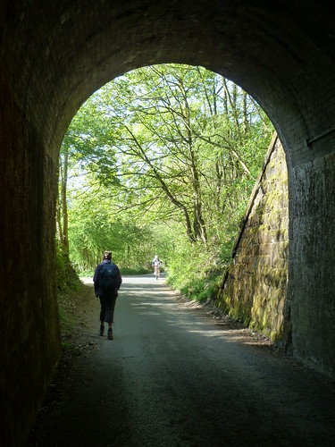
Part of the Manifold Way is still used by traffic ... which makes walking through Swainsley Tunnel good fun ...
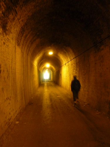
As you can see there's not much room. We made it to the other end though ...
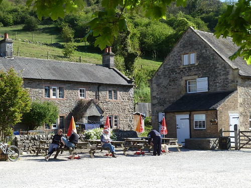
We reached Wetton Mill where there's a nice tearoom and toilets ... as well as two National Trust Holiday Cottages.
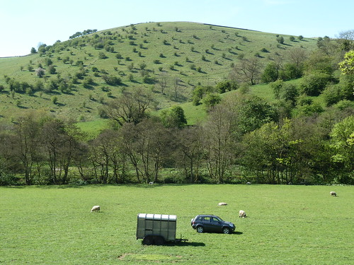
We were now on the eastern side of the River Manifold and as we walked back up the valley we got a good view of Ossoms Hill dotted with hawthorn trees ...
We were following an old road now which got quite steep in places ...
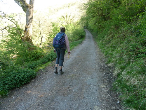
There was more evidence of the interesting geology hereabouts ...
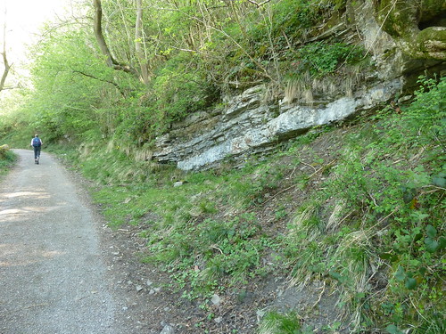
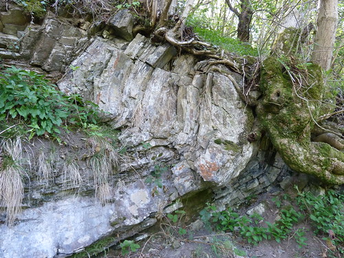
We reached Swainsley again but this time we were across the river and above ground ... and there was a dovecote in view too ...

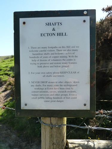
We were back at Ecton Hill and we read through the warning sign carefully ...
We then did something I wouldn't be able to do now ... we walked directly uphill ...
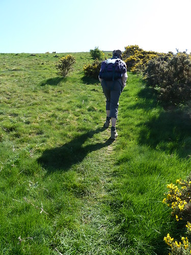
As we were going directly up, some other walkers were on their way down ...
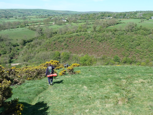
We got a bird's eye view of Swainsley [and its dovecote] now ...
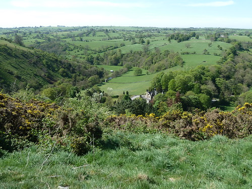
... and the slopes of Ecton Hill to our left ...

A 20 second video [with wind] gives you a good idea of the scenery in these parts ...
From a walking point of view a leader is told he should never walk straight up a hill to walk back down again. Guess what I did ...
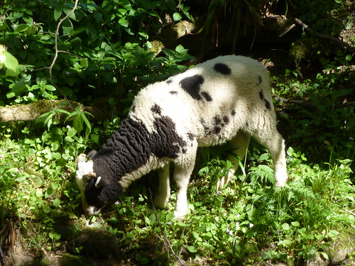
Back at ground level some of the local livestock were foraging ...
There is evidence that copper was mined beneath Ecton Hill as far back as the Bronze Age. It was the 4th Duke of Devonshire who made his fortune from it though, according to the information panel ...
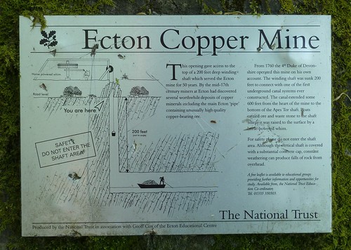
You can see 'you are here' on the panel above and you can see where we were in the photograph below ...
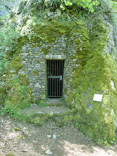
I wonder what it's like 200 feet below ground now.
We made it safely back to the car park and had lunch at the Tea Junction ...
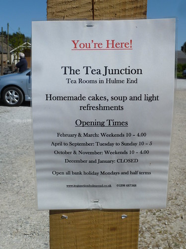
Very nice it was too.

Pock-marked Ecton Hill loomed into view ...


There was evidence how popular this area was and still is ...

Beside the Manifold Way we could see why a Geotrail had been created here ...


To see the Geotrail leaflet [and download it if you're interested] go to the GeoConservation Staffordshire website here and click on Geotrails and then HampsManifold.
Like many trails that were once railway lines you have to get used to walking in a straight line for a hundred yards [or more] from time to time ...

Part of the Manifold Way is still used by traffic ... which makes walking through Swainsley Tunnel good fun ...

As you can see there's not much room. We made it to the other end though ...

We reached Wetton Mill where there's a nice tearoom and toilets ... as well as two National Trust Holiday Cottages.

We were now on the eastern side of the River Manifold and as we walked back up the valley we got a good view of Ossoms Hill dotted with hawthorn trees ...

We were following an old road now which got quite steep in places ...

There was more evidence of the interesting geology hereabouts ...


We reached Swainsley again but this time we were across the river and above ground ... and there was a dovecote in view too ...

We were back at Ecton Hill and we read through the warning sign carefully ...

We then did something I wouldn't be able to do now ... we walked directly uphill ...

As we were going directly up, some other walkers were on their way down ...

We got a bird's eye view of Swainsley [and its dovecote] now ...

... and the slopes of Ecton Hill to our left ...

A 20 second video [with wind] gives you a good idea of the scenery in these parts ...
From a walking point of view a leader is told he should never walk straight up a hill to walk back down again. Guess what I did ...
Back at ground level some of the local livestock were foraging ...

There is evidence that copper was mined beneath Ecton Hill as far back as the Bronze Age. It was the 4th Duke of Devonshire who made his fortune from it though, according to the information panel ...

You can see 'you are here' on the panel above and you can see where we were in the photograph below ...

I wonder what it's like 200 feet below ground now.
We made it safely back to the car park and had lunch at the Tea Junction ...

Very nice it was too.
This walk was followed on the 1st May 2011
Length of walk ~ 6.23 miles *
Total mileage walked so far in 2011 ~ 160.49 miles
Total mileage between the 1st September 2009 and the 1st May 2011 ~ 688.54 miles
37 of 2011 [which means in 2011 I was averaging approximately 4.33 miles a walk.]
* distance calculated on Ordnance Survey's Getamap
Length of walk ~ 6.23 miles *
Total mileage walked so far in 2011 ~ 160.49 miles
Total mileage between the 1st September 2009 and the 1st May 2011 ~ 688.54 miles
37 of 2011 [which means in 2011 I was averaging approximately 4.33 miles a walk.]
* distance calculated on Ordnance Survey's Getamap
This summary includes a walk of 2.26 miles on the 30th April 2011 around the villages of Carsington and Hopton for which there are no photographs.

