Once you've negotiated the A1 and driven into Elkesley there are quite a number of walking options to the west. Clumber Park is for example just three or four miles away as the crow flies.
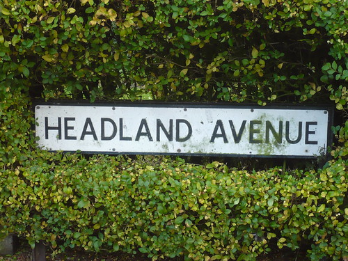
I parked by the church and walked along the village street before turning left and passing the 'Headland Avenue' sign in a privet hedge ...
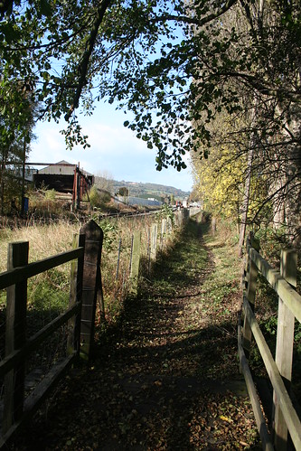
I then followed a narrow tarmac lane west towards Crookford Hill and walked alongside a tall metal fence surmounted with razor wire. Beyond it was a large building which seems to be a woodmill and/or recycling centre ...

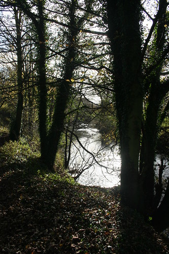
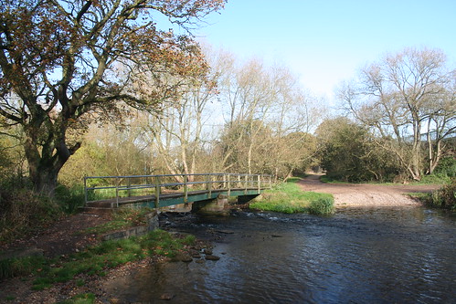
Turning south, I soon reached the footbridge over the River Poulter near the ford ...
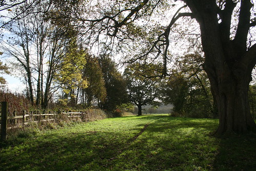
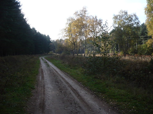
The Robin Hood Way led away from the river towards Spitfire Hill ...
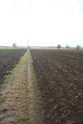
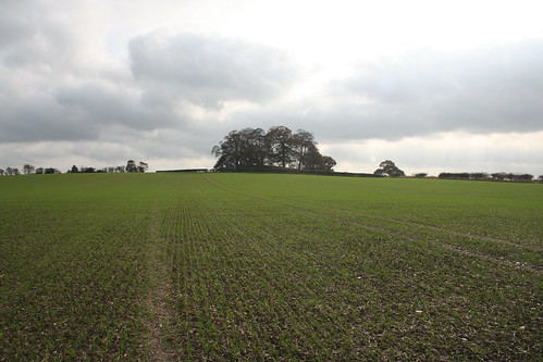
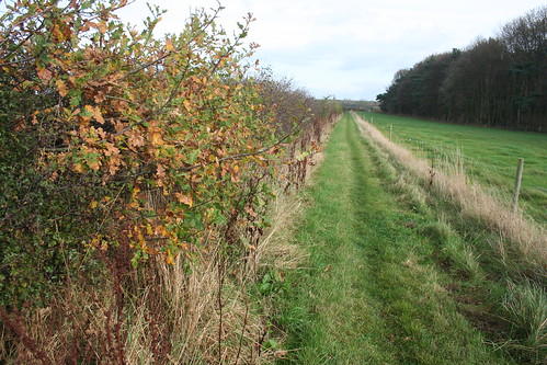
The Robin Hood Way lies beneath electricity lines for some distance. The day I was there the fields on either side had been ploughed ...
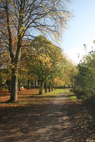
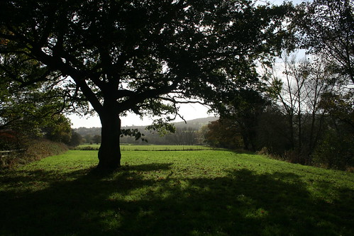
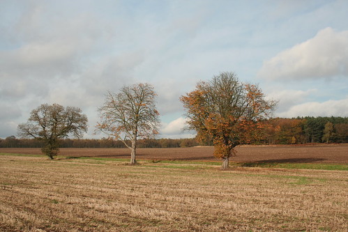
Beyond this I left the Robin Hood Way and followed a path that would lead me to Bothamsall. Turning round three trees in the autumn light caught my eye ...
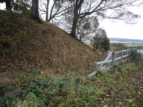
On the edge of Bothamsall there's a motte topped by a group of trees.
Once I reached the top of the field, I had a closer look at the motte ...
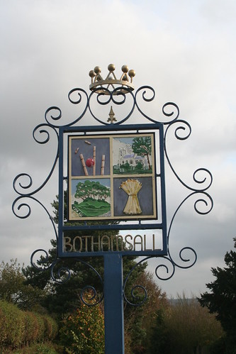
I walked below the village sign of Bothamsall.
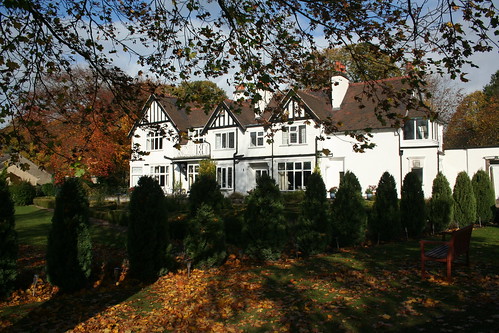
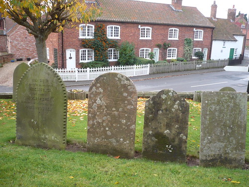
Bothamsall's an attractive village with a church that wasn't open.
Some of the locals didn't look very friendly ...
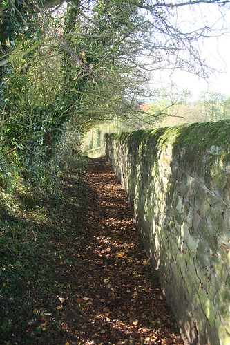
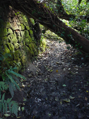
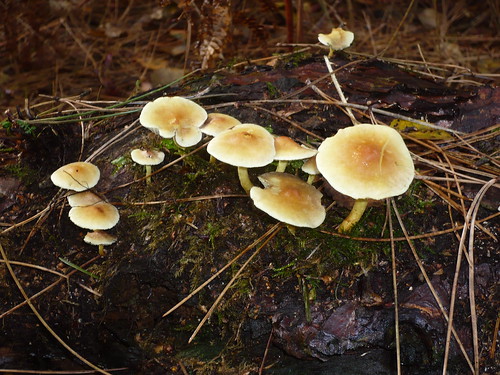
I walked along the lane beside the church that becomes a bridleway leading to Haughton Park House Farm ... on the way I passed Cottage Plantation to my right. A greater spotted woodpecker was calling in the wood ...
At the farm the bridleway joins the Robin Hood Way. According to my OS Map the Robin Hood Way splits to the south west of Bothamsall with one section heading straight to Clumber Park and the other heading along a more circuitous route passing through both Bothamsall and Elkesley.
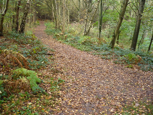
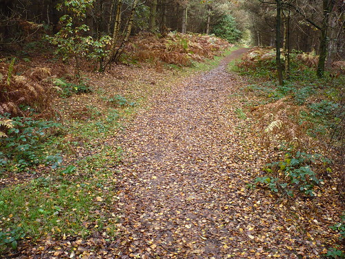
Anyway ... the Robin Hood Way passes through Elkesley Wood ...
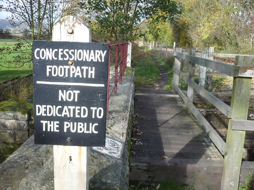
I crossed the River Poulter again to get back into Elkesley.
As I was taking off my boots at the end of the walk to put on my shoes, a young girl about 12 or 13 walked up to me and said "Excuse me Sir, are you waiting to go into the church ?" I told her I had just walked around the churchyard but the church itself seemed to be closed. Then I asked if she was waiting to go inside ... but the conversation fizzled out as she walked away. Strange !
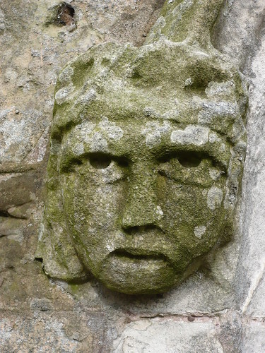
The view of the church from amongst the yew trees in the churchyard was a good one ...

Date of walk ~ 31st October 2009
Length of walk ~ 5 miles
Total since 1st September 2009 ~ 83 1/2 miles.
Turning south, I soon reached the footbridge over the River Poulter near the ford ...
The Robin Hood Way led away from the river towards Spitfire Hill ...
The Robin Hood Way lies beneath electricity lines for some distance. The day I was there the fields on either side had been ploughed ...
Beyond this I left the Robin Hood Way and followed a path that would lead me to Bothamsall. Turning round three trees in the autumn light caught my eye ...
On the edge of Bothamsall there's a motte topped by a group of trees.
Once I reached the top of the field, I had a closer look at the motte ...
I walked below the village sign of Bothamsall.
Bothamsall's an attractive village with a church that wasn't open.
Some of the locals didn't look very friendly ...
I walked along the lane beside the church that becomes a bridleway leading to Haughton Park House Farm ... on the way I passed Cottage Plantation to my right. A greater spotted woodpecker was calling in the wood ...
At the farm the bridleway joins the Robin Hood Way. According to my OS Map the Robin Hood Way splits to the south west of Bothamsall with one section heading straight to Clumber Park and the other heading along a more circuitous route passing through both Bothamsall and Elkesley.
Anyway ... the Robin Hood Way passes through Elkesley Wood ...
I crossed the River Poulter again to get back into Elkesley.
As I was taking off my boots at the end of the walk to put on my shoes, a young girl about 12 or 13 walked up to me and said "Excuse me Sir, are you waiting to go into the church ?" I told her I had just walked around the churchyard but the church itself seemed to be closed. Then I asked if she was waiting to go inside ... but the conversation fizzled out as she walked away. Strange !
The view of the church from amongst the yew trees in the churchyard was a good one ...
Date of walk ~ 31st October 2009
Length of walk ~ 5 miles
Total since 1st September 2009 ~ 83 1/2 miles.