Some two and a half years ago, a walk similar to this was going to be included in my next pub walks books ... the pub walks book that never was. The walk had one major drawback ~ crossing the A1. Now I don't mind crossing roads personally but the thought of a stream of my readers negotiating such a busy road would probably not have done much good for my sleep patterns.
Let me show you ...
This was only half the crossing ! We'd already crossed the southbound carriageway and then you see us walking along the footpath that runs between crash barriers between both carriageways. An interesting experience ~ goodness knows what motorists and lorry drivers thought when they saw Jamie and me walking up the centre of such a busy road.
The main thing is we made it ... the book didn't.
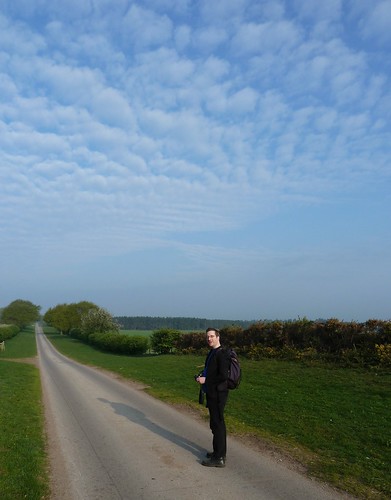
We started off parked near the pub in Ranby a few miles to the east of Worksop in Nottinghamshire. After crossing the A1 things got a lot quieter. In the lovely Spring sunshine we saw Thievesdale Lane stretching away in front of us for a mile or more ...
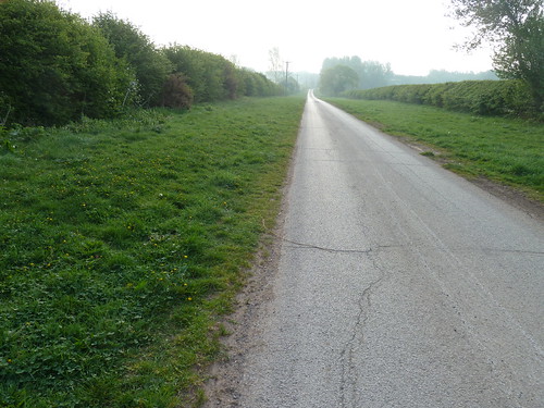
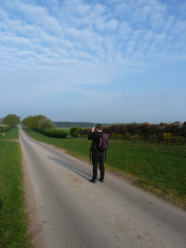
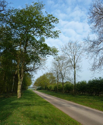
After a mile we had Coachroad Plantation on our left ...
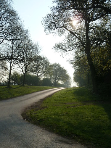
As we turned the corner, now heading southwards, I looked back along Thievesdale Lane as the sun tried to push its way through the trees ...
Unlike the area I come from, Nottinghamshire had quite a few RAF airfields during World War II and RAF Worksop was one of them. There's an excellent and interesting website here ... worth looking at for the photographs alone.
Jamie suggested I imitate a plane coming into land as we passed over where RAF Worksop had been ... I'm not too sure about my aerodynamics. Too much underbelly.

Once we'd reached the hamlet of Scofton we turned right heading westwards towards Worksop. The sun still shone. It was a beautiful day. Another straight Nottinghamshire footpath stretched out ahead of us ...

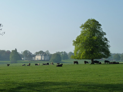
Some of the cattle were taking advantage of the shelter provided by a large tree in front of Osberton Hall ...
The gravel path continued ...
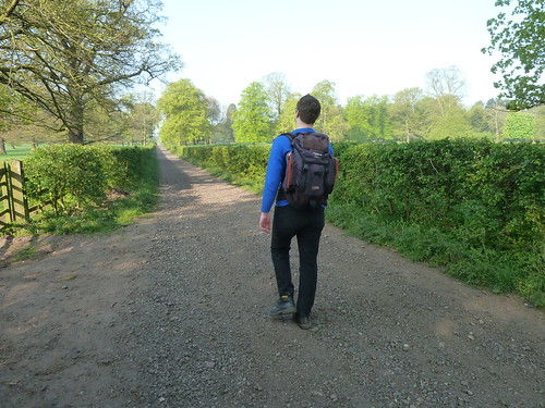
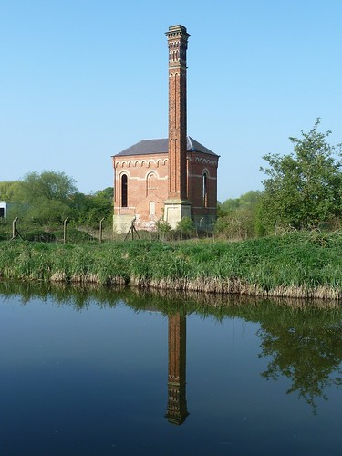
Then 'almost' before we knew it we were walking beside the Chesterfield Canal again and passing Bracebridge pumping station ...
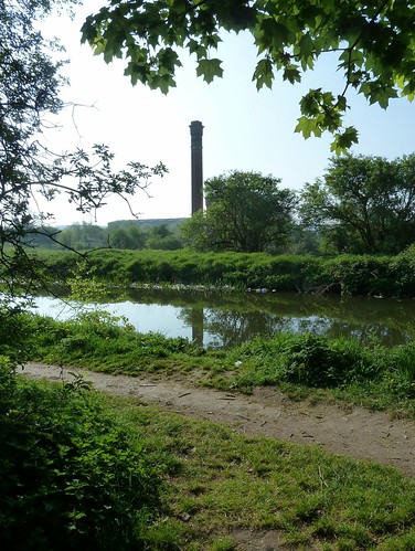
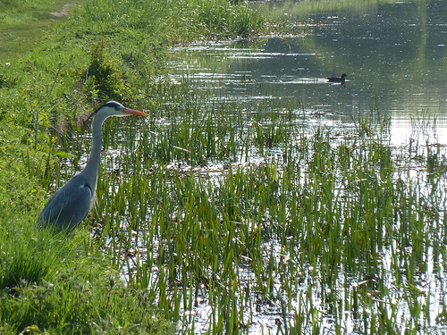
Ahead of us, in the reeds, we espied a master fisher ...
Not all was beauty and light ...

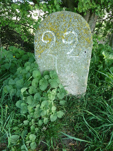
We reached milestone 22, 22 miles from Chesterfield ...
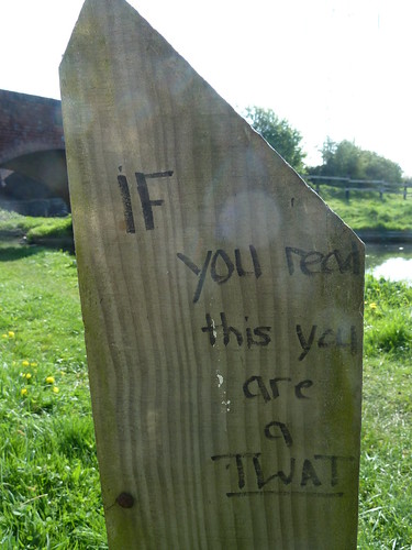
You know what I said above about this walk not being all beauty and light ...

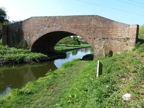
We reached Bridge 45. The further we got from Worksop the 'quieter' things became ...
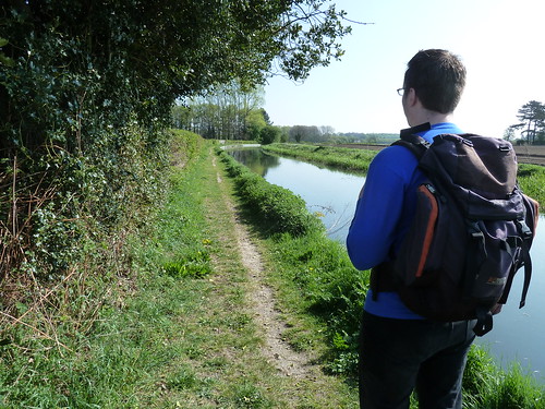
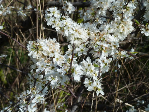
The white flowers of the Blackthorn were in bloom. A shrub that flowers before its leaves are out.
We passed under a new road. Jamie's is just over 6 feet tall. He just managed not to scalp himself ...

Milestone 23 was next ...

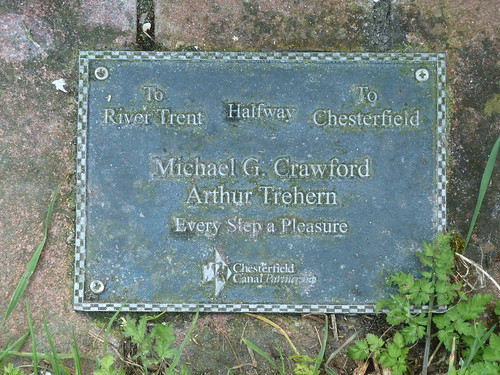
... the half way point !
We were getting near Osberton ...

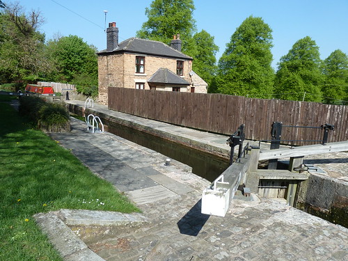
At Osberton Lock you can cross the canal and head back to Scofton but we stayed beside the canal ...
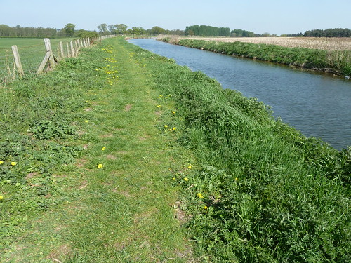
There were no hills on this walk. It was all pretty easy going, easy walking ...
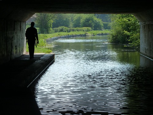
On the edge of Ranby the canal passes under the A1. This time negotiating the dual carriageway was much safer ...
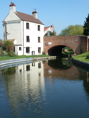
Soon after this we were back in Ranby and able to cross the canal back to our car ...
This walk was followed on the 18th April 2011
Length of walk ~ 9.58 miles *
Total mileage walked so far in 2011 ~ 122.89 miles
Total mileage between the 1st September 2009 and the 18th April 2011 ~ 650.94 miles
27 of 2011 [which means in 2011 I was averaging just over 4.5 miles a walk.]
* distance calculated on Ordnance Survey's Getamap
The main thing is we made it ... the book didn't.
We started off parked near the pub in Ranby a few miles to the east of Worksop in Nottinghamshire. After crossing the A1 things got a lot quieter. In the lovely Spring sunshine we saw Thievesdale Lane stretching away in front of us for a mile or more ...


After a mile we had Coachroad Plantation on our left ...

As we turned the corner, now heading southwards, I looked back along Thievesdale Lane as the sun tried to push its way through the trees ...

Unlike the area I come from, Nottinghamshire had quite a few RAF airfields during World War II and RAF Worksop was one of them. There's an excellent and interesting website here ... worth looking at for the photographs alone.
Jamie suggested I imitate a plane coming into land as we passed over where RAF Worksop had been ... I'm not too sure about my aerodynamics. Too much underbelly.

Once we'd reached the hamlet of Scofton we turned right heading westwards towards Worksop. The sun still shone. It was a beautiful day. Another straight Nottinghamshire footpath stretched out ahead of us ...

Some of the cattle were taking advantage of the shelter provided by a large tree in front of Osberton Hall ...

The gravel path continued ...

Then 'almost' before we knew it we were walking beside the Chesterfield Canal again and passing Bracebridge pumping station ...


Ahead of us, in the reeds, we espied a master fisher ...

Not all was beauty and light ...

We reached milestone 22, 22 miles from Chesterfield ...

You know what I said above about this walk not being all beauty and light ...


We reached Bridge 45. The further we got from Worksop the 'quieter' things became ...


The white flowers of the Blackthorn were in bloom. A shrub that flowers before its leaves are out.

We passed under a new road. Jamie's is just over 6 feet tall. He just managed not to scalp himself ...

Milestone 23 was next ...

... the half way point !

We were getting near Osberton ...

At Osberton Lock you can cross the canal and head back to Scofton but we stayed beside the canal ...

There were no hills on this walk. It was all pretty easy going, easy walking ...

On the edge of Ranby the canal passes under the A1. This time negotiating the dual carriageway was much safer ...

Soon after this we were back in Ranby and able to cross the canal back to our car ...

This walk was followed on the 18th April 2011
Length of walk ~ 9.58 miles *
Total mileage walked so far in 2011 ~ 122.89 miles
Total mileage between the 1st September 2009 and the 18th April 2011 ~ 650.94 miles
27 of 2011 [which means in 2011 I was averaging just over 4.5 miles a walk.]
* distance calculated on Ordnance Survey's Getamap


