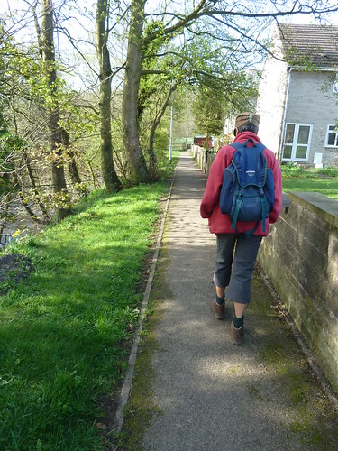
Park at Calver in front of Curbar Primary School and there are a number of walks available to you. This one leads you to the Cundy Graves.
Cross the River Derwent with Calver Mill on your right before taking the riverside path to pass under the main road, the A623. A short distance later and you're heading out into the countryside ...

The path stays beside the river for two hundred yards or so ...
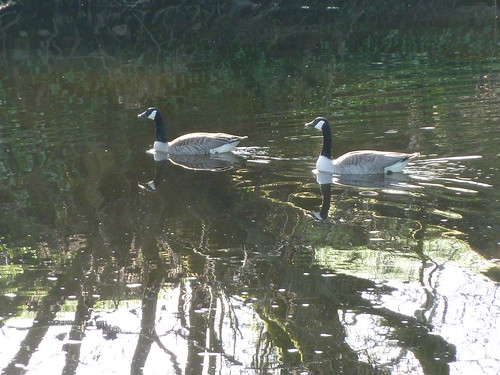
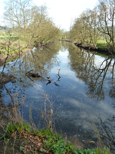
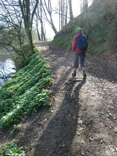
The path leaves the river on the edge of St. Mary's Wood ...
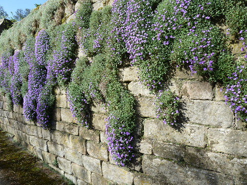
The path becomes a quiet lane and leads towards Bubnell where the aubrieta hangs from a garden wall ...
On the other side of the River Derwent from Bubnell is Baslow with St. Anne's Church standing beside the river ...
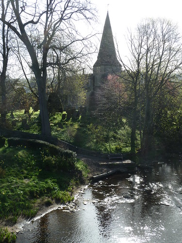
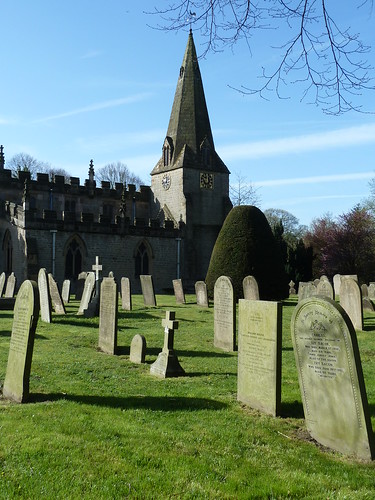
Parts of the church, mainly the tower and spire, are 13th century ...
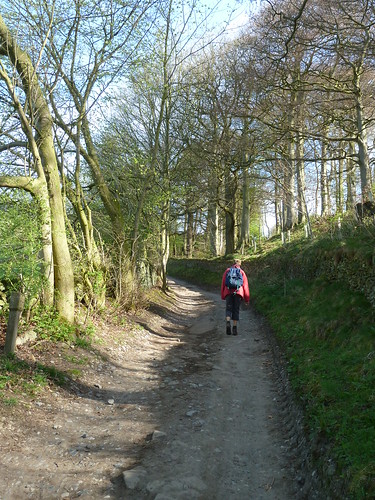
Follow Bar Road as it climbs steeply in a north-easterly direction out of Baslow ...
By Lady Wall Well take the bridleway northwards but cast your eye half-left towards Bramley Wood on the horizon. On the Chatsworth land there [I assume it's Chatsworth land] is an 'E' and an 'R' [Elizabeth Regina] made out of trees ...
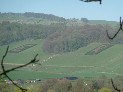
Type 'Bramley Ln Derbyshire DE45' into Google Maps and zoom in on the pair of oblong plantations that should be visible ... you'll get a better image than the one above !
In the next picture as we walk up the bridleway you can just see the 'R' below the horizon to the left ...
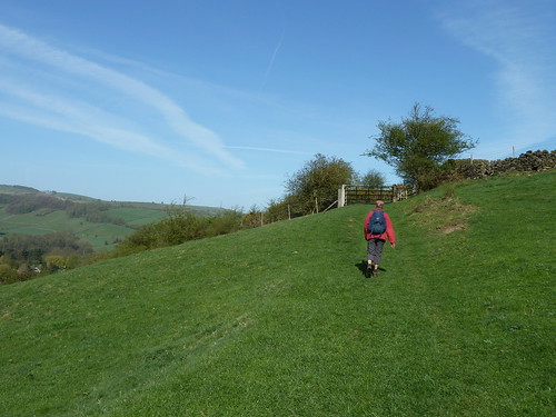
The bridleway rises steadily towards Baslow Edge ...
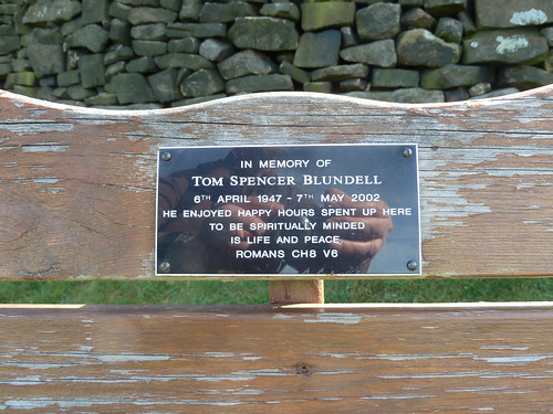
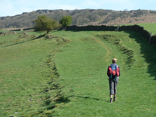
In the bracken below Baslow Edge two paths 'kiss' ... as you can see on the Peak & Northern footpath signpost No. 311 ...
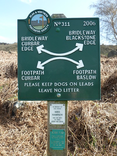
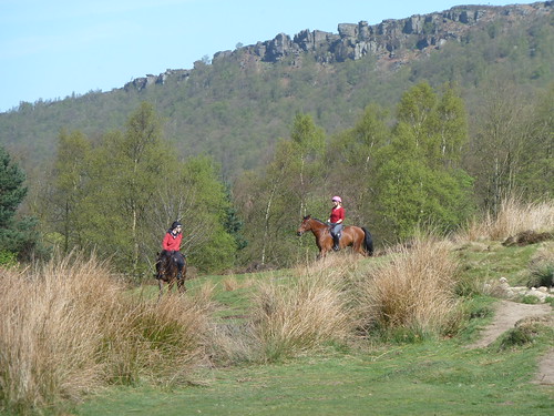
Choose the lower of the two rights of way. Just before the bridleway leaves the moorland you may spot the Cundy Graves ...
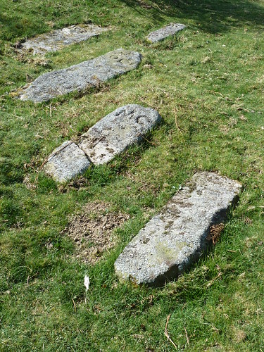
It was here in the middle of the 17th century that the remains of Thomas Cundy, his wife Ada and their children Olive, Nellie and Thomas were buried. You can see some of the initials on the stones above. The most obvious pair being 'MC' ! Perhaps someone mixed up 'M' and 'N'. They lived at Grislow Field a quarter of a mile away.
Nearby a plaque marks their gravestones ...
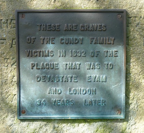
Their bodies have laid in this unconsecrated ground for 381 years.
Fork left off the moor and you'll walk past a late 18th century lock-up in the bottom of someone's garden ...
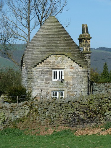

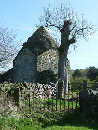
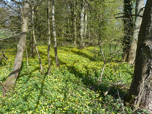
Continue on the path before turning sharp right to reach a small wood which at this time of the year is full of celandines ...
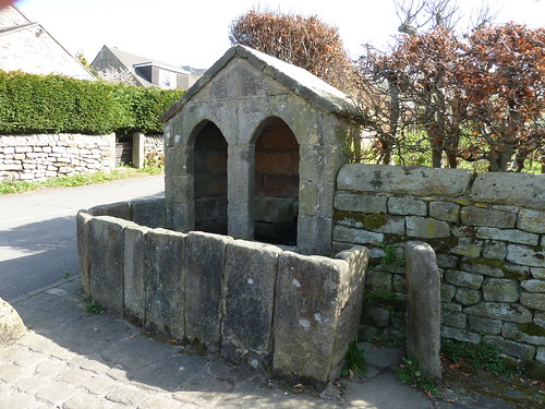
In the centre of Curbar village there's an unusual covered well or trough ...
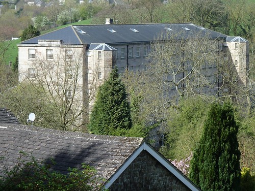
The last feature of note on this four and a half mile walk is Calver Mill. Now private apartments, the building [according to Wikipedia] was "an historic cotton mill opened in 1778 by John Gardom of Bakewell and John Pares of Leicester in place of a corn mill leased from Thomas Eyre of Hassop."
Length of walk ~ 4.39 miles *
Total mileage walked so far in 2011 ~ 105.82 miles
Total mileage between the 1st September 2009 and the 8th April 2011 ~ 633.87 miles
24 of 2011 [which means in 2011 I was averaging just under 4.41 miles a walk.]
* distance calculated on Ordnance Survey's Getamap

