Showing posts with label Derwent Valley Heritage Way. Show all posts

Monday, 29 July 2013

Homeward bound from home ...

Many people [dog walkers in particular] walk up through a private wood to get onto Darley Hillside ... 
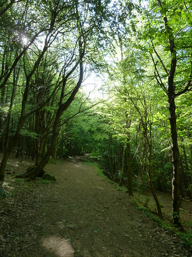
Darley Dale ~ Tinkersley ~ Rowsley

Darley Dale ~ Tinkersley ~ Rowsley

 Head north along the lane at the top of the wood and you will reach Lumb Lane with a bit of luck. Fork right up this to reach a bridleway on your left ...


Darley Dale ~ Tinkersley ~ Rowsley  

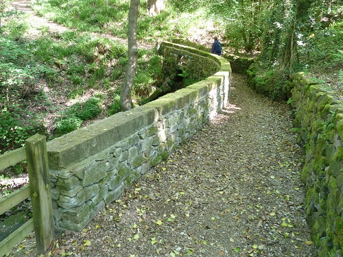
A few years ago the bridleway bridge was badly damaged by a flash fllod but it has since been repaired and made safer in the event of another flood ...

Darley Dale ~ Tinkersley ~ Rowsley

You can see in the next photo that some holes have been left in the stone bridge so that if the stream below floods onto it the water can flow away more quickly.
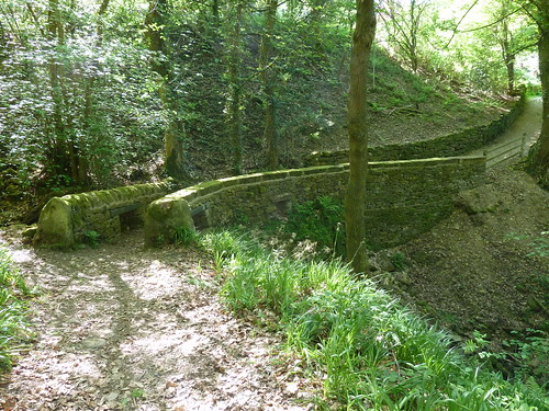
Darley Dale ~ Tinkersley ~ Rowsley   

We'd gone looking for bluebells and as we entered North Wood [between Northwood and Tinkersley] there were certainly plenty to be seen ...
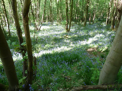
 Darley Dale ~ Tinkersley ~ Rowsley  

Sometimes though photos of bluebells can be disappointing ... sometimes you have to be there ...
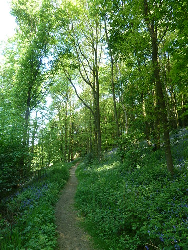
Darley Dale ~ Tinkersley ~ Rowsley

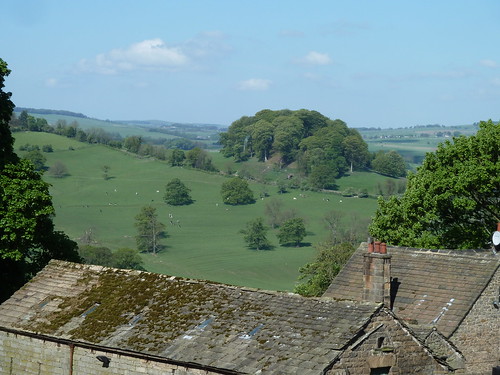
 As we walked into the hamlet of Tinkersley, assuming a handful of houses and farmhouses is a hamlet, we got a great view of Peak Tor, Rowsley ...
Darley Dale ~ Tinkersley ~ Rowsley  

Peak Tor is the 'bump' of trees in the photo above. There are some old earthworks around the other side of this hillock. I thought they would be a couple of thousand years old, possibly more, but I've seen a report in which the Peak Park refers to the earthworks dating  from the "Anglo-Danish period".

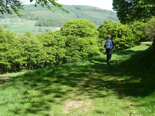
A footpath leaves Tinkersley towards Copy Wood and Rowsley ...
Darley Dale ~ Tinkersley ~ Rowsley

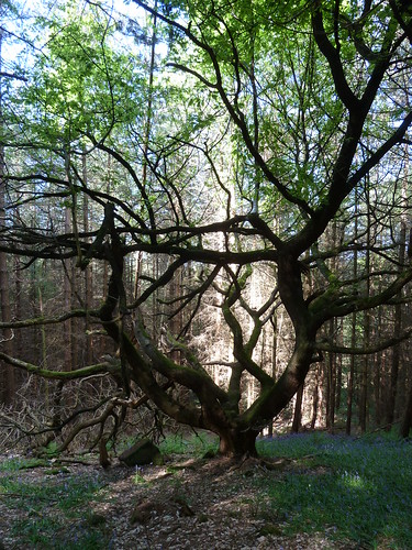
There's a strangely shaped tree in the wood which always catches my eye.
Darley Dale ~ Tinkersley ~ Rowsley

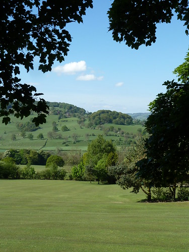
 From the small private golf course in someone's garden we got another view of Peak Tor ...
Darley Dale ~ Tinkersley ~ Rowsley

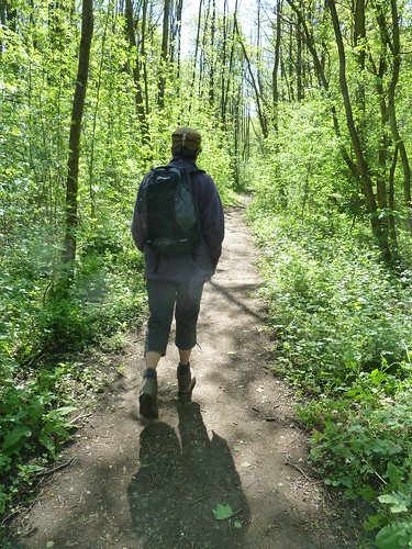
 Once we'd crossed the A6 we soon picked up the Derwent Valley Heritage Way to walk through Rowsley Sidings.
Darley Dale ~ Tinkersley ~ Rowsley

 This isn't a public footpath though it is part of a long distance route !

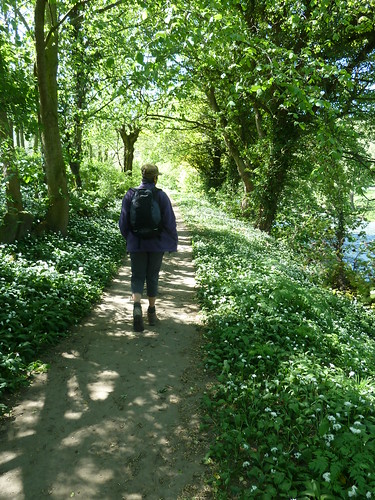
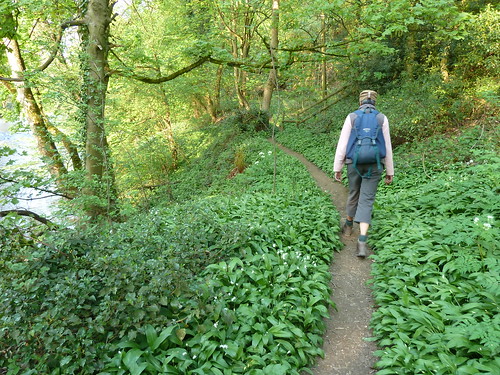
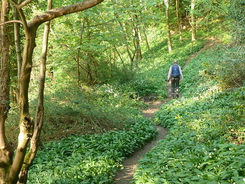
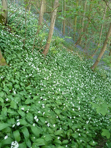
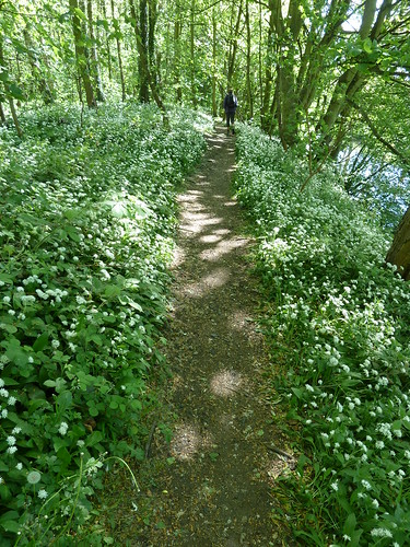
The path eventually runs alongside the River Derwent which you can see on the right below. The wild garlic was out when these photographs were taken.
Darley Dale ~ Tinkersley ~ Rowsley

Darley Dale ~ Tinkersley ~ Rowsley
  
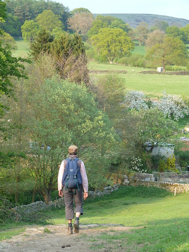
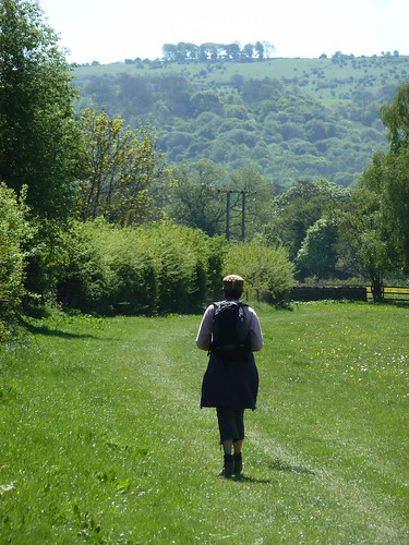
Beyond Peak Rail's Rowsley Station the path opens out as it passes through meadows towards Churchtown, Darley Dale. The Toothbrush, a narrow strip of trees atop Masson Hill can be seen on the horizon.
Darley Dale ~ Tinkersley ~ Rowsley

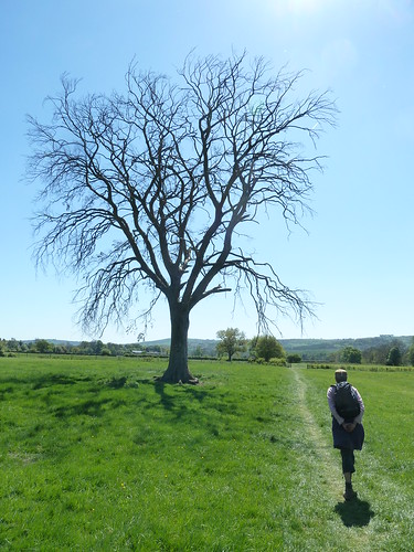
 A litle further on one tree was strangekly leafless ...
Darley Dale ~ Tinkersley ~ Rowsley

 Once we'd reached Churchtown we continued between the Whitworth Park and Peak Rail's railway line ...

 Darley Dale ~ Tinkersley ~ Rowsley 

... before heading home.
 
This walk was followed on the 2nd May 2011
 
Length of walk ~ 6.31 miles *
 
Total mileage walked so far in 2011 ~ 166.80 miles
 
Total mileage between the 1st September 2009 and the 1st May 2011 ~ 688.54 miles

  38 of 2011 [which means in 2011 I was averaging approximately 4.38 miles a walk.]
 
* distance calculated on Ordnance Survey's Getamap

Wednesday, 12 June 2013

A Rowsley Round ...

A round [the way I use it here] means a circular walk. Most walks tend to be circular because you park your car and then you do a round trip to get back to the car ... 

I'm going to tell you about a walk from Rowsley, just along the road from Darley Dale.

We parked in Rowsley, near [but not] in the Caudwell's Mill car park and walked through the Peak Village complex. Just beyond this a [sometimes overgrown] path leads towards the allotments ... 

Rowsley~Beeley~Calton Lees~Rowsley

The guy who used to keep this path cleared hasn't been up to working on these paths for the best part of three years now ...

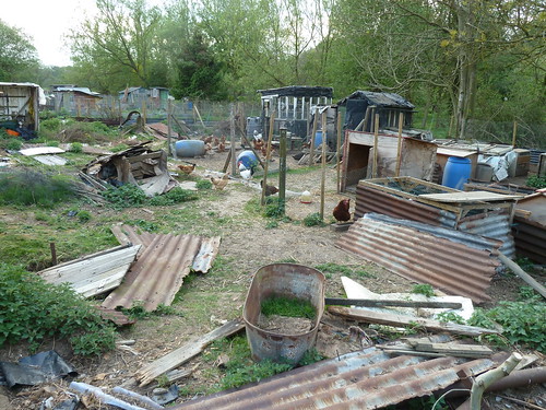
I mentioned the allotments. Well they're more chicken pens and it has to be said this is not the most scenic part of the walk.

Rowsley~Beeley~Calton Lees~Rowsley

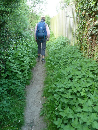
 The path soon improves though as you pick your way through the wild garlic which proliferate in Springtime ...

Rowsley~Beeley~Calton Lees~Rowsley  

Once you reach a road, turn left towards Beeley. Hopefully you won't have to step onto the road because there are cars parked on the pavement ...

Rowsley~Beeley~Calton Lees~Rowsley

A little further along there's a path that clambers up the hillside above the delightfully named Smeltingmill Brook. More wild garlic ... but also some bluebells ...

Rowsley~Beeley~Calton Lees~Rowsley

After passing through a number of smallish fields on the hillside we reached the outskirts of Beeley village ...

Rowsley~Beeley~Calton Lees~Rowsley

Rowsley~Beeley~Calton Lees~Rowsley

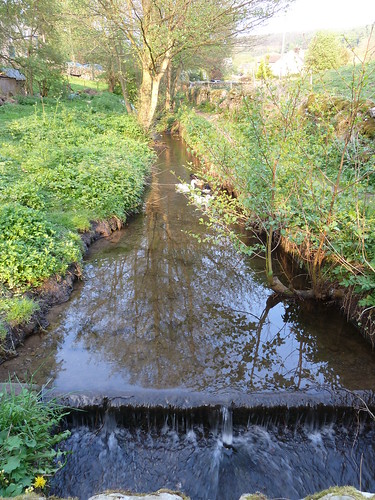
  We crossed Beeley Brook which runs downhill from Hell Bank Plantation ...

Rowsley~Beeley~Calton Lees~Rowsley

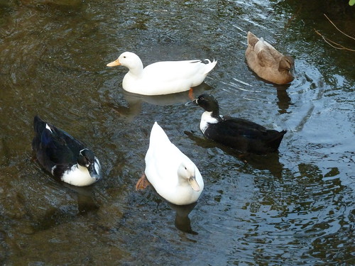
  Often where there's a brook ... there's a duck ...

Rowsley~Beeley~Calton Lees~Rowsley

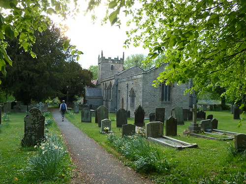
 We walked up to St. Anne's Church, parts of which date back to the 12th century though it seems to be largely Victorian ...

Rowsley~Beeley~Calton Lees~Rowsley

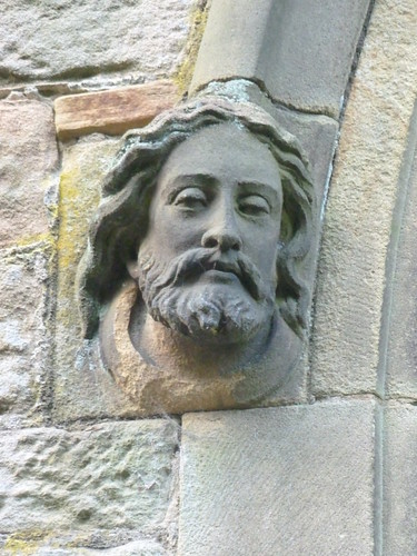
 There's a rather fine sculpture of a head at the doorway ...

Rowsley~Beeley~Calton Lees~Rowsley

 Nearby, a rather sinister grotesque ...

Rowsley~Beeley~Calton Lees~Rowsley

 Do you know the difference between grotesques and gargoyles ? Well a gargoyle always carries water ... gargoyle coming from the French word gargouille, meaning throat or gullet. 

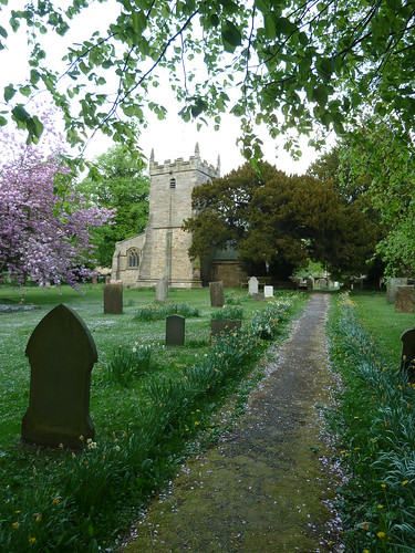
  The churchyard was pink in part, covered in flower petals ...

Rowsley~Beeley~Calton Lees~Rowsley

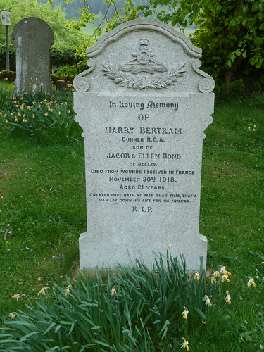
 For some reason the light coloured gravestone at the top of the photo above caught my eye ...

Rowsley~Beeley~Calton Lees~Rowsley

 Harry Bertram appears to have died nineteen days after the armistice was signed.

We left St. Anne's churchyard ...

Rowsley~Beeley~Calton Lees~Rowsley

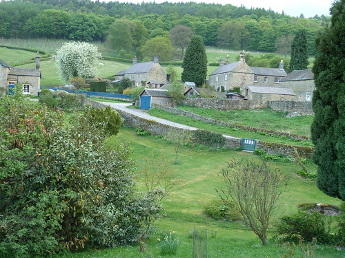
 We walked half a mile across the large field that lies between the Beeley/Chatsworth road and the River Derwent before rising up a small slope to reach the Chatsworth estate village of Calton Lees ...

Rowsley~Beeley~Calton Lees~Rowsley

 You can always tell a Chatsworth property in this area by the blue doors and gates.

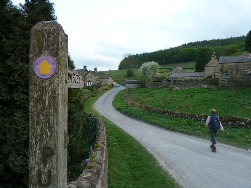
The Derwent Valley Heritage Way runs through Calton Lees so we decided to follow it back towards Rowsley ...

Rowsley~Beeley~Calton Lees~Rowsley  

Rowsley~Beeley~Calton Lees~Rowsley

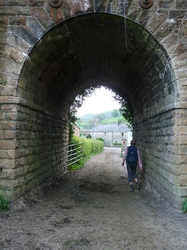
 We passed under the redundant railway bridge on the edge of Rowsley and were back at the start ...

Rowsley~Beeley~Calton Lees~Rowsley


This walk was followed on the 25th April 2011
 
Length of walk ~ 4.38 miles *
 
Total mileage walked so far in 2011 ~ 140.29 miles
 
Total mileage between the 1st September 2009 and the 25th April 2011 ~ 668.34 miles

  31 of 2011 [which means in 2011 I was still averaging just over 4.5 miles a walk.]
 
* distance calculated on Ordnance Survey's Getamap
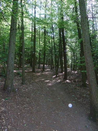


Sunday, 28 October 2012

A walk on the Derwent Valley Heritage Way ...

The Derwent Valley Heritage Way is a 55 mile walk from Heatherdene [a car park at the southern tip of Ladybower Reservoir] all the way down the Derwent valley to Derwent Mouth [where the River Derwent flows into the River Trent].

It's a varied walk full of interest though some may say that the scenery becomes slightly less appealing the further south you go ... see what you think in the series of blogs to come.

I started off following the route on the 9th January 2011, nearly two years ago ... and I still haven't finished it, though I haven't got that much more to do. That's the way of things for me I'm afraid.

I started off from Severn-Trent's Heatherdene car park where an impressive carved wooden seat sits outside their toilet block ...

A first day on the Derwent Valley Heritage Way ...

I soon saw my first waymark ! How many more of these would I see I wonder ?

A first day on the Derwent Valley Heritage Way ...  

At the southern end of the path that stretches away from the car park I crossed the A6013 and leaned over the wall to see how much water was flowing into the Ladybower overflow that day ...

A first day on the Derwent Valley Heritage Way ...

We can all see that there was none.

After crossing the reservoir we turned south and soon picked up the old railway line that is now the Thornhill Trail ...

A first day on the Derwent Valley Heritage Way ...

A first day on the Derwent Valley Heritage Way ...

There were some good views across the valley towards Bamford Edge on the far side ...

A first day on the Derwent Valley Heritage Way ...

At the southern end of the Thornhill Trail, beside a Quaker Meeting House ...

A first day on the Derwent Valley Heritage Way ...


... we noticed some community gardens !

A first day on the Derwent Valley Heritage Way ...

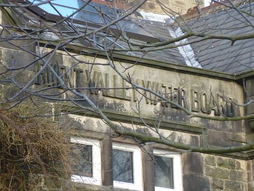
The stonework over the entrance to the Meeting House indicates that it was once a meeting house for something very different ...

A first day on the Derwent Valley Heritage Way ...

... the Derwent Valley Water Board.

In fact it seems that although the building is used for Quaker Meetings there is a Quaker Community there too.

Even though we were moving away from it, we still had some great views of Bamford Edge ...

A first day on the Derwent Valley Heritage Way ...

After walking on the edge of a couple of fields we passed under the railway line ...

A first day on the Derwent Valley Heritage Way ...

... and walked through the grounds of High Peak Garden Centre to reach the A6187. 

We turned left along this road and left the Derwent Valley Heritage Way to walk south-east along the Mytham Bridge road to reach the main road near Bamford railway station. Here we walked up through the village of Bamford itself. 

Have I mentioned that my walks are sometimes not like other people's ? This may be because other walkers probably don't use as many roads and lanes as me. Ah well ... we love looking at other people's houses [we really do].


 We left the main road near the top of the village [somwhere between the two pubs] and walked up what is shown as Bamford Clough and Leeside Road on my OS Dark Peak Map and The Clough on Google Maps. 

I did say that we "walked up what is shown as Bamford Clough" didn't I. Well initially it was a gentle enough climb ...
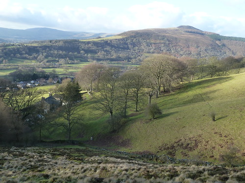
A first day on the Derwent Valley Heritage Way ...

... though I think you can see from the photo above that it was pretty steep. 

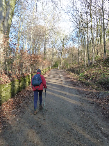
It got steeper ... and rougher ...

A first day on the Derwent Valley Heritage Way ...

In fact, it got even steeper and rougher ... and slippery too ...

A first day on the Derwent Valley Heritage Way ...

We were glad to take a few breaks to admire the view towards Win Hill ...

A first day on the Derwent Valley Heritage Way ...

Then the track [which is in fact a road] got bumpy too ...

A first day on the Derwent Valley Heritage Way ...

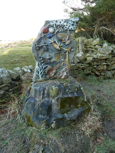
We passed one of the five sculptures on the Bamford Touchstone Sculpture Trail. This one represents 'Air' ...

A first day on the Derwent Valley Heritage Way ...

All the way up this very steep track I had been concerned that we might have met something coming down ... a 4x4 or some motorbikes perhaps.

As we got near the top of the track we noticed a very poignant plaque beside the track ...

A first day on the Derwent Valley Heritage Way ...

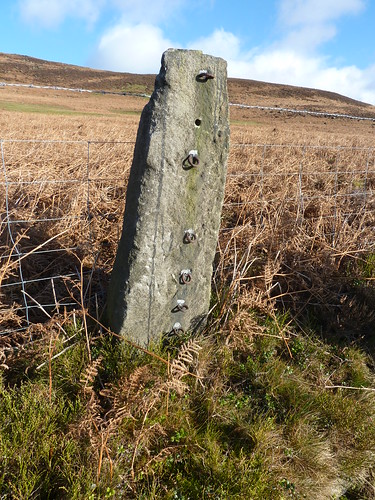
Feeling tired and rather subdued we finally reached the top of the track and turned left down New Road with Bamford Edge above us on our right. On the roadside we passed an interesting old stone fencepost though it wasn't being used quite as it would have been used in the past ...

A first day on the Derwent Valley Heritage Way ...

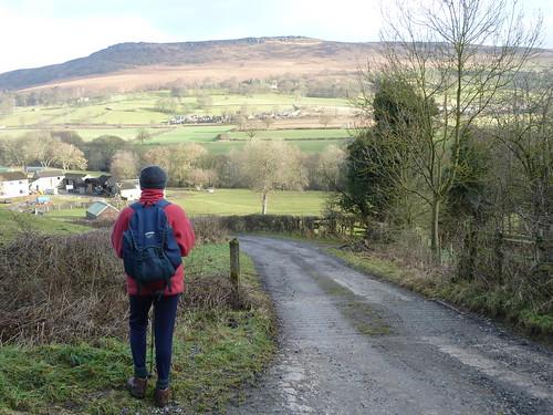
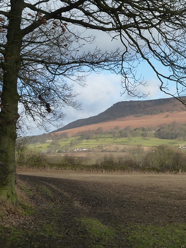
As we descended we had Win Hill away to our left all the way ...

A first day on the Derwent Valley Heritage Way ...

At the bottom of the hill, on reaching the A6013 we turned right and retraced our steps back to the car. An interesting and sometimes taxing walk.

This walk was followed on the 9th January 2011
 
Length of walk ~ 5.6 miles *
 
Total mileage walked so far in 2011 ~ 10,8 miles
 
Total mileage between the 1st September 2009 and the 9th January 2011 ~ 539.85 miles
 
3 of 2011
* distance calculated on Ordnance Survey's Getamap