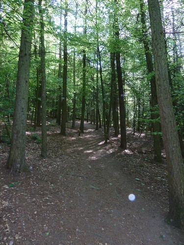
Many people [dog walkers in particular] walk up through a private wood to get onto Darley Hillside ...
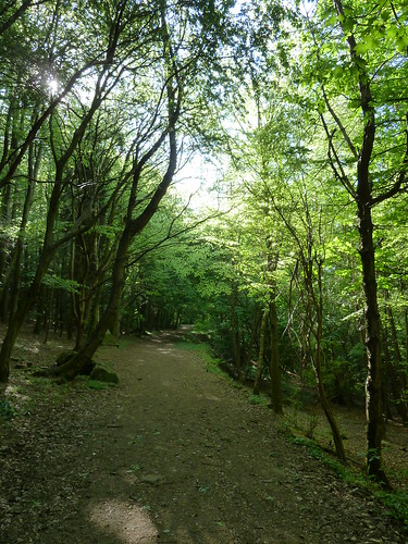
Head north along the lane at the top of the wood and you will reach Lumb Lane with a bit of luck. Fork right up this to reach a bridleway on your left ...

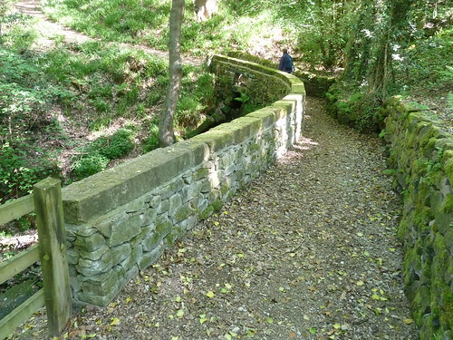
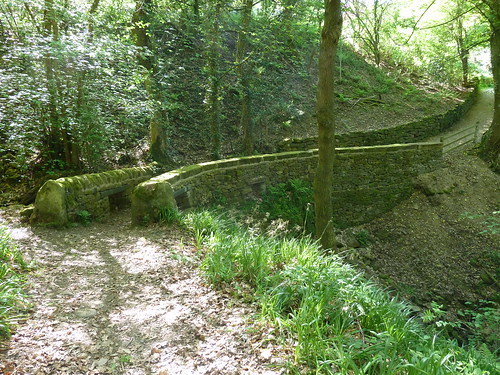
A few years ago the bridleway bridge was badly damaged by a flash fllod but it has since been repaired and made safer in the event of another flood ...
You can see in the next photo that some holes have been left in the stone bridge so that if the stream below floods onto it the water can flow away more quickly.
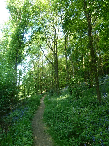
We'd gone looking for bluebells and as we entered North Wood [between Northwood and Tinkersley] there were certainly plenty to be seen ...
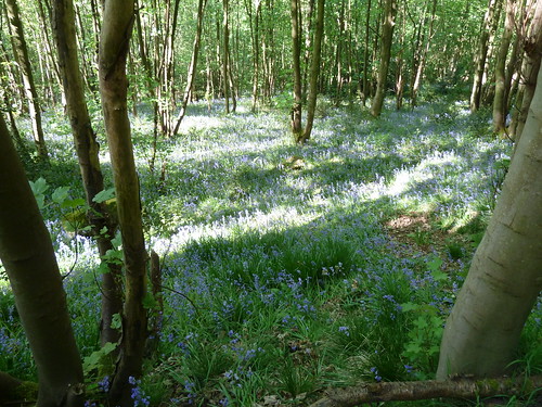
Sometimes though photos of bluebells can be disappointing ... sometimes you have to be there ...
As we walked into the hamlet of Tinkersley, assuming a handful of houses and farmhouses is a hamlet, we got a great view of Peak Tor, Rowsley ...
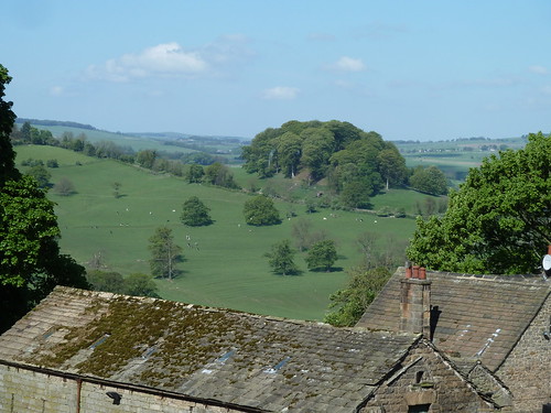
Peak Tor is the 'bump' of trees in the photo above. There are some old earthworks around the other side of this hillock. I thought they would be a couple of thousand years old, possibly more, but I've seen a report in which the Peak Park refers to the earthworks dating from the "Anglo-Danish period".
A footpath leaves Tinkersley towards Copy Wood and Rowsley ...
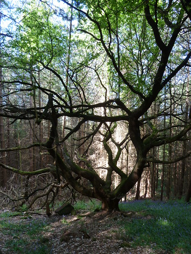
There's a strangely shaped tree in the wood which always catches my eye.
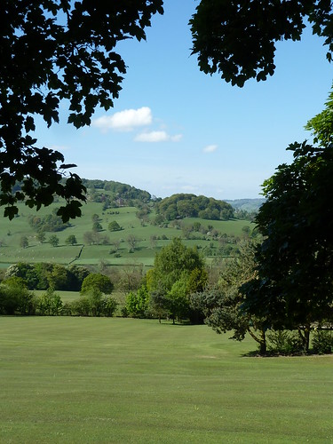
From the small private golf course in someone's garden we got another view of Peak Tor ...
Once we'd crossed the A6 we soon picked up the Derwent Valley Heritage Way to walk through Rowsley Sidings.
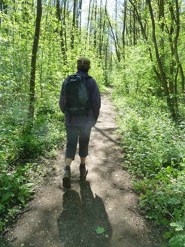
This isn't a public footpath though it is part of a long distance route !
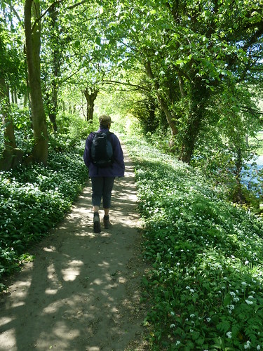
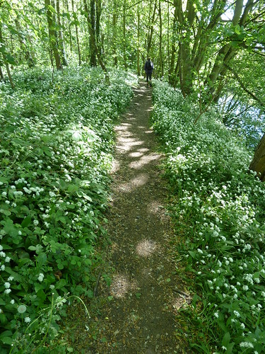
The path eventually runs alongside the River Derwent which you can see on the right below. The wild garlic was out when these photographs were taken.

We'd gone looking for bluebells and as we entered North Wood [between Northwood and Tinkersley] there were certainly plenty to be seen ...

Sometimes though photos of bluebells can be disappointing ... sometimes you have to be there ...

As we walked into the hamlet of Tinkersley, assuming a handful of houses and farmhouses is a hamlet, we got a great view of Peak Tor, Rowsley ...

Peak Tor is the 'bump' of trees in the photo above. There are some old earthworks around the other side of this hillock. I thought they would be a couple of thousand years old, possibly more, but I've seen a report in which the Peak Park refers to the earthworks dating from the "Anglo-Danish period".
A footpath leaves Tinkersley towards Copy Wood and Rowsley ...

There's a strangely shaped tree in the wood which always catches my eye.

From the small private golf course in someone's garden we got another view of Peak Tor ...

Once we'd crossed the A6 we soon picked up the Derwent Valley Heritage Way to walk through Rowsley Sidings.

This isn't a public footpath though it is part of a long distance route !
The path eventually runs alongside the River Derwent which you can see on the right below. The wild garlic was out when these photographs were taken.

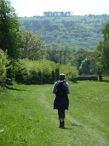
Beyond Peak Rail's Rowsley Station the path opens out as it passes through meadows towards Churchtown, Darley Dale. The Toothbrush, a narrow strip of trees atop Masson Hill can be seen on the horizon.
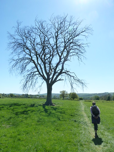
A litle further on one tree was strangekly leafless ...
Once we'd reached Churchtown we continued between the Whitworth Park and Peak Rail's railway line ...

... before heading home.
This walk was followed on the 2nd May 2011
Length of walk ~ 6.31 miles *
Total mileage walked so far in 2011 ~ 166.80 miles
Total mileage between the 1st September 2009 and the 1st May 2011 ~ 688.54 miles
38 of 2011 [which means in 2011 I was averaging approximately 4.38 miles a walk.]
* distance calculated on Ordnance Survey's Getamap
Length of walk ~ 6.31 miles *
Total mileage walked so far in 2011 ~ 166.80 miles
Total mileage between the 1st September 2009 and the 1st May 2011 ~ 688.54 miles
38 of 2011 [which means in 2011 I was averaging approximately 4.38 miles a walk.]
* distance calculated on Ordnance Survey's Getamap

