Showing posts with label bluebells. Show all posts

Monday, 29 July 2013

Homeward bound from home ...

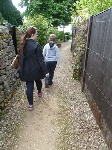
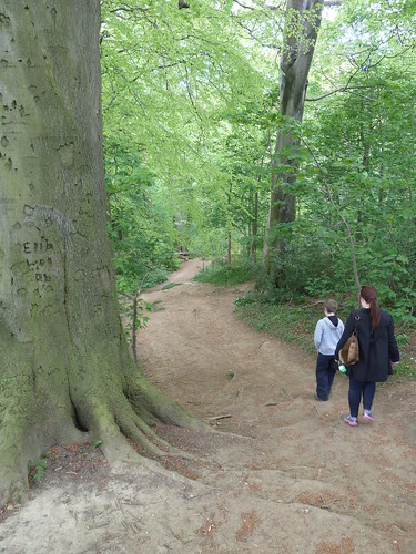
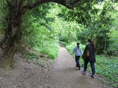
Many people [dog walkers in particular] walk up through a private wood to get onto Darley Hillside ... 
Darley Dale ~ Tinkersley ~ Rowsley

Darley Dale ~ Tinkersley ~ Rowsley

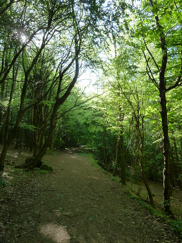
 Head north along the lane at the top of the wood and you will reach Lumb Lane with a bit of luck. Fork right up this to reach a bridleway on your left ...


Darley Dale ~ Tinkersley ~ Rowsley  

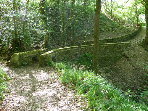
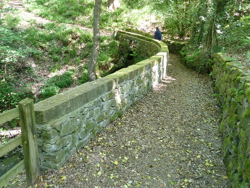
A few years ago the bridleway bridge was badly damaged by a flash fllod but it has since been repaired and made safer in the event of another flood ...

Darley Dale ~ Tinkersley ~ Rowsley

You can see in the next photo that some holes have been left in the stone bridge so that if the stream below floods onto it the water can flow away more quickly.
Darley Dale ~ Tinkersley ~ Rowsley   

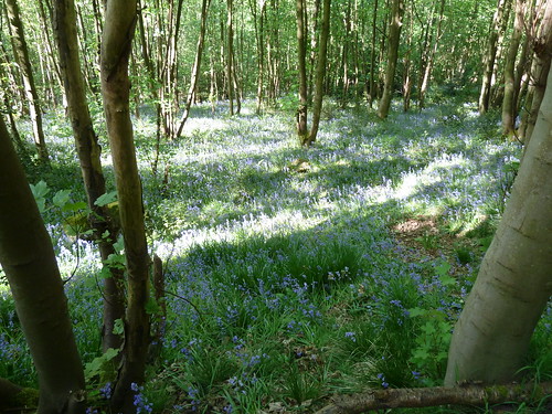
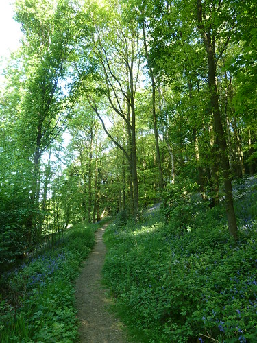
We'd gone looking for bluebells and as we entered North Wood [between Northwood and Tinkersley] there were certainly plenty to be seen ...
 Darley Dale ~ Tinkersley ~ Rowsley  

Sometimes though photos of bluebells can be disappointing ... sometimes you have to be there ...
Darley Dale ~ Tinkersley ~ Rowsley

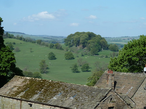
 As we walked into the hamlet of Tinkersley, assuming a handful of houses and farmhouses is a hamlet, we got a great view of Peak Tor, Rowsley ...
Darley Dale ~ Tinkersley ~ Rowsley  

Peak Tor is the 'bump' of trees in the photo above. There are some old earthworks around the other side of this hillock. I thought they would be a couple of thousand years old, possibly more, but I've seen a report in which the Peak Park refers to the earthworks dating  from the "Anglo-Danish period".

A footpath leaves Tinkersley towards Copy Wood and Rowsley ...
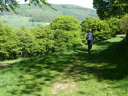
Darley Dale ~ Tinkersley ~ Rowsley

There's a strangely shaped tree in the wood which always catches my eye.
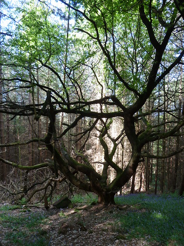
Darley Dale ~ Tinkersley ~ Rowsley

 From the small private golf course in someone's garden we got another view of Peak Tor ...
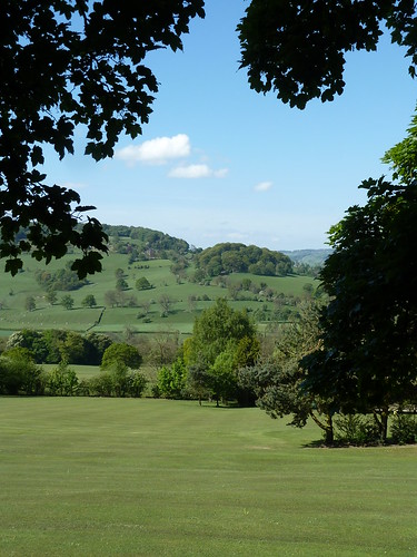
Darley Dale ~ Tinkersley ~ Rowsley

 Once we'd crossed the A6 we soon picked up the Derwent Valley Heritage Way to walk through Rowsley Sidings.
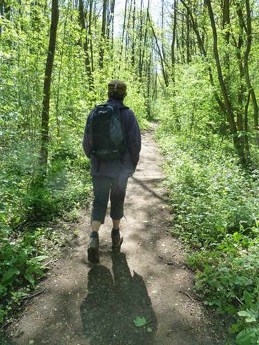
Darley Dale ~ Tinkersley ~ Rowsley

 This isn't a public footpath though it is part of a long distance route !

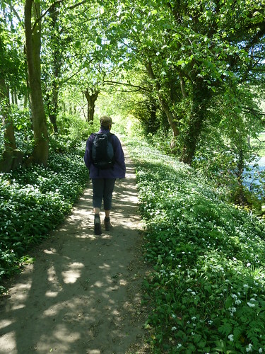
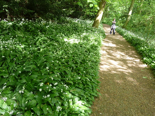
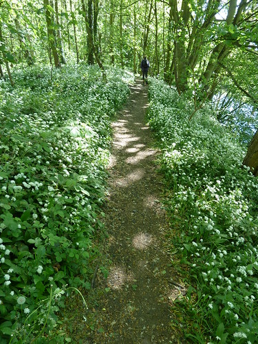
The path eventually runs alongside the River Derwent which you can see on the right below. The wild garlic was out when these photographs were taken.
Darley Dale ~ Tinkersley ~ Rowsley

Darley Dale ~ Tinkersley ~ Rowsley
  
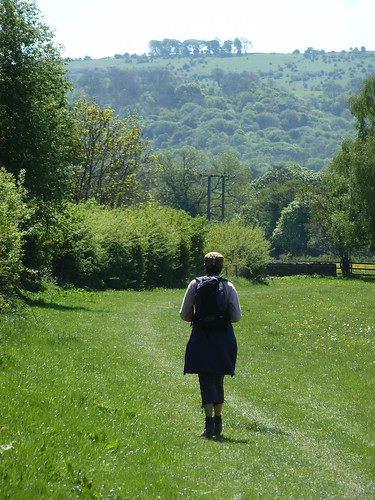
Beyond Peak Rail's Rowsley Station the path opens out as it passes through meadows towards Churchtown, Darley Dale. The Toothbrush, a narrow strip of trees atop Masson Hill can be seen on the horizon.
Darley Dale ~ Tinkersley ~ Rowsley

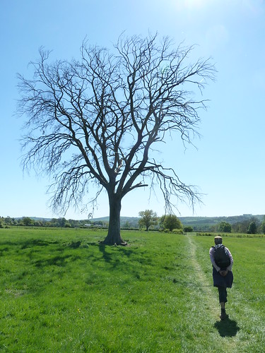
 A litle further on one tree was strangekly leafless ...
Darley Dale ~ Tinkersley ~ Rowsley

 Once we'd reached Churchtown we continued between the Whitworth Park and Peak Rail's railway line ...

 Darley Dale ~ Tinkersley ~ Rowsley 

... before heading home.
 
This walk was followed on the 2nd May 2011
 
Length of walk ~ 6.31 miles *
 
Total mileage walked so far in 2011 ~ 166.80 miles
 
Total mileage between the 1st September 2009 and the 1st May 2011 ~ 688.54 miles

  38 of 2011 [which means in 2011 I was averaging approximately 4.38 miles a walk.]
 
* distance calculated on Ordnance Survey's Getamap

Monday, 1 July 2013

Reservoir blog ...

I like reservoirs though I do wonder when the idea of creating three reservoirs to the west of Chesterfield was first proposed if there was any opposition. I suspect that the fact that Chesterfield's drinking water was going to be improved was always going to be the prime consideration in the late 19th century. Back then good drinking water wasn't something that was taken for granted.

The three reservoirs at Linacre are worth walking around and you can create a longer walk by taking in the village of Old Brampton to the south or Barlow and Millthorpe to the north.

You know me though. This is a stroll [or rather a short walk around the top two reservoirs].

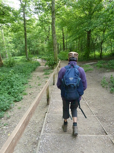
From the car park on the northern side of the man-made ponds we walked down the steps into the woodland ...

Linacre Reservoirs ...

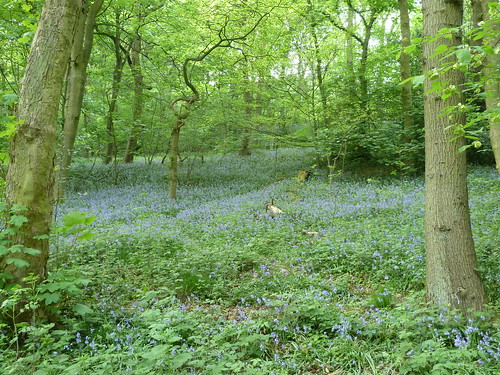
 The bluebells were starting to come out ...

Linacre Reservoirs ...

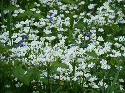
 ... and so were these rather lovely white flowers ...

Linacre Reservoirs ...

 They were quite small as you can tell from the odd bluebell in amongst them.

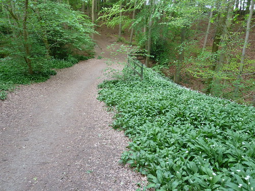
One of the features about Linacre is the lack of undergrowth in some areas due to the beech trees stretching their trunks high above the ground, hogging the sunlight for themselves ...

Linacre Reservoirs ...

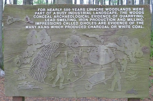
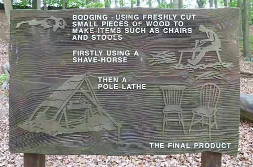
  Linacre has some great information panels !  Not for Linacre the usual photograph or colourful piece of artwork [which are fine] but more of a piece of craftsmanship. This one tells a little about Q holes and Linacre's industrial past ...

Linacre Reservoirs ...

  I had never heard of Q holes either.

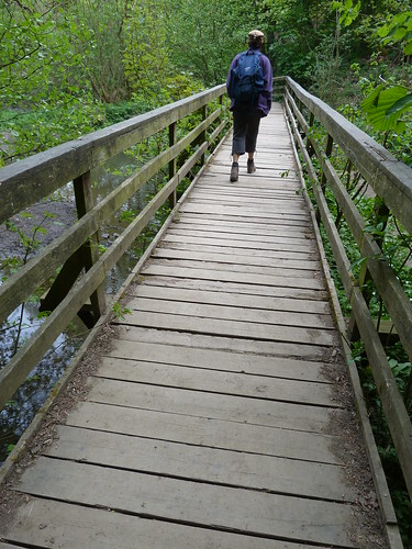
We walked up to the top reservoir ... known as Upper Reservoir ... and crossed the bridge over Birley Brook which feeds into the reservoir ...

Linacre Reservoirs ...

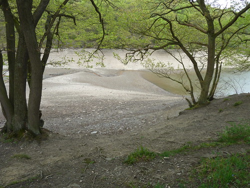
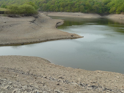
 Upper Reservoir needed topping up ...

Linacre Reservoirs ...

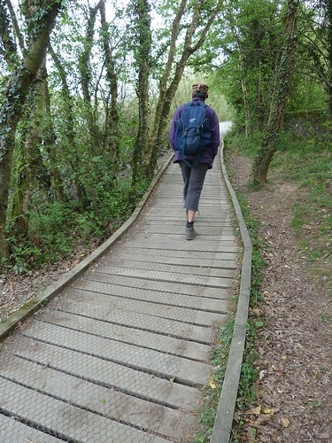
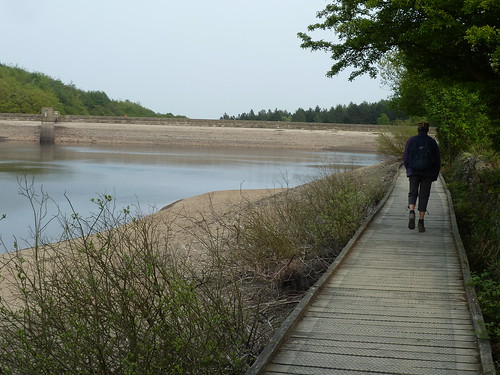
 A wooden walkway or duck boarding as I prefer to call it, runs along the southern side of Upper Reservoir ...

Linacre Reservoirs ...

Linacre Reservoirs ...

 The late afternoon sun made an appearance ...

Linacre Reservoirs ...

 A last photograph across the reservoir makes it quite clear about the low level of water ...

Linacre Reservoirs ...

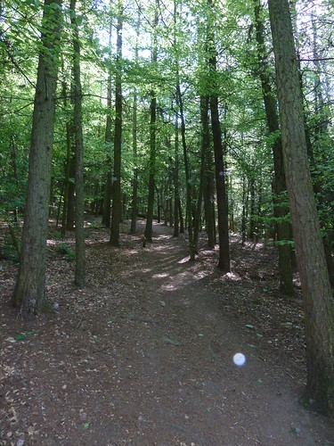
 Between Upper Reservoir and Middle Reservoir the path on the southern side moves away from water and into a plantation of trees ...

Linacre Reservoirs ...

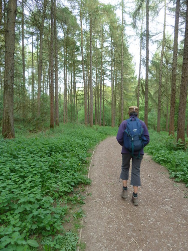
 ... before entering another woodland full of tall, thin beech trees ...

Linacre Reservoirs ...

 A second information panel explained what bodging was all about ...

Linacre Reservoirs ...

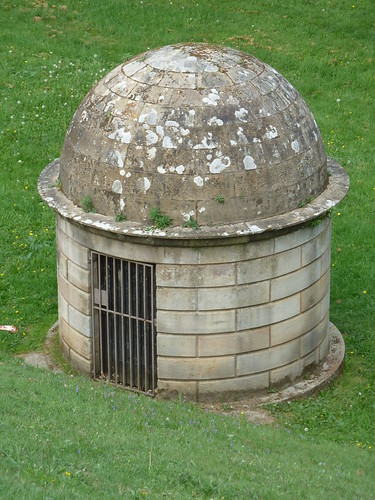
  I'm a fan of quirky little buildings so couldn't help but include this photograph which I assume is of an inspection chamber ...

Linacre Reservoirs ...

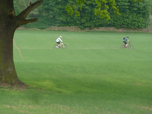
 We got back to the car just as a couple of mountain bikers rode across the middle of a field on a public footpath. Good job the farmer wasn't around ...

Linacre Reservoirs ...

According to a current Severn-Trent Water website the reservoirs "became non operational in 1995 and today they’re managed for visitors and wildlife and provide a popular local amenity".

This walk was followed on the 29th April 2011
 
Length of stroll ~ 2.07 miles *
 
Total mileage walked so far in 2011 ~ 152 miles
 
Total mileage between the 1st September 2009 and the 29th April 2011 ~ 680.05 miles

  35 of 2011 [which means in 2011 I was averaging approximately 4.30 miles a walk.]
 
* distance calculated on Ordnance Survey's Getamap
Saturday, 22 June 2013

The Rowthorne Trail and Lady Spencer's Wood ...

I think I was out on my fourth walk in four days ... back in April 2011 !

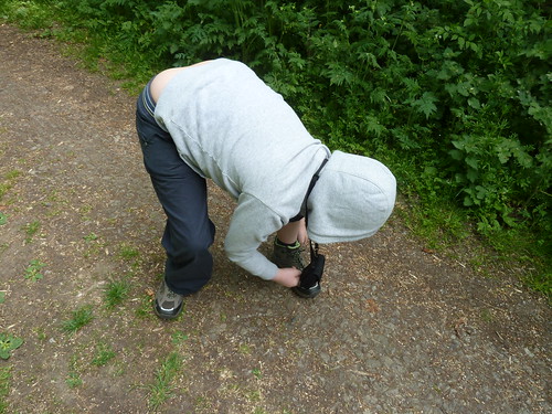
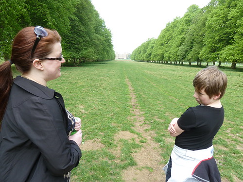
So, who was I out with ? Who's this ?

The Rowthorne Trail and Hardwick Hall ...

 It's my grandson ... with his mother !

The Rowthorne Trail and Hardwick Hall ...

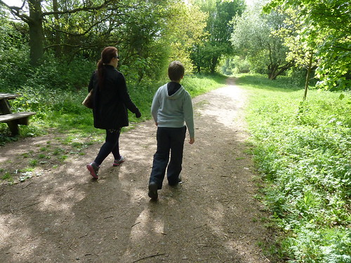
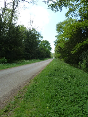
 I had told Katy that it would only be a stroll so we parked on the Rowthorne Trail not so very far from Hardwick Hall ... and set off in the sunshine ...

The Rowthorne Trail and Hardwick Hall ...

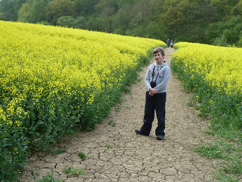
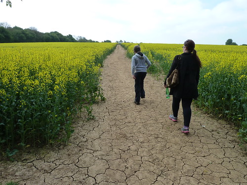
 We left the Trail and headed across a field of oil seed rape towards Norwood ...

The Rowthorne Trail and Hardwick Hall ...

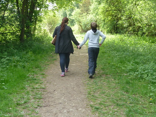
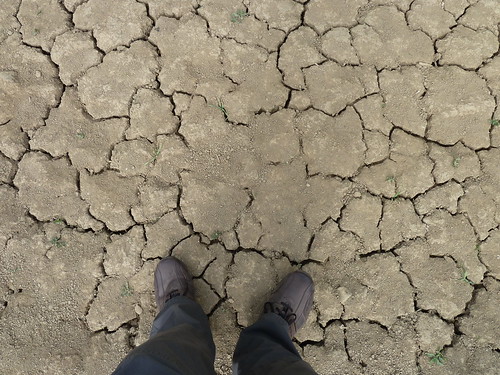
 The ground was very dry ...

The Rowthorne Trail and Hardwick Hall ...

 We entered Norwood ...

The Rowthorne Trail and Hardwick Hall ...

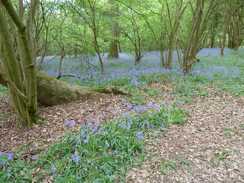
 The bluebells were in flower ...

The Rowthorne Trail and Hardwick Hall ...  

They grow quite a lot of oil seed rape in this area but at least the footpath across the large field leading to Norwood Lodge was clear ...

The Rowthorne Trail and Hardwick Hall ...  

There are three or four properties at Norwood Lodge but the path is easy enough to follow between the gardens ...

The Rowthorne Trail and Hardwick Hall ...

 We turned right along Newbound Lane and after a few hundred yards entered Lady Spencer's Wood owned by the National Trust ...

The Rowthorne Trail and Hardwick Hall ...

The Rowthorne Trail and Hardwick Hall ...

The Rowthorne Trail and Hardwick Hall ...  

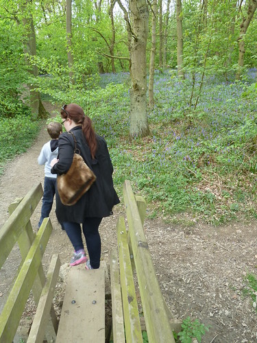
As you can imagine, with eleven year old Benjamin with us [as he was then] the walk was far from dull ...

The Rowthorne Trail and Hardwick Hall ...  

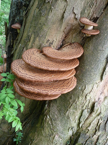
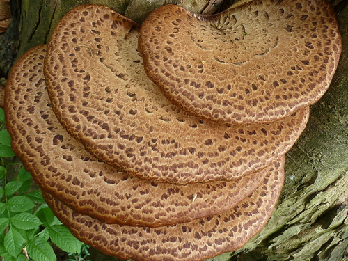
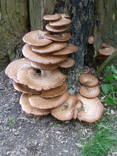
The next wood we passed through was Park Piece where there was a wonderful display of Dryad's Saddle ...

The Rowthorne Trail and Hardwick Hall ...

The Rowthorne Trail and Hardwick Hall ...   

The Rowthorne Trail and Hardwick Hall ...

 After leaving the wood and crossing a field we reached the driveway which led us away from the Hardwick Estate ... and back to the car.

The Rowthorne Trail and Hardwick Hall ...

This walk was followed on the 28th April 2011
 
Length of stroll ~ 2.84 miles *
 
Total mileage walked so far in 2011 ~ 149.93 miles
 
Total mileage between the 1st September 2009 and the 28th April 2011 ~ 677.98 miles

  34 of 2011 [which means in 2011 I was averaging just over 4.40 miles a walk.]
 
* distance calculated on Ordnance Survey's Getamap

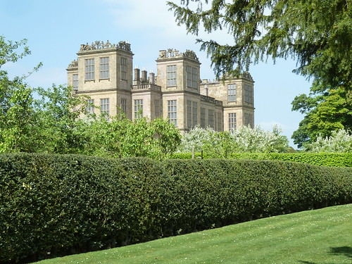
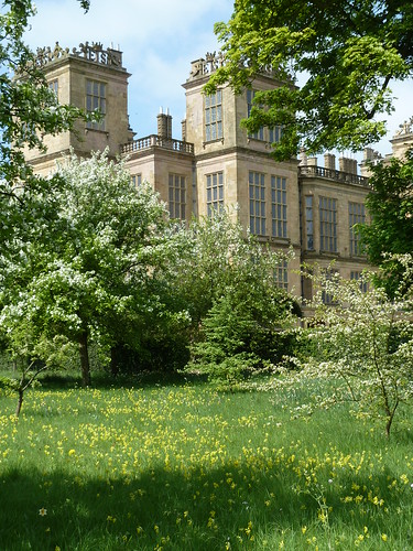
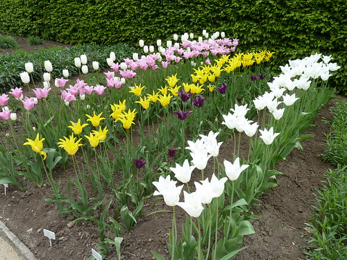
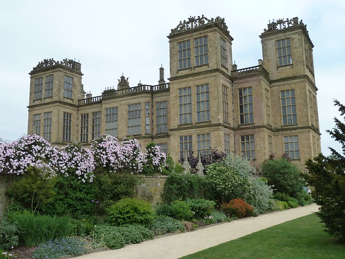
After the walk we went to Hardwick Hall ...

The Rowthorne Trail and Hardwick Hall ...

The Rowthorne Trail and Hardwick Hall ...

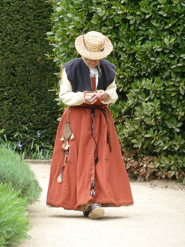
 This lady was dressed as a gardener of the time ...

The Rowthorne Trail and Hardwick Hall ...

 I often go to Hardwick just to look around the garden [as I did yesterday !] though all these photographs were taken a couple of years ago ...

The Rowthorne Trail and Hardwick Hall ...

 It is a marvellous place, well worth a visit.

The Rowthorne Trail and Hardwick Hall ...

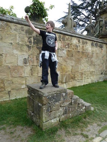
 We finish as we started with a photograph of Benjamin. I think he was just about to take flight off the mounting block ...

The Rowthorne Trail and Hardwick Hall ...