I like reservoirs though I do wonder when the idea of creating three reservoirs to the west of Chesterfield was first proposed if there was any opposition. I suspect that the fact that Chesterfield's drinking water was going to be improved was always going to be the prime consideration in the late 19th century. Back then good drinking water wasn't something that was taken for granted.
The three reservoirs at Linacre are worth walking around and you can create a longer walk by taking in the village of Old Brampton to the south or Barlow and Millthorpe to the north.
You know me though. This is a stroll [or rather a short walk around the top two reservoirs].
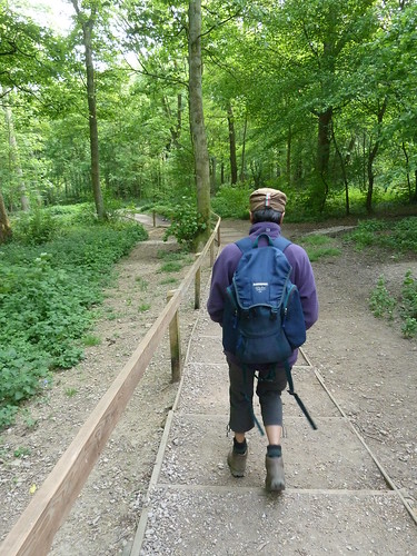
From the car park on the northern side of the man-made ponds we walked down the steps into the woodland ...
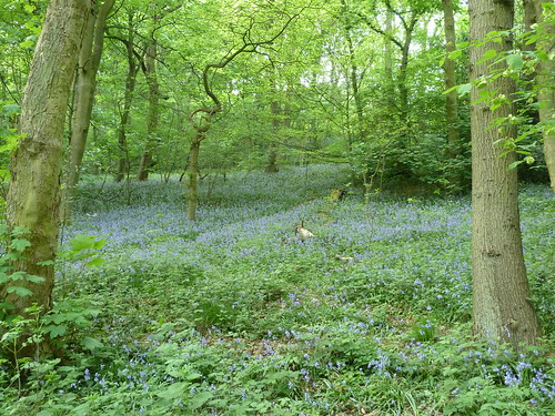
The bluebells were starting to come out ...
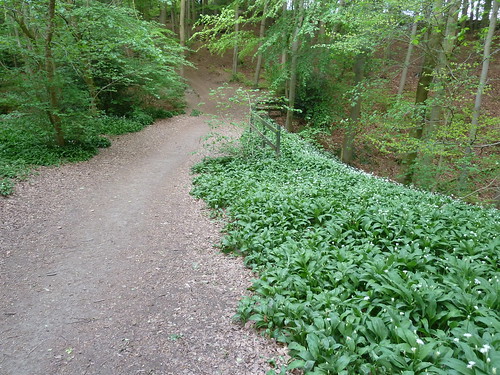
... and so were these rather lovely white flowers ...
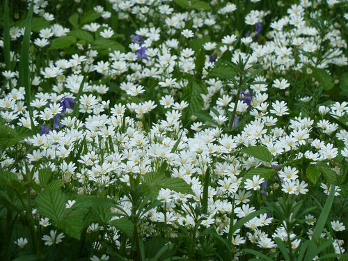
They were quite small as you can tell from the odd bluebell in amongst them.
One of the features about Linacre is the lack of undergrowth in some areas due to the beech trees stretching their trunks high above the ground, hogging the sunlight for themselves ...

Linacre has some great information panels ! Not for Linacre the usual photograph or colourful piece of artwork [which are fine] but more of a piece of craftsmanship. This one tells a little about Q holes and Linacre's industrial past ...
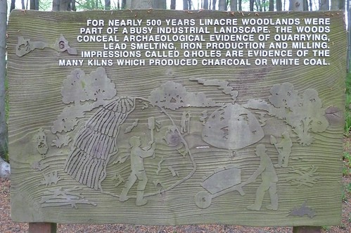
I had never heard of Q holes either.
We walked up to the top reservoir ... known as Upper Reservoir ... and crossed the bridge over Birley Brook which feeds into the reservoir ...
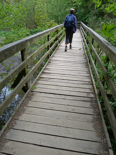
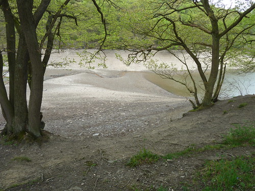
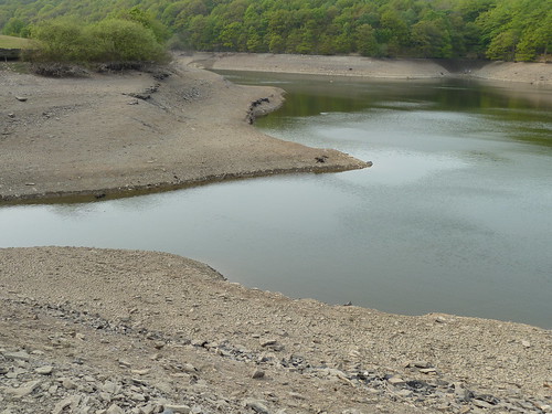
Upper Reservoir needed topping up ...
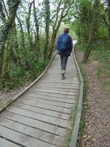
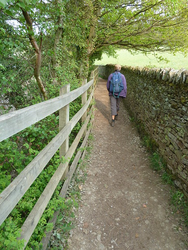
A wooden walkway or duck boarding as I prefer to call it, runs along the southern side of Upper Reservoir ...
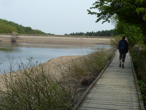
The late afternoon sun made an appearance ...
A last photograph across the reservoir makes it quite clear about the low level of water ...
Between Upper Reservoir and Middle Reservoir the path on the southern side moves away from water and into a plantation of trees ...
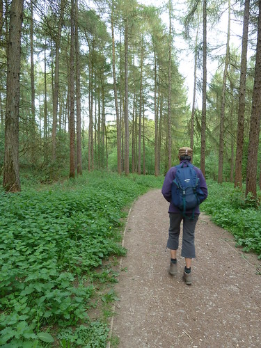
... before entering another woodland full of tall, thin beech trees ...
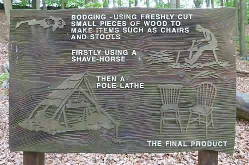
A second information panel explained what bodging was all about ...
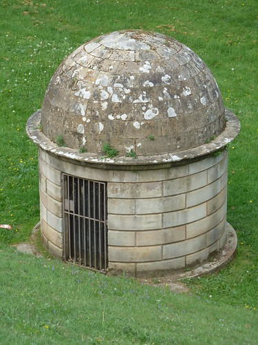
I'm a fan of quirky little buildings so couldn't help but include this photograph which I assume is of an inspection chamber ...
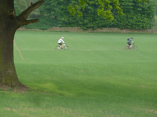
We got back to the car just as a couple of mountain bikers rode across the middle of a field on a public footpath. Good job the farmer wasn't around ...
According to a current Severn-Trent Water website the reservoirs "became non operational in 1995 and today they’re managed for visitors and wildlife and provide a popular local amenity".
This walk was followed on the 29th April 2011
Length of stroll ~ 2.07 miles *
Total mileage walked so far in 2011 ~ 152 miles
Total mileage between the 1st September 2009 and the 29th April 2011 ~ 680.05 miles
35 of 2011 [which means in 2011 I was averaging approximately 4.30 miles a walk.]
* distance calculated on Ordnance Survey's Getamap
