Showing posts with label Calton Lees. Show all posts

Wednesday, 12 June 2013

A Rowsley Round ...

A round [the way I use it here] means a circular walk. Most walks tend to be circular because you park your car and then you do a round trip to get back to the car ... 

I'm going to tell you about a walk from Rowsley, just along the road from Darley Dale.

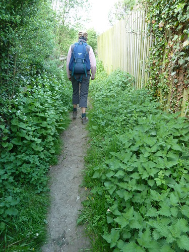
We parked in Rowsley, near [but not] in the Caudwell's Mill car park and walked through the Peak Village complex. Just beyond this a [sometimes overgrown] path leads towards the allotments ... 
Rowsley~Beeley~Calton Lees~Rowsley

The guy who used to keep this path cleared hasn't been up to working on these paths for the best part of three years now ...

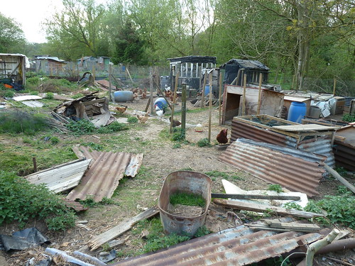
I mentioned the allotments. Well they're more chicken pens and it has to be said this is not the most scenic part of the walk.
Rowsley~Beeley~Calton Lees~Rowsley

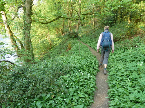
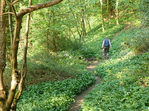
 The path soon improves though as you pick your way through the wild garlic which proliferate in Springtime ...
Rowsley~Beeley~Calton Lees~Rowsley  

Once you reach a road, turn left towards Beeley. Hopefully you won't have to step onto the road because there are cars parked on the pavement ...

Rowsley~Beeley~Calton Lees~Rowsley

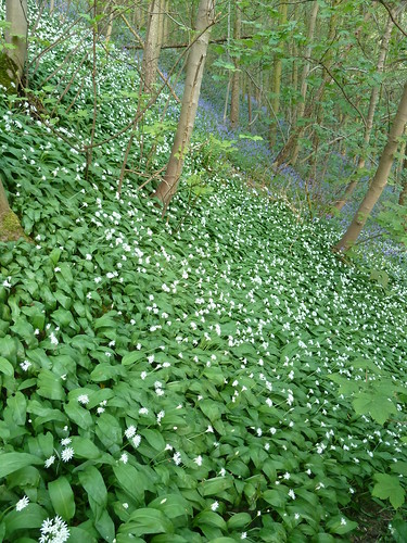
A little further along there's a path that clambers up the hillside above the delightfully named Smeltingmill Brook. More wild garlic ... but also some bluebells ...
Rowsley~Beeley~Calton Lees~Rowsley

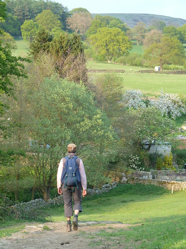
After passing through a number of smallish fields on the hillside we reached the outskirts of Beeley village ...

Rowsley~Beeley~Calton Lees~Rowsley

Rowsley~Beeley~Calton Lees~Rowsley

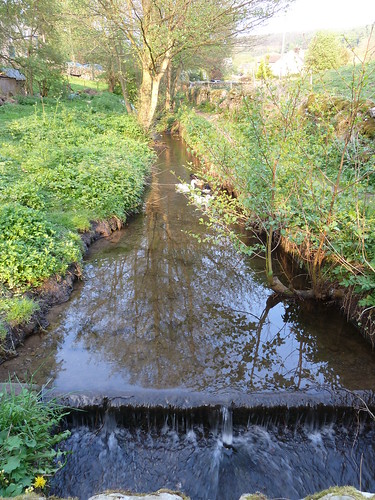
  We crossed Beeley Brook which runs downhill from Hell Bank Plantation ...
Rowsley~Beeley~Calton Lees~Rowsley

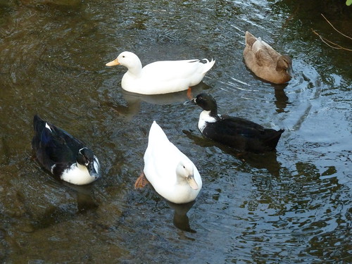
  Often where there's a brook ... there's a duck ...
Rowsley~Beeley~Calton Lees~Rowsley

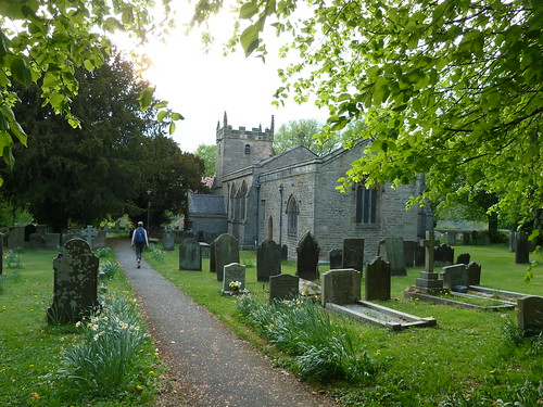
 We walked up to St. Anne's Church, parts of which date back to the 12th century though it seems to be largely Victorian ...
Rowsley~Beeley~Calton Lees~Rowsley

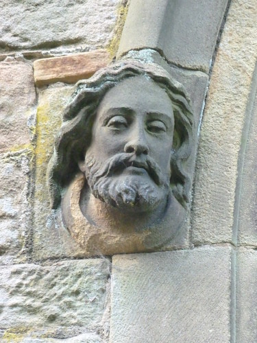
 There's a rather fine sculpture of a head at the doorway ...
Rowsley~Beeley~Calton Lees~Rowsley

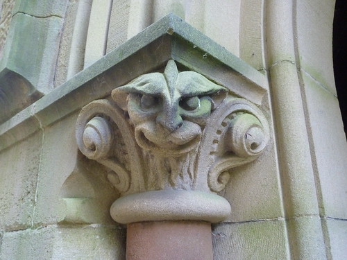
 Nearby, a rather sinister grotesque ...
Rowsley~Beeley~Calton Lees~Rowsley

 Do you know the difference between grotesques and gargoyles ? Well a gargoyle always carries water ... gargoyle coming from the French word gargouille, meaning throat or gullet. 

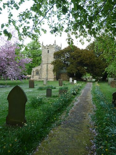
  The churchyard was pink in part, covered in flower petals ...

Rowsley~Beeley~Calton Lees~Rowsley

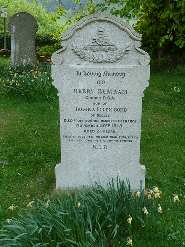
 For some reason the light coloured gravestone at the top of the photo above caught my eye ...
Rowsley~Beeley~Calton Lees~Rowsley

 Harry Bertram appears to have died nineteen days after the armistice was signed.

We left St. Anne's churchyard ...
Rowsley~Beeley~Calton Lees~Rowsley

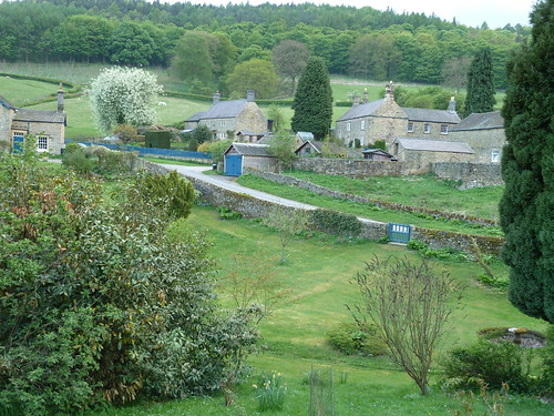
 We walked half a mile across the large field that lies between the Beeley/Chatsworth road and the River Derwent before rising up a small slope to reach the Chatsworth estate village of Calton Lees ...
Rowsley~Beeley~Calton Lees~Rowsley

 You can always tell a Chatsworth property in this area by the blue doors and gates.

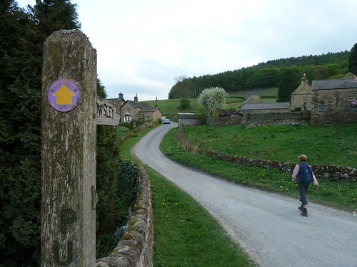
The Derwent Valley Heritage Way runs through Calton Lees so we decided to follow it back towards Rowsley ...
Rowsley~Beeley~Calton Lees~Rowsley  

Rowsley~Beeley~Calton Lees~Rowsley

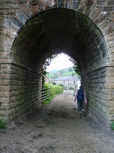
 We passed under the redundant railway bridge on the edge of Rowsley and were back at the start ...
Rowsley~Beeley~Calton Lees~Rowsley


This walk was followed on the 25th April 2011
 
Length of walk ~ 4.38 miles *
 
Total mileage walked so far in 2011 ~ 140.29 miles
 
Total mileage between the 1st September 2009 and the 25th April 2011 ~ 668.34 miles

  31 of 2011 [which means in 2011 I was still averaging just over 4.5 miles a walk.]
 
* distance calculated on Ordnance Survey's Getamap


Friday, 24 May 2013

Chatsworth under wraps ... and of staddle stones, toads and Dryad's Saddle.

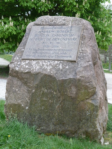
In the car park at Calton Lees there's a block of [what I hope is] Derbyshire stone in memory of the 11th Duke of Devonshire ...

Chatsworth and Rabbit Warren Edge ...

  The stone acknowledges his "wish that all should enjoy Chatsworth".

From the car park a short stretch of path leads to the bridge over the Derwent ...

Chatsworth and Rabbit Warren Edge ...

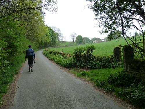
 Once you've walked along the short stretch of road beyond the bridge, whilst trying to avoid the traffic, you can bear left and follow the old lane that climbs steadily uphill to Beeley Hilltop ...

Chatsworth and Rabbit Warren Edge ...

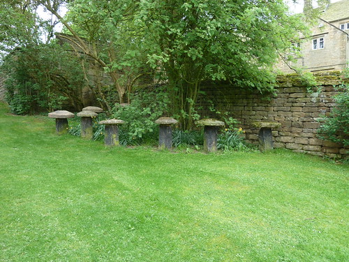
 Tucked against the wall of Beeley Hilltop [which paradoxically isn't at the top of the hill] are at least eight staddle stones. These were used as support for small barns or hayricks to keep the rats out ...

Chatsworth and Rabbit Warren Edge ...

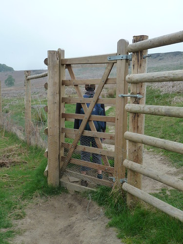
  A short distance beyond this old farmhouse we forked left following a concessionary which isn't marked on the OS Map in front of me ~ it's an old map ~ it might be on a newer one ... there was a tall gate that opened onto the moorland [to keep the deer in ... or out ?].

Chatsworth and Rabbit Warren Edge ...

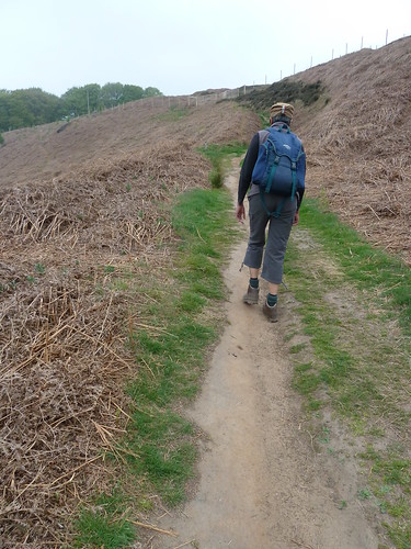
  The path beyond climbs up to Rabbit Warren Edge ...

Chatsworth and Rabbit Warren Edge ...

 I think I can say I have never seen a rabbit hereabouts. 

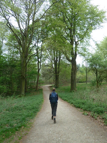
Once we'd negotiated the very high step stiles, we followed the gravel track through Bunker's Hill Wood ...

Chatsworth and Rabbit Warren Edge ...

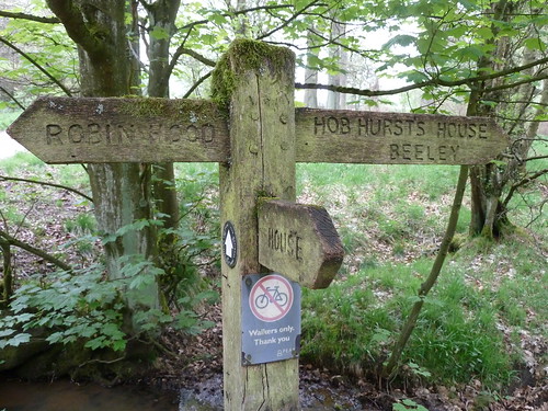
There are two Robin Hoods in Derbyshire, one ten or twelve miles away near Whatstandwell and the other one near Baslow on the far side of Chatsworth ...

Chatsworth and Rabbit Warren Edge ...

 We were aiming in the general direction of the latter. The track through the wood continued ...

Chatsworth and Rabbit Warren Edge ...

 We reached Swiss Lake ... and you can just make out Swiss Cottage on the far side in a couple of the photographs below ...

Chatsworth and Rabbit Warren Edge ...

Chatsworth and Rabbit Warren Edge ...

Chatsworth and Rabbit Warren Edge ...

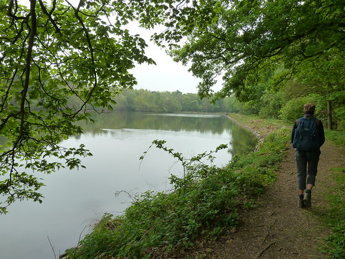
  The track we were on then leads to the Emperor Lake, so named as it provides the water for the Emperor Fountain in the gardens of Chatsworth House, far below. We walked around the edge of Emperor Lake ...

Chatsworth and Rabbit Warren Edge ...

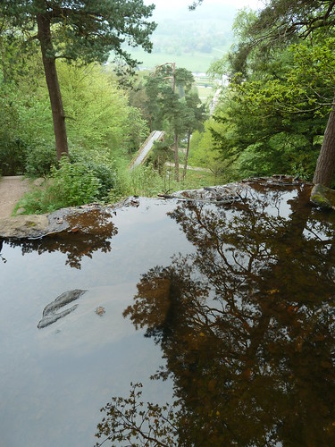
 I'd never been this way before and so was surprised to find that the path brought us out next to a pond overlooking the gardens ...

Chatsworth and Rabbit Warren Edge ...

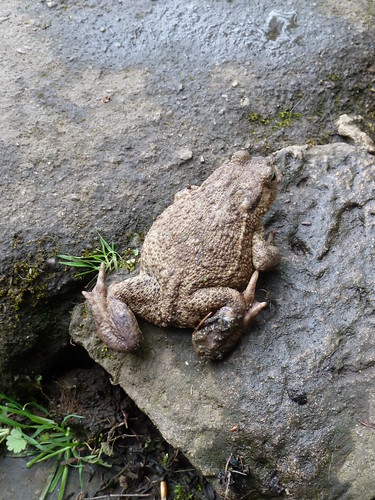
 As I stepped around the stones at the side of the pond, looking to get a better photo of the gardens below, I stopped just before taking the next step ...

Chatsworth and Rabbit Warren Edge ...

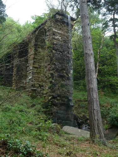
  I had to go down to a lower level to get a shot of the water falling off the end of the stone garden feature ...

Chatsworth and Rabbit Warren Edge ...

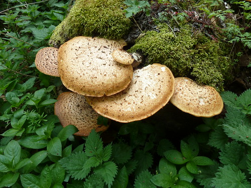
 A rotting tree stump provided a home for some Dryad's Saddle [Polyporus Squamosus] ...

Chatsworth and Rabbit Warren Edge ...
  
It seems these may be edible [but don't take my word for it] ... see here ...

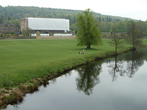
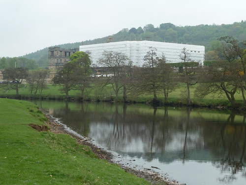
 A couple of years ago anyone making a special trip to see Chatsworth House would have been disappointed. Heck, we only live five miles away and we were ...

Chatsworth and Rabbit Warren Edge ...

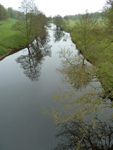
  We crossed the still waters of the River Derwent again ...

Chatsworth and Rabbit Warren Edge ...

 ... and got another view of Chatsworth House. There were two sides covered in sheeting !

Chatsworth and Rabbit Warren Edge ...

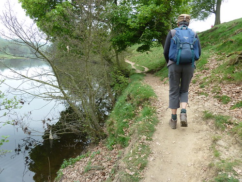
  The path sticks very close to the river in some places ...

Chatsworth and Rabbit Warren Edge ...

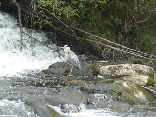
 The weir was really noisy ... you've been warned !


   I always enjoy watching herons ... usually they take off. 

Chatsworth and Rabbit Warren Edge ...

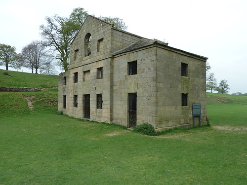
 We passed the old sawmill ...

Chatsworth and Rabbit Warren Edge ...

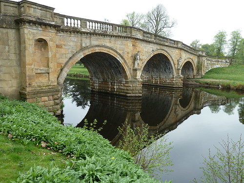
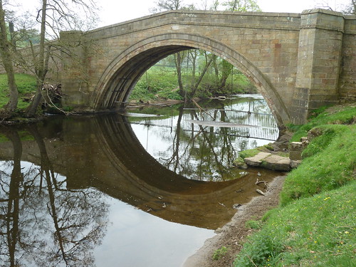
 ... and finished with a look at the road bridge we crossed a few hours earlier. I have always believed that the metal grille hanging below the bridge is to keep the deer in ...

Chatsworth and Rabbit Warren Edge ...

 This walk was followed on the 24th April 2011
 
Length of walk ~ 4.86 miles *
 
Total mileage walked so far in 2011 ~ 135.91 miles
 
Total mileage between the 1st September 2009 and the 24th April 2011 ~ 663.96 miles

  30 of 2011 [which means in 2011 I was averaging just over 4.5 miles a walk.]
 
* distance calculated on Ordnance Survey's Getamap