Showing posts with label Rowsley. Show all posts

Wednesday, 12 June 2013

A Rowsley Round ...

A round [the way I use it here] means a circular walk. Most walks tend to be circular because you park your car and then you do a round trip to get back to the car ... 

I'm going to tell you about a walk from Rowsley, just along the road from Darley Dale.

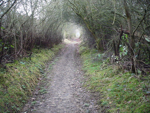
We parked in Rowsley, near [but not] in the Caudwell's Mill car park and walked through the Peak Village complex. Just beyond this a [sometimes overgrown] path leads towards the allotments ... 

Rowsley~Beeley~Calton Lees~Rowsley

The guy who used to keep this path cleared hasn't been up to working on these paths for the best part of three years now ...

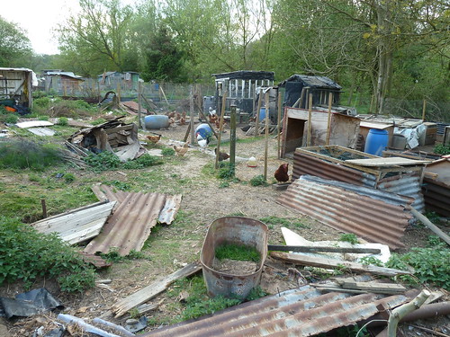
I mentioned the allotments. Well they're more chicken pens and it has to be said this is not the most scenic part of the walk.
Rowsley~Beeley~Calton Lees~Rowsley

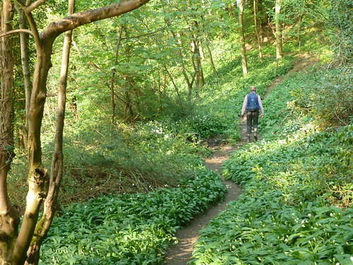
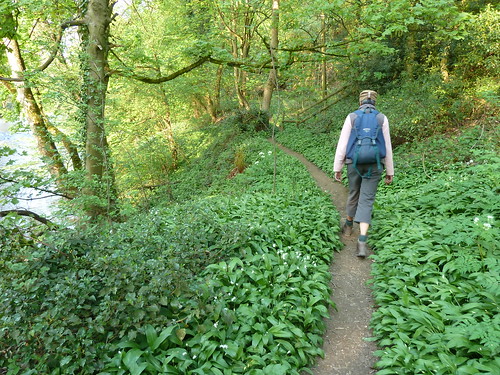
 The path soon improves though as you pick your way through the wild garlic which proliferate in Springtime ...
Rowsley~Beeley~Calton Lees~Rowsley  

Once you reach a road, turn left towards Beeley. Hopefully you won't have to step onto the road because there are cars parked on the pavement ...

Rowsley~Beeley~Calton Lees~Rowsley

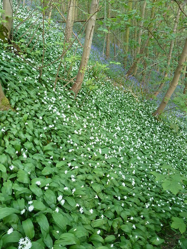
A little further along there's a path that clambers up the hillside above the delightfully named Smeltingmill Brook. More wild garlic ... but also some bluebells ...
Rowsley~Beeley~Calton Lees~Rowsley

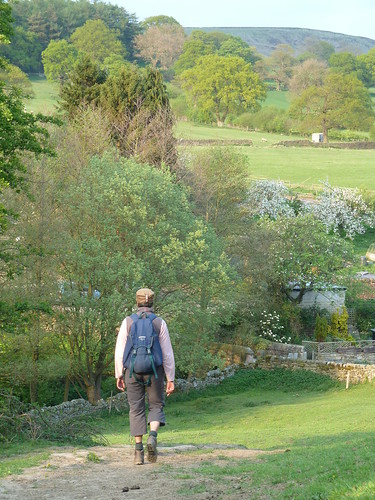
After passing through a number of smallish fields on the hillside we reached the outskirts of Beeley village ...

Rowsley~Beeley~Calton Lees~Rowsley

Rowsley~Beeley~Calton Lees~Rowsley

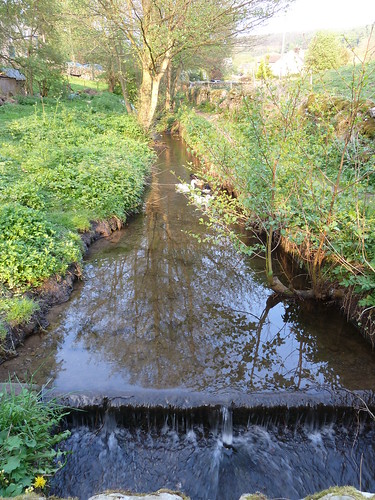
  We crossed Beeley Brook which runs downhill from Hell Bank Plantation ...
Rowsley~Beeley~Calton Lees~Rowsley

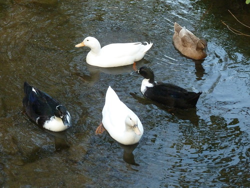
  Often where there's a brook ... there's a duck ...
Rowsley~Beeley~Calton Lees~Rowsley

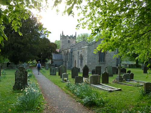
 We walked up to St. Anne's Church, parts of which date back to the 12th century though it seems to be largely Victorian ...
Rowsley~Beeley~Calton Lees~Rowsley

 There's a rather fine sculpture of a head at the doorway ...
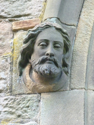
Rowsley~Beeley~Calton Lees~Rowsley

 Nearby, a rather sinister grotesque ...
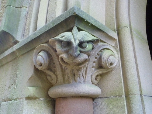
Rowsley~Beeley~Calton Lees~Rowsley

 Do you know the difference between grotesques and gargoyles ? Well a gargoyle always carries water ... gargoyle coming from the French word gargouille, meaning throat or gullet. 

  The churchyard was pink in part, covered in flower petals ...

Rowsley~Beeley~Calton Lees~Rowsley

 For some reason the light coloured gravestone at the top of the photo above caught my eye ...
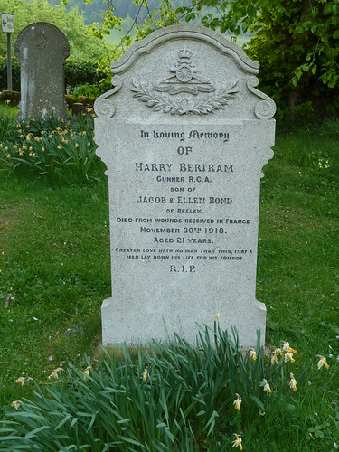
Rowsley~Beeley~Calton Lees~Rowsley

 Harry Bertram appears to have died nineteen days after the armistice was signed.

We left St. Anne's churchyard ...
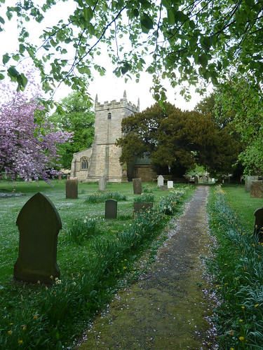
Rowsley~Beeley~Calton Lees~Rowsley

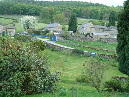
 We walked half a mile across the large field that lies between the Beeley/Chatsworth road and the River Derwent before rising up a small slope to reach the Chatsworth estate village of Calton Lees ...
Rowsley~Beeley~Calton Lees~Rowsley

 You can always tell a Chatsworth property in this area by the blue doors and gates.

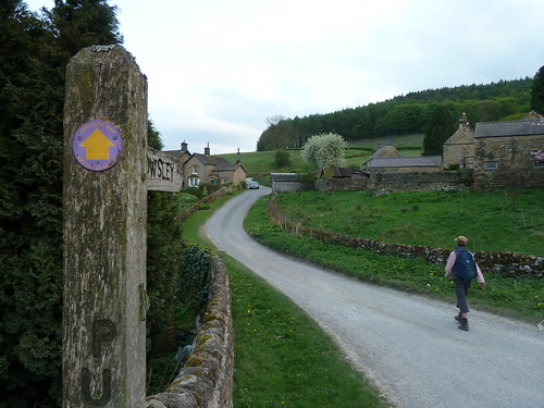
The Derwent Valley Heritage Way runs through Calton Lees so we decided to follow it back towards Rowsley ...
Rowsley~Beeley~Calton Lees~Rowsley  

Rowsley~Beeley~Calton Lees~Rowsley

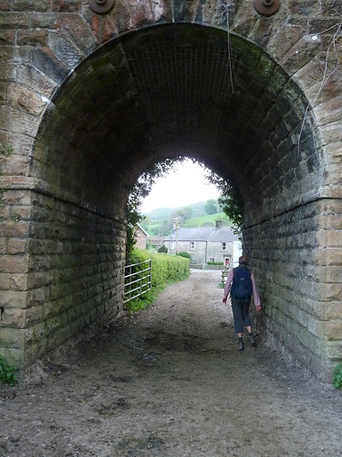
 We passed under the redundant railway bridge on the edge of Rowsley and were back at the start ...
Rowsley~Beeley~Calton Lees~Rowsley


This walk was followed on the 25th April 2011
 
Length of walk ~ 4.38 miles *
 
Total mileage walked so far in 2011 ~ 140.29 miles
 
Total mileage between the 1st September 2009 and the 25th April 2011 ~ 668.34 miles

  31 of 2011 [which means in 2011 I was still averaging just over 4.5 miles a walk.]
 
* distance calculated on Ordnance Survey's Getamap


Sunday, 27 January 2013

Holly Wood, a melanic deer ... and the Duke of York Stone.

There are a number of places you can park in Rowsley ... though don't use the Caudwell Mill car park. Only patrons can park there !
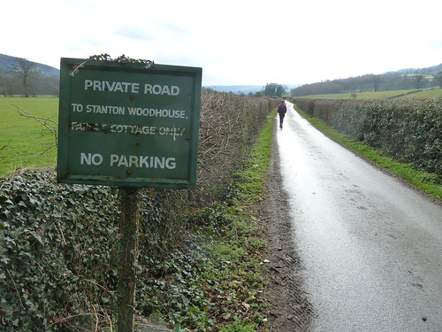
From the village, on the western side of the River Derwent, a footpath follows a 'private road' towards Stanton Woodhouse ...

Rowsley~Holly Wood~Nine Ladies Stone Circle~Peak Tor  

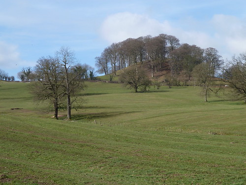
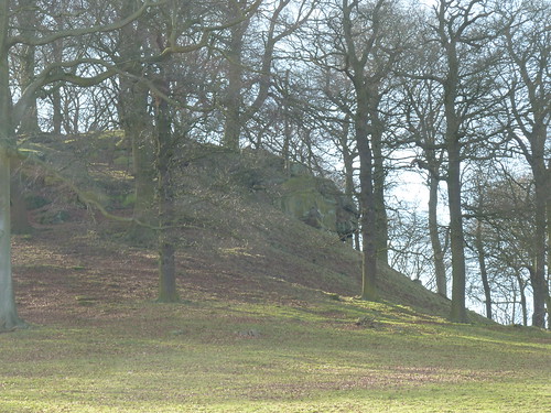
This path gives a great view of Peak Tor on the right ...

Rowsley~Holly Wood~Nine Ladies Stone Circle~Peak Tor  

On the other side of the tor are some earthworks but nothing is particularly obvious on this side.

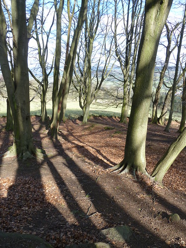
A little further on the path passes through Holly Wood ...

Rowsley~Holly Wood~Nine Ladies Stone Circle~Peak Tor  

Since this photo was taken the mature but untidy trees in the wood have been felled and the ground replanted.

We were getting near to Stanton Woodhouse now ...

Rowsley~Holly Wood~Nine Ladies Stone Circle~Peak Tor

Rowsley~Holly Wood~Nine Ladies Stone Circle~Peak Tor  

Stanton Woodhouse is a farm and a couple [perhaps three] houses, though it's hard to tell.

We passed through without incident though I did once have an encounter with a gentleman who obviously thought he was someone special the way he spoke to me. I was explaining that the map wasn't very clear as to where the path went at the time. We parted on less than friendly terms.

On the far side of the houses we climbed up through the fields ...

Rowsley~Holly Wood~Nine Ladies Stone Circle~Peak Tor

Looking back you get a good view of the Derwent valley ...

Rowsley~Holly Wood~Nine Ladies Stone Circle~Peak Tor  

We passed disused Endcliffe Quarry and turned right along the lane towards Stanton-in-Peak and Pilhough ...

Rowsley~Holly Wood~Nine Ladies Stone Circle~Peak Tor

Where the lane forked, we took the left fork for Stanton-in-Peak, and heard something rummaging in the trees on our left. 

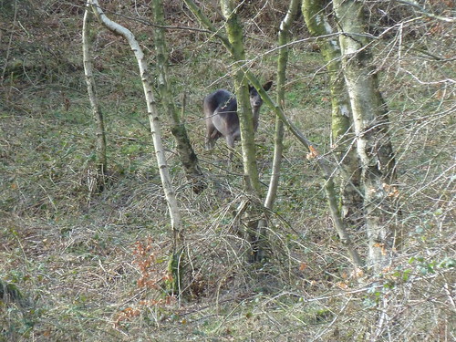
It was a melanic fallow deer ...

Rowsley~Holly Wood~Nine Ladies Stone Circle~Peak Tor 

There's a whole herd of them in this area. The story goes that they escaped from nearby Stanton Hall some years ago and now wander around the area. I once saw five or six of them in the mist jumping a wall on Bonsall Moor, not far from Slaley. [This won't mean a lot to some of you but to local people it might ...]

We took the first path on the left that leads to Stanton Moor and which passes through a wood on its way. 

Rowsley~Holly Wood~Nine Ladies Stone Circle~Peak Tor

Rowsley~Holly Wood~Nine Ladies Stone Circle~Peak Tor

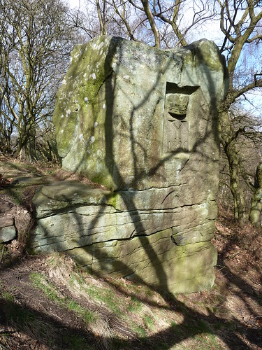
To the left of the path, where it levels out, there's a large rock [there may be more than one] and on the far side there's an impressive stone carving ...

Rowsley~Holly Wood~Nine Ladies Stone Circle~Peak Tor  

As I say the path is to the left of the rock in the photo above. When you get close to the carving you can see it's a fine piece of work but at the time of the walk I had no idea as to its significance ...

Rowsley~Holly Wood~Nine Ladies Stone Circle~Peak Tor

 A 'Y' and the date '1826' below a crown ... well just this afternoon, after some scrambling around on the internet, I've discovered that it is known as the Duke of York Stone.
  
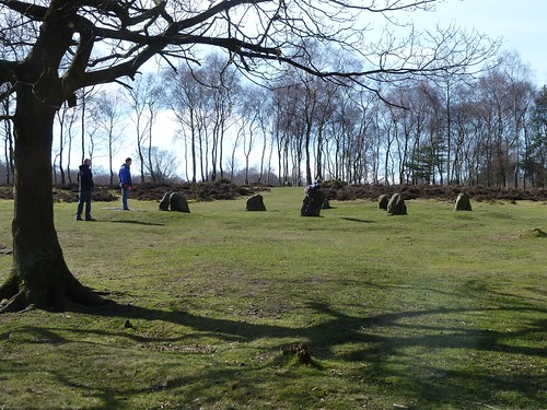
On reaching the Nine Ladies stone circle ...

Rowsley~Holly Wood~Nine Ladies Stone Circle~Peak Tor of

... we turned sharp right and headed back towards the lane we'd left a little earlier. On the opposite of the lane a concessionary path leads towards Pilhough ...

Rowsley~Holly Wood~Nine Ladies Stone Circle~Peak Tor

Rowsley~Holly Wood~Nine Ladies Stone Circle~Peak Tor

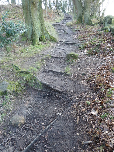
Though a concessionary path it was obviously well used ...

Rowsley~Holly Wood~Nine Ladies Stone Circle~Peak Tor  

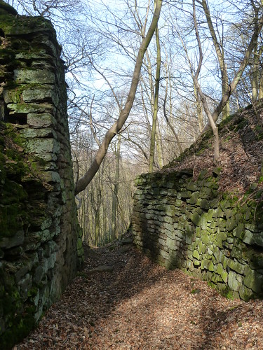
We reached a couple of walls which looked more like the entrance to an ancient stone fort than a quarry ...

Rowsley~Holly Wood~Nine Ladies Stone Circle~Peak Tor

We descended the hill away from the disused quarry ...

Rowsley~Holly Wood~Nine Ladies Stone Circle~Peak Tor  

and reached Pilhough. 'Pilhough' according to Louis McMeeken's enlightening Place Names of the Peak District means "place where the oats were grown".

From Pilhough you can get another view of Peak Tor, from above ...

Rowsley~Holly Wood~Nine Ladies Stone Circle~Peak Tor

From the lane between Pilhough and Rowsley we could see the houses of Northwood ...

Rowsley~Holly Wood~Nine Ladies Stone Circle~Peak Tor  

We had our last look at Peak Tor from this lane too ...

Rowsley~Holly Wood~Nine Ladies Stone Circle~Peak Tor  

This walk was followed on the 13th March 2011
 
Length of walk ~ 4.15 miles *
 
Total mileage walked so far in 2011 ~ 54.25 miles
 
Total mileage between the 1st September 2009 and the 13th March 2011 ~ 582.30 miles
 
14 of 2011
 
* distance calculated on Ordnance Survey's Getamap
 

Monday, 13 August 2012

Headless chicken ...

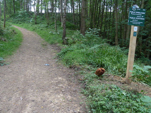
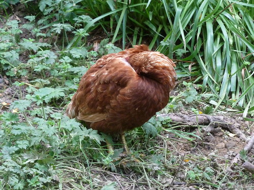
Whilst walking up out of Rowsley yesterday towards Fallinge we noticed a bird beside the footpath signpost ...


Surely it would move as we stood there and talked about it. It didn't ...

Surely it would move when I walked right past it to take a photo of the signpost ? It didn't ...

We left it alone and surmised that it was ill. Hopefully there would be no loose dogs in the area later in the day.

P1130794

Thursday, 11 March 2010

Rowsley and Beeley ~ a new walk for Teashop Walks in the Peak District.

With the teashops at Elton and Youlgreave closing since the original book came out five years ago I had to find some replacements nearby. Not surprisingly I plumped for Caudwells Mill and so had to plan a walk from Rowsley.

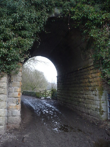
From the Peacock I walked up Church Lane and took the muddy, messy path that passes under what used to be the railway line running up to Buxton ...

Rowsley and Beeley ~ 29th December 2009

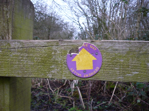
   Picking my way through the mud and slurry [I'm avoiding a particular word for those who are faint of heart] things got better as I got further away from Rowsley. A vandalised waymark reminded me that I was following the Derwent Valley Heritage Way ...

Rowsley and Beeley ~ 29th December 2009

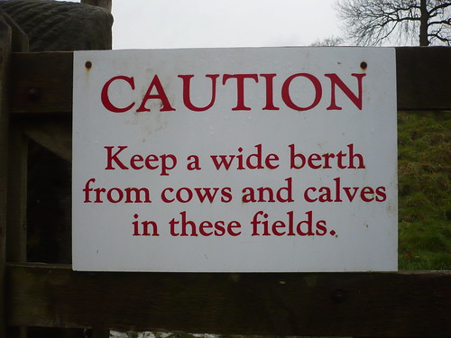
 When I got to Calton Lees, a Chatsworth Estate village, I noticed this sign on a gate I passed through. I had seen no cows or calves though ...

Rowsley and Beeley ~ 29th December 2009

 It might put some people off I would have thought.

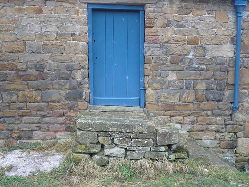
I was then in the Chatsworth Estate village of Calton Lees. You can always tell which houses are owned by Chatsworth as they are painted this colour blue ...

Rowsley and Beeley ~ 29th December 2009

Once I'd got past the garden centre and crossed the old stone bridge I walked across the large field towards Beeley.

Rowsley and Beeley ~ 29th December 2009


  Further on in the field [it's a big field] I passed these old Derwent Valley Water Board features. I assume they are for inspection purposes or perhaps to let out any gases ?

Rowsley and Beeley ~ 29th December 2009

I looked back towards Chatsworth ...

Rowsley and Beeley ~ 29th December 2009

... I said it was a big field. 

After crossing the road I walked through the churchyard in Beeley. I've never been in the church here and hardly in the churchyard ...

Rowsley and Beeley ~ 29th December 2009

In Beeley there's a strange, stone structure that baffles me. I half thought they might have been stocks but I don't really think so.

Any ideas ? 

Rowsley and Beeley ~ 29th December 2009

From Beeley I headed across the fields towards Rowsley, crossing this footpath that runs uphill towards Burntwood quarry as I went.

Rowsley and Beeley ~ 29th December 2009

Date of walk ~ 29th December 2009

Length of walk ~ 4 1/4 miles

Total since 1st September 2009 ~ 122 miles