Showing posts with label Win Hill. Show all posts

Monday, 21 January 2013

Benjamin and I head to Grindleford ...

I need to catch up with my walking blogs ...

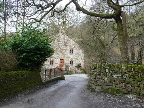
So back to early 2011 and Benjamin and I drove ten miles or so up the Derwent Valley to Grindleford Station. We resisted the temptation to have a bacon butty at the cafe and walked along the path leading to Padley Mill ...

A walk between Grindleford and Hathersage ...

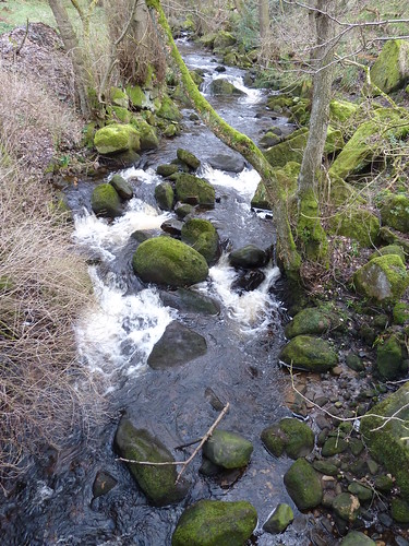
Before that though we had to cross the bridge over Burbage Brook ...
A walk between Grindleford and Hathersage ...  

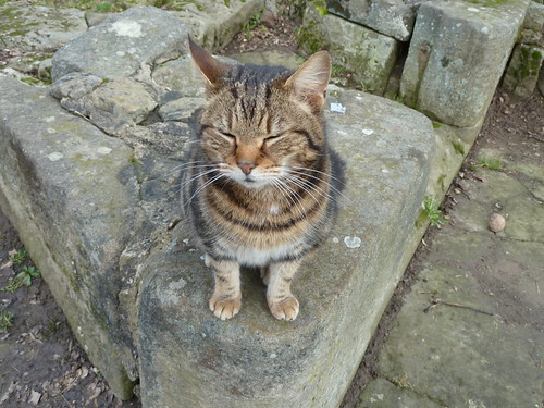
As we got near to Padley Chapel one of the locals came out to make my acquaintance ...

A walk between Grindleford and Hathersage ...

My new found friend then took me for a tour of the old stones of Padley Manor behind Padley Chapel ...
A walk between Grindleford and Hathersage ...

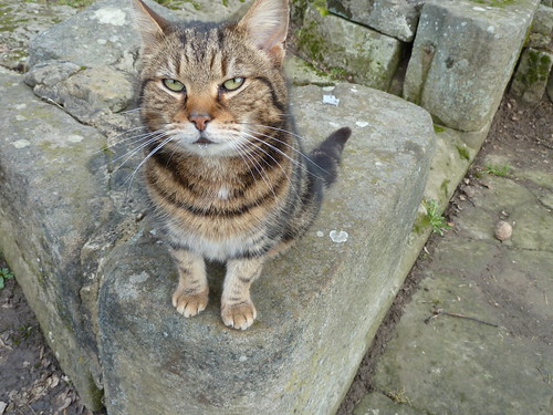
He [or is it she] even opened his eyes ...
A walk between Grindleford and Hathersage ...  

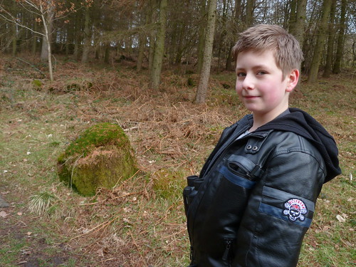
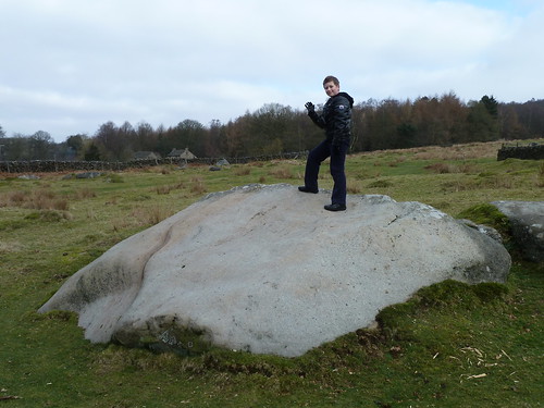
As soon as we'd got past the last of the houses Benjamin started clambering on some of the large rocks ...
A walk between Grindleford and Hathersage ...  

We left the main and more popular path here and walked through Rough Wood ...

A walk between Grindleford and Hathersage ...

A walk between Grindleford and Hathersage ...

A walk between Grindleford and Hathersage ...

Near Kettle House the view opens out towards Hathersage with Win Hill rising beyond ...
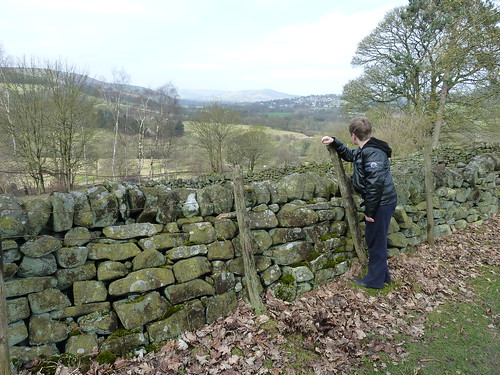
A walk between Grindleford and Hathersage ...

We passed under the railway line ...
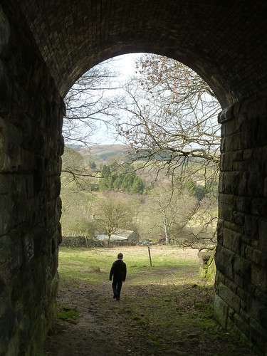
A walk between Grindleford and Hathersage ...

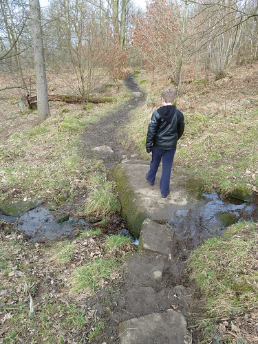
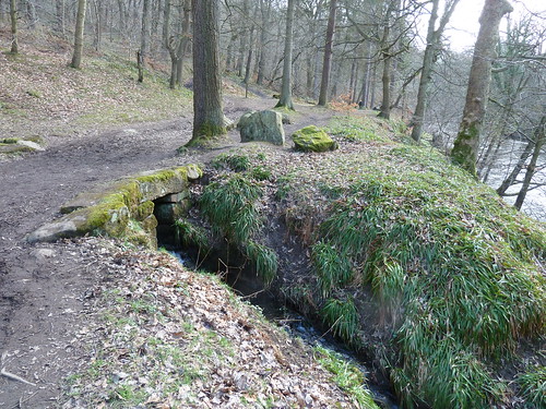
Just beyond a watercourse pours out of the hillside ...

A walk between Grindleford and Hathersage ...  

One of the great things about walking with your grandson is that you realise you've probably become a bit jaded in your outlook. I see old carved stones and wonder where they came from ... Benjamin sees them as a something to jump from ...

A walk between Grindleford and Hathersage ...  

I've asked it before and I may ask it again, where are these stones from ? The stones that lie on the ground near Harper Lees ...

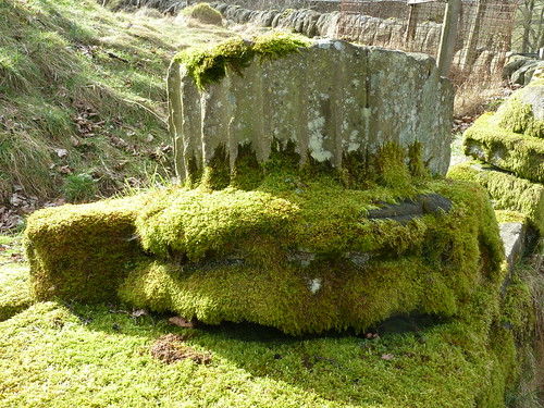
A walk between Grindleford and Hathersage ...

 A walk between Grindleford and Hathersage ... 

As we left the stones behind to follow the River Derwent southwards I looked back towards Harper Lees and Hathersage ...
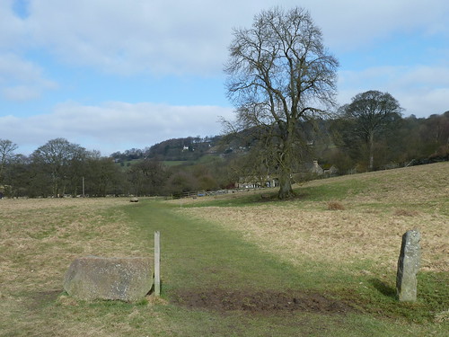
A walk between Grindleford and Hathersage ...  

The spring sunshine sparkled on the River Derwent as we walked south ...

A walk between Grindleford and Hathersage ...

... into the wood ...

A walk between Grindleford and Hathersage ...  

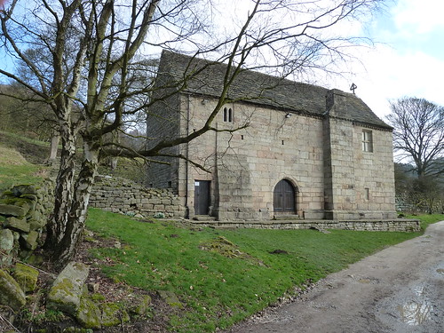
Part way through the wood we forked left uphill to retrace our steps back to the car. On the way we passed Padley Chapel. No cat this time ...
A walk between Grindleford and Hathersage ...


Could those old stones a mile or so away come from Padley Manor, the ruins behind the chapel shown above ?

This walk was followed on the 6th March 2011
 
Length of walk ~ 3.13 miles *
 
Total mileage walked so far in 2011 ~ 50.1 miles
 
Total mileage between the 1st September 2009 and the 6th March 2011 ~ 578.15 miles
 
13 of 2011
 
* distance calculated on Ordnance Survey's Getamap
 

Sunday, 28 October 2012

A walk on the Derwent Valley Heritage Way ...

The Derwent Valley Heritage Way is a 55 mile walk from Heatherdene [a car park at the southern tip of Ladybower Reservoir] all the way down the Derwent valley to Derwent Mouth [where the River Derwent flows into the River Trent].

It's a varied walk full of interest though some may say that the scenery becomes slightly less appealing the further south you go ... see what you think in the series of blogs to come.

I started off following the route on the 9th January 2011, nearly two years ago ... and I still haven't finished it, though I haven't got that much more to do. That's the way of things for me I'm afraid.

I started off from Severn-Trent's Heatherdene car park where an impressive carved wooden seat sits outside their toilet block ...

A first day on the Derwent Valley Heritage Way ...

I soon saw my first waymark ! How many more of these would I see I wonder ?

A first day on the Derwent Valley Heritage Way ...  

At the southern end of the path that stretches away from the car park I crossed the A6013 and leaned over the wall to see how much water was flowing into the Ladybower overflow that day ...

A first day on the Derwent Valley Heritage Way ...

We can all see that there was none.

After crossing the reservoir we turned south and soon picked up the old railway line that is now the Thornhill Trail ...

A first day on the Derwent Valley Heritage Way ...

A first day on the Derwent Valley Heritage Way ...

There were some good views across the valley towards Bamford Edge on the far side ...

A first day on the Derwent Valley Heritage Way ...

At the southern end of the Thornhill Trail, beside a Quaker Meeting House ...

A first day on the Derwent Valley Heritage Way ...


... we noticed some community gardens !

A first day on the Derwent Valley Heritage Way ...

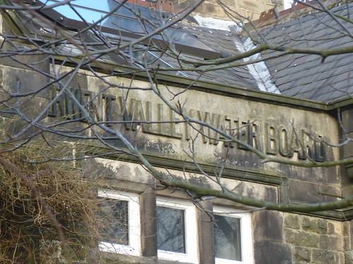
The stonework over the entrance to the Meeting House indicates that it was once a meeting house for something very different ...

A first day on the Derwent Valley Heritage Way ...

... the Derwent Valley Water Board.

In fact it seems that although the building is used for Quaker Meetings there is a Quaker Community there too.

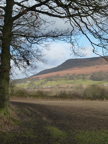
Even though we were moving away from it, we still had some great views of Bamford Edge ...

A first day on the Derwent Valley Heritage Way ...

After walking on the edge of a couple of fields we passed under the railway line ...

A first day on the Derwent Valley Heritage Way ...

... and walked through the grounds of High Peak Garden Centre to reach the A6187. 

We turned left along this road and left the Derwent Valley Heritage Way to walk south-east along the Mytham Bridge road to reach the main road near Bamford railway station. Here we walked up through the village of Bamford itself. 

Have I mentioned that my walks are sometimes not like other people's ? This may be because other walkers probably don't use as many roads and lanes as me. Ah well ... we love looking at other people's houses [we really do].


 We left the main road near the top of the village [somwhere between the two pubs] and walked up what is shown as Bamford Clough and Leeside Road on my OS Dark Peak Map and The Clough on Google Maps. 

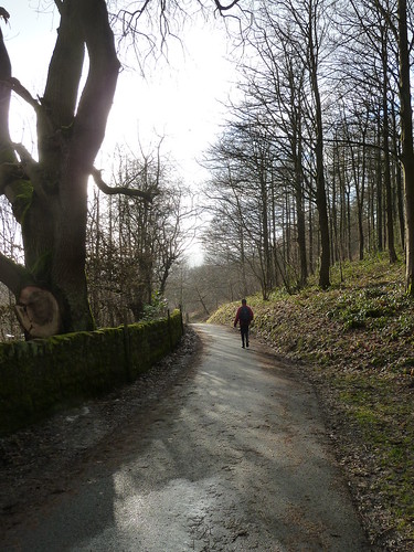
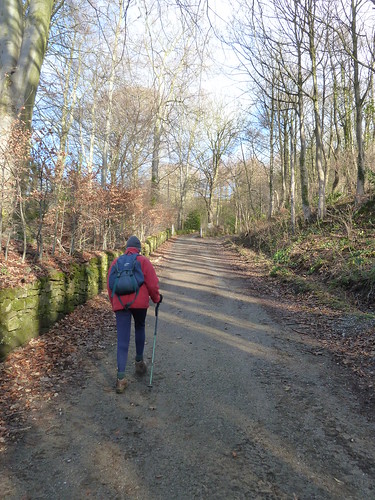
I did say that we "walked up what is shown as Bamford Clough" didn't I. Well initially it was a gentle enough climb ...

A first day on the Derwent Valley Heritage Way ...

... though I think you can see from the photo above that it was pretty steep. 

It got steeper ... and rougher ...

A first day on the Derwent Valley Heritage Way ...

In fact, it got even steeper and rougher ... and slippery too ...

A first day on the Derwent Valley Heritage Way ...

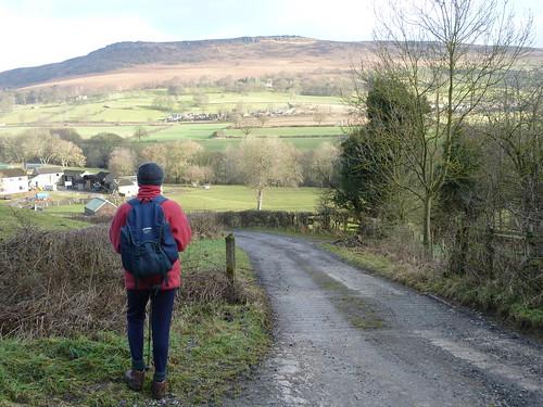
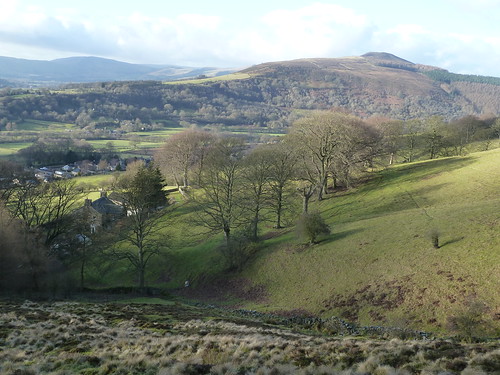
We were glad to take a few breaks to admire the view towards Win Hill ...

A first day on the Derwent Valley Heritage Way ...

Then the track [which is in fact a road] got bumpy too ...

A first day on the Derwent Valley Heritage Way ...

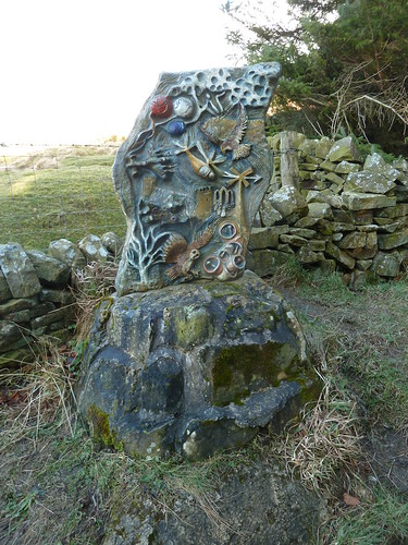
We passed one of the five sculptures on the Bamford Touchstone Sculpture Trail. This one represents 'Air' ...

A first day on the Derwent Valley Heritage Way ...

All the way up this very steep track I had been concerned that we might have met something coming down ... a 4x4 or some motorbikes perhaps.

As we got near the top of the track we noticed a very poignant plaque beside the track ...

A first day on the Derwent Valley Heritage Way ...

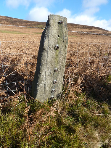
Feeling tired and rather subdued we finally reached the top of the track and turned left down New Road with Bamford Edge above us on our right. On the roadside we passed an interesting old stone fencepost though it wasn't being used quite as it would have been used in the past ...

A first day on the Derwent Valley Heritage Way ...

As we descended we had Win Hill away to our left all the way ...

A first day on the Derwent Valley Heritage Way ...

At the bottom of the hill, on reaching the A6013 we turned right and retraced our steps back to the car. An interesting and sometimes taxing walk.

This walk was followed on the 9th January 2011
 
Length of walk ~ 5.6 miles *
 
Total mileage walked so far in 2011 ~ 10,8 miles
 
Total mileage between the 1st September 2009 and the 9th January 2011 ~ 539.85 miles
 
3 of 2011
* distance calculated on Ordnance Survey's Getamap