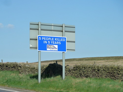
We walked away from the National Trust car park at Longshaw towards Fox House, a delightful pub just inside the Sheffield boundary ...
From Houndkirk Road you get a great view of Carl Wark, with Higger Tor rather dwarfing it behind ...
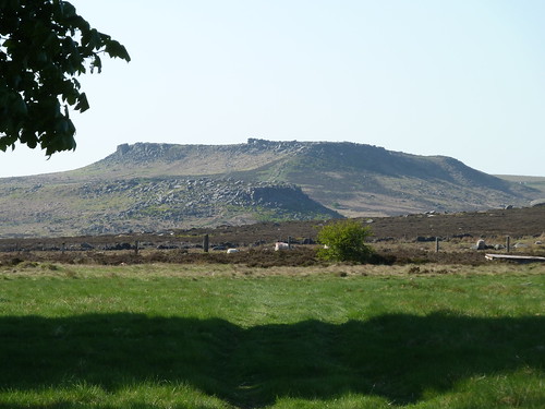
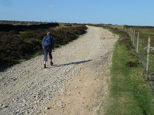
Houndkirk Road is an ancient road [I don't know how ancient] and heads northward towards the western side of Sheffield ...
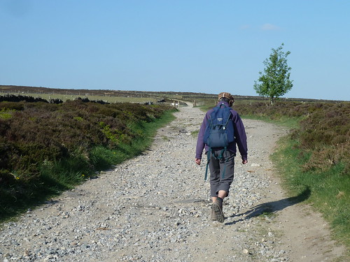
A mile or so along it it we could see some of the buildings of the city beyond Houndkirk Hill ...
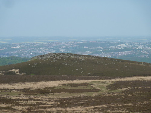
There was still plenty of moorland between us and Sheffield though ...
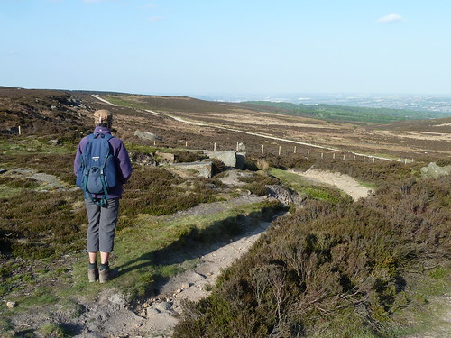
It was at this point that we left the old road and turned westwards to eventually cross Burbage Brook ...
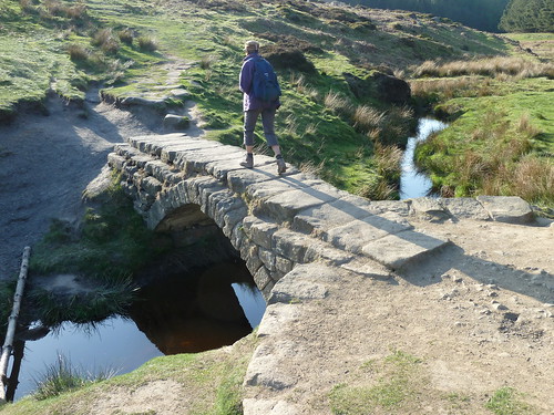
The path we were following took us between Higger Tor and Carl Wark. In the photograph below Higger Tor rises above us as we cross the sometimes boggy ground ...
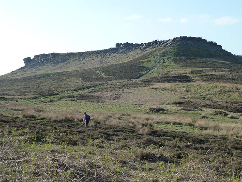
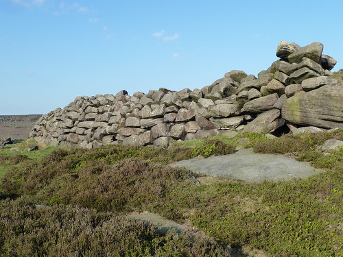
Carl Wark is an Iron Age hillfort dating back four to four and a half thousand years. Here's part of the man-made stone wall that forms part of its defences ...
The wall must be between eight and ten feet high.
The hills to the west stretched away into the distance ...
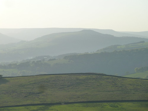
We turned south, past the remains of a millstone ...
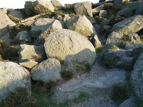
There are some unusual gritstone landmarks up here, besides the man-made ones ...
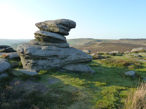
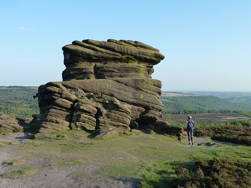
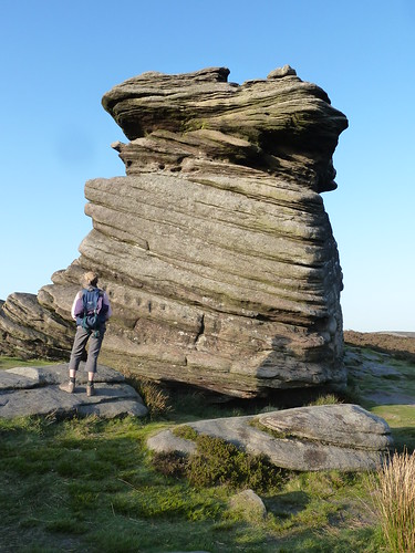
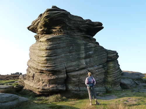
Then we reached Mother Cap which merits a few photographs ...
A few paces beyond there's the head of a creature in stone ... with a smile and two eyes [or are they nostrils]. It looks like the head of a tortoise to me ...
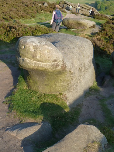
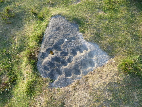
Then on the floor, with the sun's ray coming in at a low angle I noticed this stone. Whether the markings have any significance ... whether they're ancient or modern I don't know.
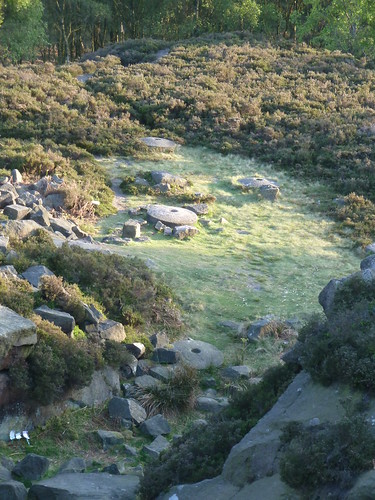
What we could age more easily were the two or three millstones lying near a disused quarry below where I stood. I was reading some blurb at Caudwell's Mill just a day or so ago and it said that when metal grinders/rollers became readily available in watermills the need for millstones ceased almost overnight. This is rather supported by the fact that there are so many millstones lying around in this part of the Peak District ... still awaiting removal or collection ...
We passed through silver birches ...

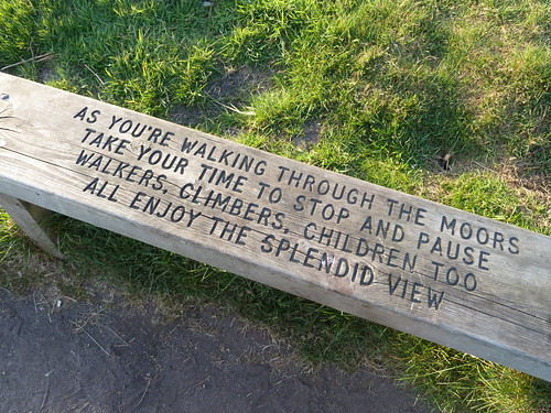
... and I found another of the Peak Park 'poetry benches' ...
The nearby car park only dealt in credit cards ...
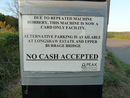
Surely there's something to be said for a Ranger with a high powered rifle being positioned nearby ? OK ... I jest ...
On the far side of the A6187 we followed the ancient sunken lane which runs back towards Fox House and the Longshaw Estate ...
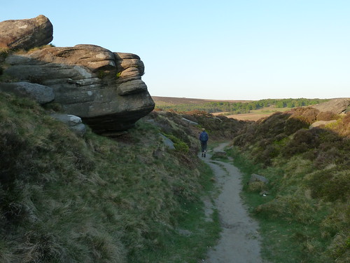
We crossed Burbage Brook again but this time by a much more modern bridge ...
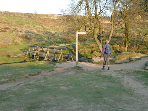
On the National Trust's Longshaw Estate further work has been undertaken clearing rhododendrons ... work that the Derbyshire Dales Group of the Ramblers were involved in 15 years or more ago ...

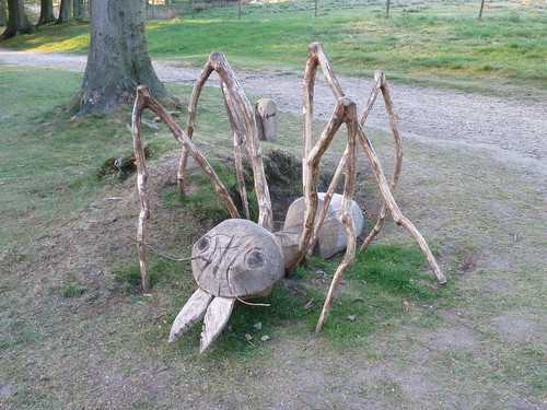
I think this ant forms part of a Trail of some sort ...
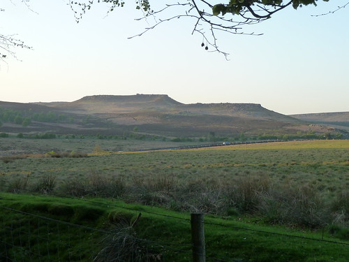
I never tire of taking photographs of Carl Wark with Higger Tor behind [as you may have noticed over the years] ...
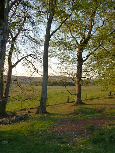
The sun was setting quite quickly as we neared the car ...
This walk was followed on the 27th April 2011
Length of stroll ~ 5.02 miles [very approximately] *
Total mileage walked so far in 2011 ~ 147.09 miles
Total mileage between the 1st September 2009 and the 27th April 2011 ~ 675.14 miles
33 of 2011 [which means in 2011 I was averaging just over 4.45 miles a walk.]
* distance calculated on Ordnance Survey's Getamap

Houndkirk Road is an ancient road [I don't know how ancient] and heads northward towards the western side of Sheffield ...


A mile or so along it it we could see some of the buildings of the city beyond Houndkirk Hill ...

There was still plenty of moorland between us and Sheffield though ...

It was at this point that we left the old road and turned westwards to eventually cross Burbage Brook ...

The path we were following took us between Higger Tor and Carl Wark. In the photograph below Higger Tor rises above us as we cross the sometimes boggy ground ...

Carl Wark is an Iron Age hillfort dating back four to four and a half thousand years. Here's part of the man-made stone wall that forms part of its defences ...
The wall must be between eight and ten feet high.
The hills to the west stretched away into the distance ...

We turned south, past the remains of a millstone ...

There are some unusual gritstone landmarks up here, besides the man-made ones ...

Then we reached Mother Cap which merits a few photographs ...


A few paces beyond there's the head of a creature in stone ... with a smile and two eyes [or are they nostrils]. It looks like the head of a tortoise to me ...

Then on the floor, with the sun's ray coming in at a low angle I noticed this stone. Whether the markings have any significance ... whether they're ancient or modern I don't know.

What we could age more easily were the two or three millstones lying near a disused quarry below where I stood. I was reading some blurb at Caudwell's Mill just a day or so ago and it said that when metal grinders/rollers became readily available in watermills the need for millstones ceased almost overnight. This is rather supported by the fact that there are so many millstones lying around in this part of the Peak District ... still awaiting removal or collection ...

We passed through silver birches ...

... and I found another of the Peak Park 'poetry benches' ...

The nearby car park only dealt in credit cards ...

Surely there's something to be said for a Ranger with a high powered rifle being positioned nearby ? OK ... I jest ...
On the far side of the A6187 we followed the ancient sunken lane which runs back towards Fox House and the Longshaw Estate ...

We crossed Burbage Brook again but this time by a much more modern bridge ...

On the National Trust's Longshaw Estate further work has been undertaken clearing rhododendrons ... work that the Derbyshire Dales Group of the Ramblers were involved in 15 years or more ago ...

I think this ant forms part of a Trail of some sort ...

I never tire of taking photographs of Carl Wark with Higger Tor behind [as you may have noticed over the years] ...

The sun was setting quite quickly as we neared the car ...

This walk was followed on the 27th April 2011
Length of stroll ~ 5.02 miles [very approximately] *
Total mileage walked so far in 2011 ~ 147.09 miles
Total mileage between the 1st September 2009 and the 27th April 2011 ~ 675.14 miles
33 of 2011 [which means in 2011 I was averaging just over 4.45 miles a walk.]
* distance calculated on Ordnance Survey's Getamap


