Thursday, 11 March 2010

Rowsley and Beeley ~ a new walk for Teashop Walks in the Peak District.

With the teashops at Elton and Youlgreave closing since the original book came out five years ago I had to find some replacements nearby. Not surprisingly I plumped for Caudwells Mill and so had to plan a walk from Rowsley.

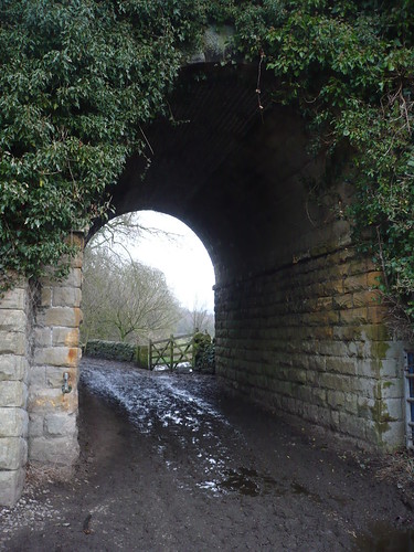
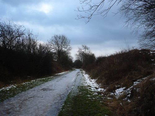
From the Peacock I walked up Church Lane and took the muddy, messy path that passes under what used to be the railway line running up to Buxton ...

Rowsley and Beeley ~ 29th December 2009

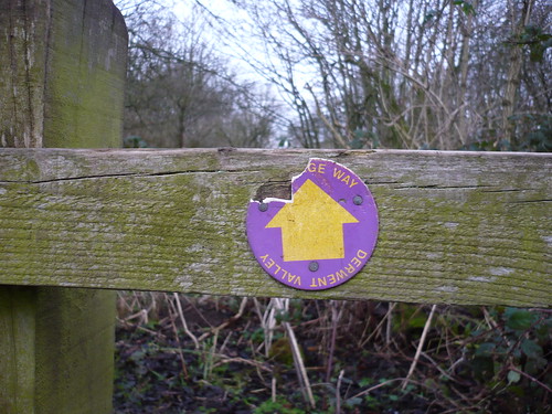
   Picking my way through the mud and slurry [I'm avoiding a particular word for those who are faint of heart] things got better as I got further away from Rowsley. A vandalised waymark reminded me that I was following the Derwent Valley Heritage Way ...
Rowsley and Beeley ~ 29th December 2009

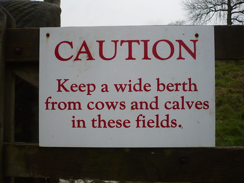
 When I got to Calton Lees, a Chatsworth Estate village, I noticed this sign on a gate I passed through. I had seen no cows or calves though ...
Rowsley and Beeley ~ 29th December 2009

 It might put some people off I would have thought.

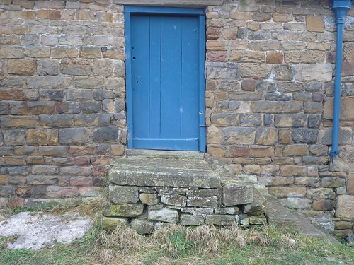
I was then in the Chatsworth Estate village of Calton Lees. You can always tell which houses are owned by Chatsworth as they are painted this colour blue ...
Rowsley and Beeley ~ 29th December 2009

Once I'd got past the garden centre and crossed the old stone bridge I walked across the large field towards Beeley.
Rowsley and Beeley ~ 29th December 2009


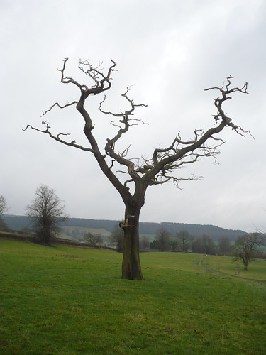
  Further on in the field [it's a big field] I passed these old Derwent Valley Water Board features. I assume they are for inspection purposes or perhaps to let out any gases ?

Rowsley and Beeley ~ 29th December 2009

I looked back towards Chatsworth ...

Rowsley and Beeley ~ 29th December 2009

... I said it was a big field. 

After crossing the road I walked through the churchyard in Beeley. I've never been in the church here and hardly in the churchyard ...

Rowsley and Beeley ~ 29th December 2009

In Beeley there's a strange, stone structure that baffles me. I half thought they might have been stocks but I don't really think so.

Any ideas ? 

Rowsley and Beeley ~ 29th December 2009

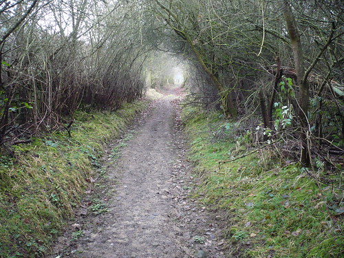
From Beeley I headed across the fields towards Rowsley, crossing this footpath that runs uphill towards Burntwood quarry as I went.
Rowsley and Beeley ~ 29th December 2009

Date of walk ~ 29th December 2009

Length of walk ~ 4 1/4 miles

Total since 1st September 2009 ~ 122 miles

Thursday, 4 March 2010

The Roaches

I found one car park space on the roadside by the Roaches Tearoom and walked along the road ...
The Roaches ~ 28th December 2009

I found another of those poetry benches. I do dislike poetry that rhymes 'map' with 'hat'. I know I know, I'm a pedant.

The Roaches ~ 28th December 2009

I walked north from Rockhall. Me and the couple ahead of me were the only ones taking the path less walked.

The Roaches ~ 28th December 2009

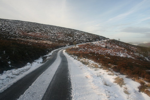
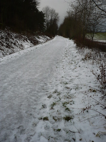
Once I got to the lane I tried to keep my feet on the icy lane that leads to Roach End. 

The Roaches ~ 28th December 2009

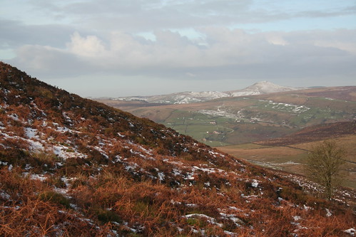
 The higher I got the icier the road became. I stood well clear when any cars came past me. In the distance snow capped Shutlingsloe stood out ...

The Roaches ~ 28th December 2009

The Roaches ~ 28th December 2009

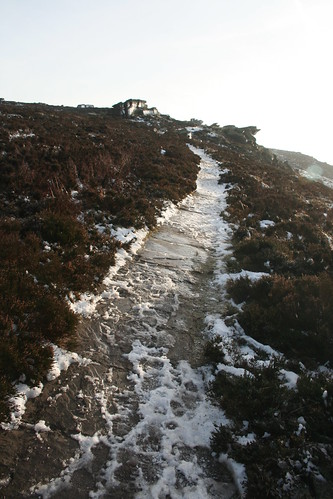
Once I'd got to Roach End I started to climb the very slippery and icy path onto the Roaches ...

The Roaches ~ 28th December 2009

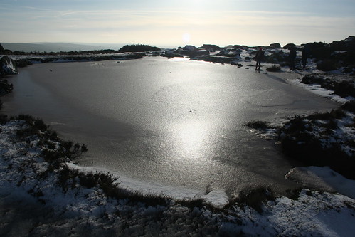
It was just as bad as I got nearer to Doxey Pool ...

The Roaches ~ 28th December 2009

Then I came to Doxey Pool. I didn't see the mermaid that apparently lives in the pool.

The Roaches ~ 28th December 2009

The Roaches ~ 28th December 2009

   The mermaid's name [or so I have read somewhere] is Jenny Greenteeth.

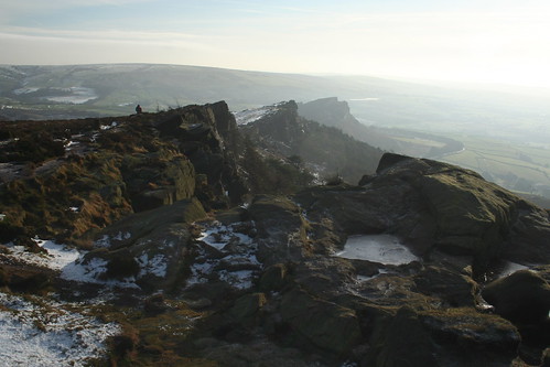
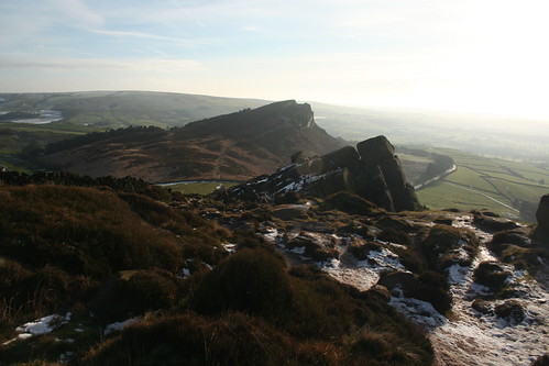
Past Doxey Pool I could see Hen Cloud. In the photo below it's the outrop at the far end ~ the third one. 

The Roaches ~ 28th December 2009

The Roaches ~ 28th December 2009

The Roaches ~ 28th December 2009

After all that I retired to the Roaches Tearoom and had a meal. For the life of me I can't remember what. Still, I can recommend it. 

Date of walk ~ 28th December 2009

Length of walk ~ 5 1/4 miles

Total since 1st September 2009 ~ 117 3/4 miles

Friday, 26 February 2010

Cold and dull ...

No ... not me, though you might have thought it was according to a comment elsewhere from 'Anonymous' who said I should make it more personal ...

Now, where was I ... ah, yes, Hassop Station on the Monsal Trail. Again I was on mi tod, Natasha having stayed at home.

I went out to do another walk for the revamp of Teashop Walks in the Peak District.

The first part was along the Trail towards Great Longstone. I say 'along' it was more a case of walking at the side of the trail, where the dog muck was ...

Hassop Station and Bakewell ~ 27th December 2009

 I nearly got as far as Great Longstone but swung back along the road towards Hassop Station and Toll Bar House. I passed Rowdale House ...

Hassop Station and Bakewell ~ 27th December 2009

   Just beyond Cracknowl Wood is Cracknowl House. There's no drive to it but it seems to be lived in. It's a strange place ...

Hassop Station and Bakewell ~ 27th December 2009

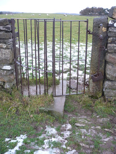
 In the field wall next to Cracknowl House there's a metal kissing gate with an interesting weight to keep the swing gate shut.

Hassop Station and Bakewell ~ 27th December 2009

I reached the bridleway that leads into Bakewell. The slope running down to Holme Hall is fun ... basically a sheet of ice. Holme Hall looked good though ...

Hassop Station and Bakewell ~ 27th December 2009

I wonder who lives in a house like that ?

Just beyond Holme Hall is Holme Bridge, a 17th century packhorse bridge leading towards the A6.

Hassop Station and Bakewell ~ 27th December 2009

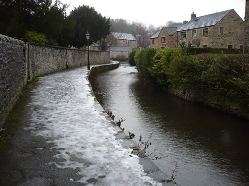
Walking alongside the A6 I passed Victoria Mill before following the stream at Brookside.

Hassop Station and Bakewell ~ 27th December 2009

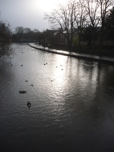
Down at Bakewell Bridge, astride the Wye, I watched the wildfowl being fed. It had started to rain by this time and a drop of water must have got into my dictating device as it just stopped recording or playing back. It has since recovered.

Hassop Station and Bakewell ~ 27th December 2009

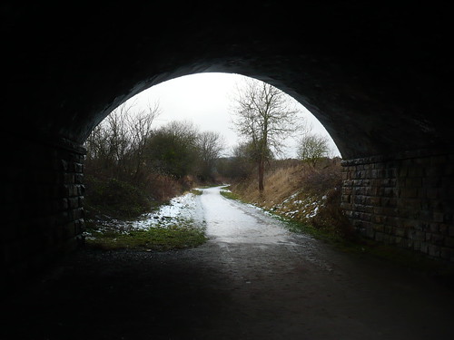
After walking up to Bakewell Station I turned left to follow the Monsal Trail back to Hassop, passing under the road between Bakewell and Hassop as I went.

Hassop Station and Bakewell ~ 27th December 2009

The sky actually seemed a bit bluer as I got nearer to Hassop Station.

Hassop Station and Bakewell ~ 27th December 2009

Since then the Country Bookstore and the tearoom has closed ~ just as I was about to use it in my revamped teashop walks book.

Date of walk ~ 27th December 2009

Length of walk ~ 4 1/4 miles

Total since 1st September 2009 ~ 112 1/2 miles
Thursday, 11 February 2010

Boxing Day, 2009

I was on my own that day for some reason ...

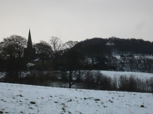
I walked along an icy and slippery Baulk Lane towards Brookfield Manor, Hathersage Church on the hillside behind me ...

Hathersage ~ Boxing Day, 2009

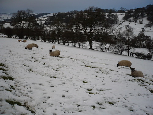
Sheep were scratching around in the snow, looking for the odd tussock of grass ...

Hathersage ~ Boxing Day, 2009

After passing Brookfield Manor, I crossed the road with Bronte Cottage to my right and walked up the field to enter The Warren ...

Hathersage ~ Boxing Day, 2009

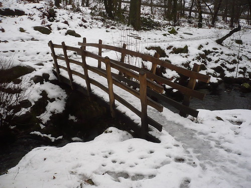
In the Warren there's a newish handmade footbridge ...

Hathersage ~ Boxing Day, 2009

 There's more about the bridge here ... http://www.peakdistrict.gov.uk/index/news/news-display-page.htm?id=17861

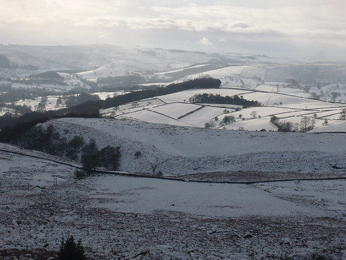
Once I'd got past Green's House and walked up the side of the plantation at Dennis Knoll, I turned round as the sun was just starting to catch some of the landscape behind me ...

Hathersage ~ Boxing Day, 2009

 I zoomed into the middle distance of the photograph above. The next photo shows Carhead Rocks and Cattis-side Moor ...

Hathersage ~ Boxing Day, 2009

After zooming in a little more the next photo shows a closer view of Carhead Rocks on Cattis-side Moor ~ neither of them are names I use but they are shown on the Dark Peak OS Map ...

Hathersage ~ Boxing Day, 2009

Perhaps it was the cold or the snow ... whatever it was, there weren't many walkers about. I climbed up Long Causeway towards Stanage Edge. By now the sun was more visible as I looked across the valley towards the mast on Shatton Moor ...

Hathersage ~ Boxing Day, 2009

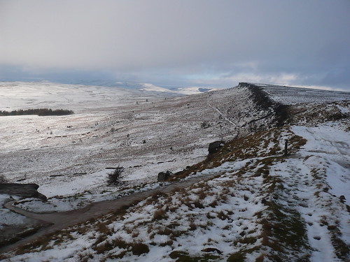
At the top of Long Causeway there was a great view north-west along Stanage Edge.

Hathersage ~ Boxing Day, 2009

It was so good to see so much snow I went a bit trigger happy ...

Hathersage ~ Boxing Day, 2009

Hathersage ~ Boxing Day, 2009

One too many photos of Stanage Edge perhaps ... 

I descended through Stanage Plantation and then followed the path through the wood towards North Lees Hall ...

Hathersage ~ Boxing Day, 2009

 I stopped for a coffee leaning against the gate at the edge of the plantation, admiring the view towards North Lees Hall [in the trees ahead] ...

Hathersage ~ Boxing Day, 2009

A couple of other walkers passed me as I stood there ...

Hathersage ~ Boxing Day, 2009

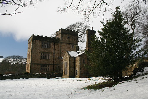
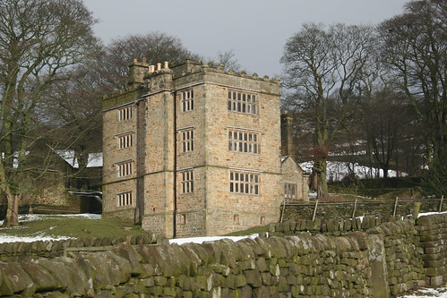
Then I reached North Lees Hall which looks better in winter than at any other time of the year ...

Hathersage ~ Boxing Day, 2009

... though from the lower side it didn't look quite such a wintry scene.

Hathersage ~ Boxing Day, 2009

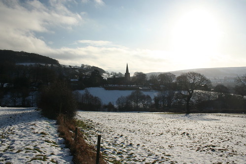
Continuing down the path from North Lees Hall I passed to the left of Cowclose. After a field or two there's a great view of Hathersage Church ...

Hathersage ~ Boxing Day, 2009

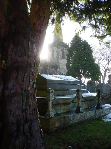
 At the edge of the churchyard one of the yew trees was nicely backlit by the sun ...

Hathersage ~ Boxing Day, 2009

Hathersage ~ Boxing Day, 2009

  Date of walk ~ 26th December 2009

Length of walk ~ 5 3/4 miles
Total since 1st September 2009 ~ 108 1/4 miles