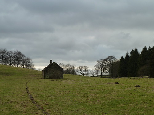
Monday, 31 December 2012

Walking with The Boy ...

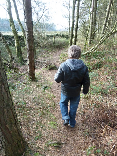
Benjamin was ten when I took him up to explore a Forestry Commission wood near where I used to live until I was about his age.

The wood is named as Bown Piece and it's only in the last year or two that walkers have been able to explore this wood ... open access and all that.
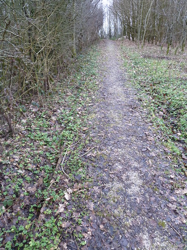
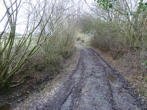
Walking in one of the Forestry Commission Woods at Matlock Moor

It's hard to describe a walk like this because although there are some paths on the ground they're often not marked on a map ...
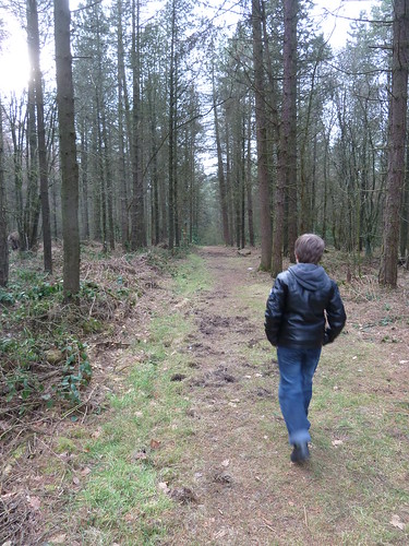
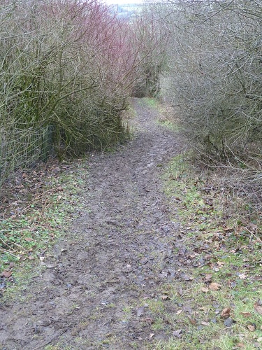
Walking in one of the Forestry Commission Woods at Matlock Moor   

Half the fun is just following your nose knowing that you can't get lost in a small wood like this ... can you ...

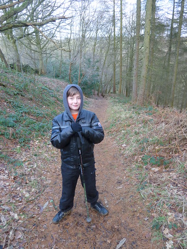
Find a branch that's the right height and smooth enough and you can sit and have a chat about life and both learn something ...
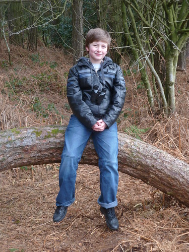
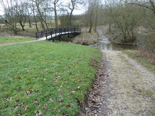
Walking in one of the Forestry Commission Woods at Matlock Moor  

We reached the corner of the Five Fields and I looked across to the spot where Benjamin's great grandfather died 50 years ago. Was it the right time to tell him something of that death. I decided not ...
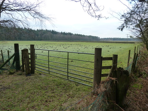
Walking in one of the Forestry Commission Woods at Matlock Moor   

... not today.

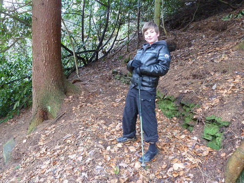
I suppose these trees were growing up as I grew up nearby though some of them have probably been around longer than me ...
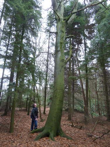
Walking in one of the Forestry Commission Woods at Matlock Moor  


Then we got lost ... a bit ...


Once we'd found our way again we were following a good path ...

Walking in one of the Forestry Commission Woods at Matlock Moor  

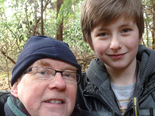
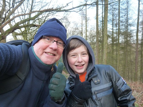
Time for a 'group' shot !

Walking in one of the Forestry Commission Woods at Matlock Moor  

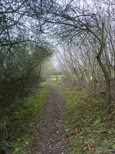
Before we knew it we'd found the path which led us back to the car.
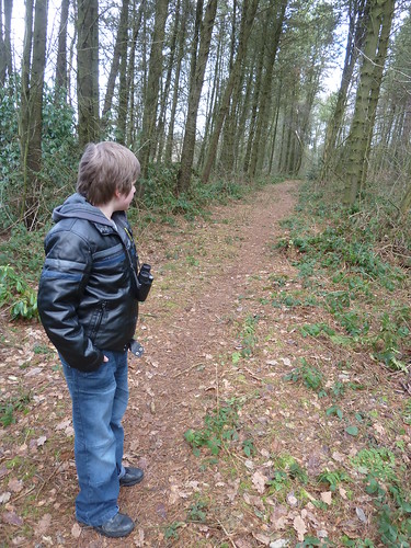
Walking in one of the Forestry Commission Woods at Matlock Moor  

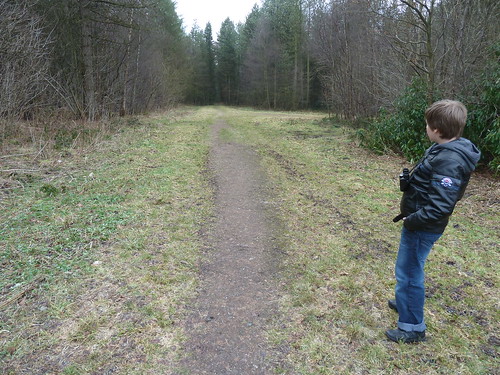
What I couldn't understand was why the path was so distinctive in places and in other places it just didn't exist.

This walk was followed on the 29th January 2011

 
Length of walk ~ 0.96 miles *
 
  Total mileage walked so far in 2011 ~ 32.63 miles

 
Total mileage between the 1st September 2009 and the 29th January 2011 ~ 561.68 miles

 
  10 of 2011
 
* distance calculated on Ordnance Survey's Getamap

The End is Nigh ...

Yes, in 9 hours time 2012 will have ended.

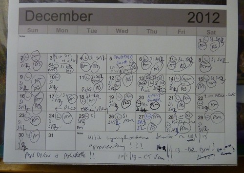
I'll need a new calendar as 2012's is well and truly full ...


December 2012 on my calendar ...  

... mainly with a note of my daily intake of drugs but also with some appointments [hospital, doctor, nurses ... but some friends too]. I've had to make some notes for January on there as well.

Before we get into 2013 let me wish you the very best for the New Year. I hope it will be a good one for you ... make sure you enjoy it.

Friday, 28 December 2012

A Farm Journal ~ from the 1st to the 15th November 1867

My great great great uncle John Bayliff Bowman lived at Summer Hill, near Monyash in the County of Derby.
 
The Bowman family, who were Quakers, had three farms, One Ash Grange [which John Bayliff Bowman often referred to as O.A.], Cales and Summer Hill [which he usually referred to as S.Hill or S.H.]

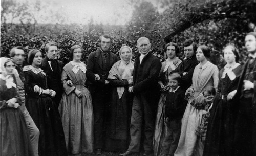
In this photo John is fourth from the left. My great great grandparents, Ebenezer and Hannah Bowman, are the third and fourth adults from the right. John and Ebenezer were brothers and their parents are the elderly couple in the middle, Henry and Mary Bowman.

The Bowman family

"A Farm Journal" continues :~
 
7 day 2nd of 11 Mon[nth] - Fine finish[e]d plough[in]g N[ethe]r Intake
 
2 - 4th Fine day put tups to ewes 177 in all began turnip pitting Jesse Bonsall* & Wm. Hadfield - Tho[ma]s & Charles work the horses harrow[in]g fallows etc began plough[in]g Watricle 2 ton Rape cake from P[arsley] Hay for milk cows 2 lb p[e]r day
 
5 - 7 Fine plough[in]g & turnip pitting Eb[eneze]r Howitt took his young horses - Martha A to Middleton Very fine weather 
 
up to 5 - 14 wet day got on well with turnip pitting & plough[in]g
 
6 - 15 Fine 
 
 
In the 1871 Census Return there was a Jesse Bonsall aged 33 [described as a "laborer" (sic)]  living with his wife Ann also 33 and his three sons Richard [10], Joseph [9] and Thomas William [5]. 
 

Ticking away ... Day 789 ~ I can't help myself ...

Time for another Prostap injection today. I watched the syringe slide into my tummy ... and I watched the syringe slide out. Fascinating. I hasten to add that it goes in at an angle and not straight in.

My next injection [in 12 weeks time] is the Friday before Good Friday. In other words the Friday before Easter.

My 'groin strain' is more uncomfortable than it used to be and I would think any 'serious' walking is out of the querstion for the time being. This is something of a setback for a walker [as in 'rambler']. I will just have to 'set back' [as some of our American cousins say] and dig the slowness for a time. It can be done.

The last time I saw my doctor he intimated that radiotherapy would hopefully improve the quality of life so lets hope it improves it enough to let me walk a bit more easily ... after I've had my CT Scan on the 10th January.

Finally if anyone thinks I'm doing these blogs to get attention then please move along as soon as possible. I don't ... I do it largely for anyone who finds themself in this sort of situation. 

Thursday, 27 December 2012

Following the Cromford Canal ~ 7 ... Golden Valley and Erewash Meadows.

My seventh walk following the Cromford Canal was undertaken on a rather dull day nearly two years ago. That is very hard to believe.

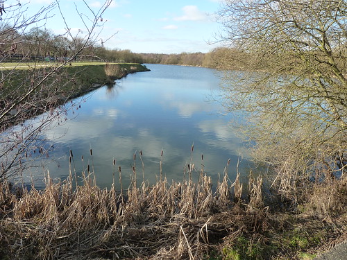
There's a car park beside Codnor Park Reservoir ...

Cromford Canal ~ January 2011

... and from there I took a path on the northern side of the reservoir to get back to where I left Cromford Canal on the sixth day ...

Cromford Canal ~ January 2011   

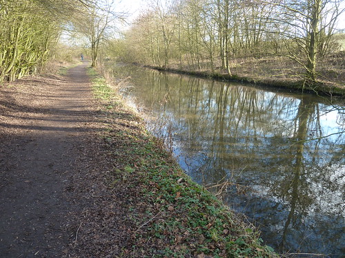
Once I'd reached the Newlands Inn [or what remains of it] I turned back and walked alongside the old canal once more ...

 Initially the canal was less than impressive, as you can see above, but as I got back towards Codnor Park Reservoir it began to look more like a canal.


Cromford Canal ~ January 2011   

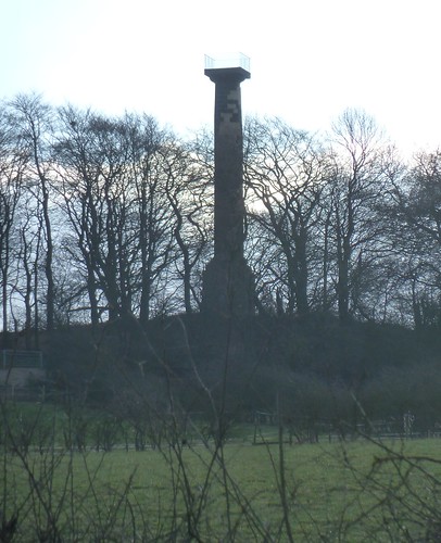
As I walked along the southern side of the reservoir to my right, on the hill, was the Jessop Monument ...

Cromford Canal ~ January 2011

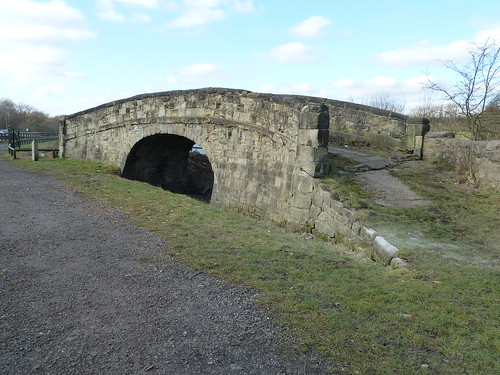
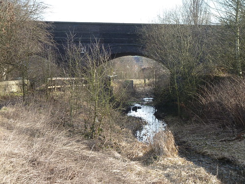
 At the eastern end of the reservoir is a redundant bridge ...

Cromford Canal ~ January 2011    

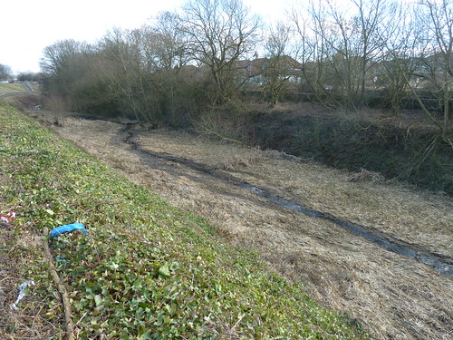
The three mile long Pinxton Arm of the canal used to pass under this. Behind me as I took the above photograph is the canal itself ...

Cromford Canal ~ January 2011  

It was rather lacking in water.

A little further along, still on the edge of Ironville, you reach the remains of a lock ...

Cromford Canal ~ January 2011  


Cromford Canal ~ January 2011   

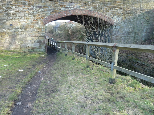
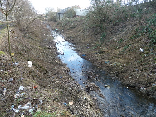
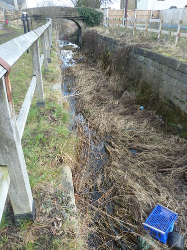
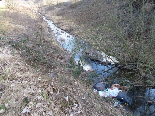
Some local people seem to believe the section beyond the bridge is a rubbish dump ...

Cromford Canal ~ January 2011  

Cromford Canal ~ January 2011   

Cromford Canal ~ January 2011  

I was heading down to the railway bridge where the canal wasn't so much maltreated as just overgrown ...

Cromford Canal ~ January 2011  

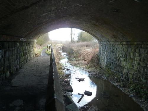
Passing under the bridge the canal still appeared neglected ...

Cromford Canal ~ January 2011  

 It's rather different from the canal at the Cromford end isn't it.

Beyond the railway bridge I turned around and looked back ...

Cromford Canal ~ January 2011  

I was heading almost due south now ... and I was in Nottinghamshire ...

Cromford Canal ~ January 2011  

Cromford Canal ~ January 2011  

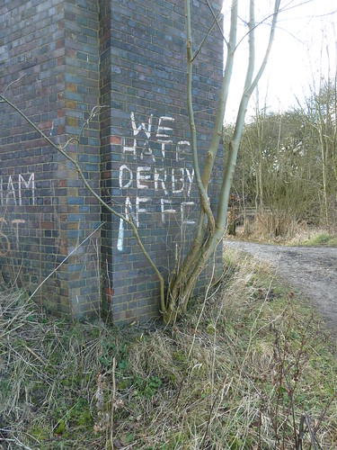
I could tell I was in Nottinghamshire by the graffiti ...

Cromford Canal ~ January 2011  

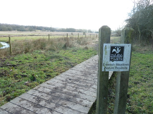
I'd reached the edge of Derbyshire Wildlife Trust's Erewash Meadows Reserve ...

Cromford Canal ~ January 2011

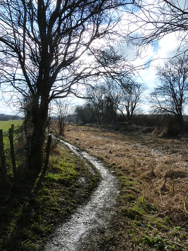
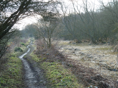
This is where I started to head back after crossing the footbridge over the railway line and walking northwards ...

Cromford Canal ~ January 2011

Cromford Canal ~ January 2011

This walk was followed on the 28th January 2011

  Length of walk ~ 4.12 miles *
 
  Total mileage walked so far in 2011 ~ 31.67 miles

  Total mileage between the 1st September 2009 and the 28th January 2011 ~ 560.72 miles

   9 of 2011
 
* distance calculated on Ordnance Survey's Getamap
Friday, 21 December 2012

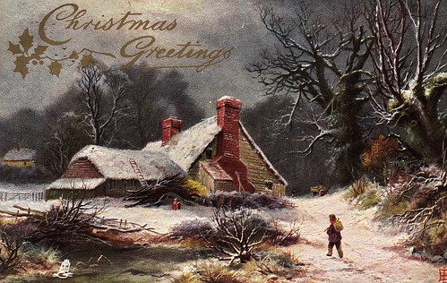
Christmas Greetings ... from 1907

In 1907, on Christmas Eve, some of my relatives posted a Christmas postcard to my grandparents ...

100 years ago .....

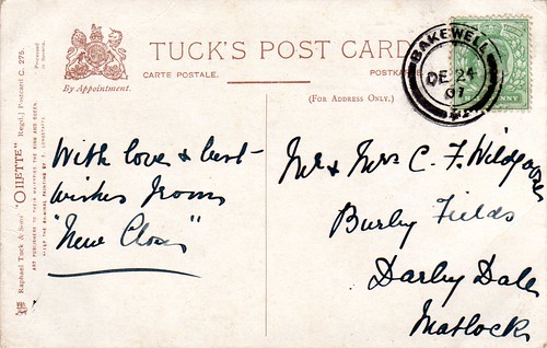
As you can see from the back of the postcard ...


.. and this is what it said on the back  

... my relatives were at "New Closes" [now known as New Close Farm], Over Haddon. Grandad [Charlie Wildgoose] lived at Burley Fields Farm, Darley Dale, just up the hillside from where I am sitting typing this. 

I've blogged about this postcard a number of times before but at this time of year I always think about it being sent 105 years ago this Monday.

Monday, 17 December 2012

Who do I think I am ? [12] ~ watering down Sheffield's milk ...

According to the Sheffield and Rotherham Independent of the 16th June 1866 Ebenezer Bowman of 'Onelish' near Bakewell sued George Goodlad of Stafford Street Park for £8. 3s. 7d for "the value of milk sold to him.".

I suggest that for 'Onelish' you should read 'One Ash' where Ebenezer Bowman lived at that time.

What the present day equivalent of £8. 3s. 7d [or £8.18] is I'm not sure. 

Ebenezer Bowman represented himself. The defendant was represented by a Mr. Gould. 

It seems that "several hundred gallons of 'a liquid' had been supplied" by Ebenezer Bowman to Mr. Goodlad. Ebenezer Bowman wanted paying for that milk. Mr. Goodlad's defence was that he had not been supplied with milk but a "mixture of milk and water, whilst he had contracted to be supplied with pure milk.".

Mr. Goodlad's representative asked Ebenezer Bowman whether he had mixed water into the milk ~ "That has nothing to do with it ...".

The Judge responded ~ "You must answer the question."

Ebenezer Bowman ~ "Well, a good many milk sellers do it in Sheffield ..."

There then followed evidence from two men, Botfield and George Siddall who confirmed that Ebenezer Bowman had indeed instructed them to water down the milk with Botfield adding that his then employer told him that "... the people of Sheffield did not mind it, and he had no occasion to care."

Ebenezer Bowman had argued that the agreement was that he supplied watered down milk to Mr. Goodlad but this was not accepted. The judge held that the action failed and Ebenezer Bowman was "called upon to pay 30s for costs, and he complied with the best grace in the world."

Towards the end of their report the Sheffield and Rotherham Independent commented that Ebenezer Bowman "... (who appeared the personification of good nature) [stated that] I feel highly satisfied with your Honour's verdict, though I am a loser, for if other milk sellers would take the same course, the town would be better supplied with milk. (Laughter)"

img143

Ebenezer Bowman was born on the 18th December 1821.

He was my great great grandfather and brother of John Bayliff Bowman. 

There is no mention in John Bayfield Bowman's Farm Journal of this court appearance.

This article was researched on the website of the British Newspaper Archive. 


A Farm Journal ~ October 1867

My great great great uncle John Bayliff Bowman lived at Summer Hill, near Monyash in the County of Derby.
The Bowman family, who were Quakers, had three farms, One Ash Grange [which John Bayliff Bowman often referred to as O.A.], Cales and Summer Hill [which he usually referred to as S.Hill or S.H.]

In this photo John is fourth from the left. My great great grandparents, Ebenezer and Hannah Bowman, are the third and fourth adults from the right. John and Ebenezer were brothers and their parents are the elderly couple in the middle, Henry and Mary Bowman.

The Bowman family

"A Farm Journal"continues :~
1 of 10 Mo[nth] Fine finish[e]d corn cutting dipped ewes & lambs

4 day 2nd Fair morn[in]g wet aft[ernoo]n - self to Ashford last night & on to Furnace M[onthly] M[eeting]* with Father & co[usin] E. this morn[in]g then to Peter Bramley's to tea & by train to Nott[ingha]m evening - our folks lead corn out of Watricle etc.

5 - 3 Fine day at Nott[ingha]m

6 - 4 Fine but cold & windy home with W[illia]m & two of Wain's [sic] children lead[in]g corn - Edw[ar]d Brewer had a Public Meet[in]g in even[in]g here to lodge to Bakewell in morning

7 - 5 Beautiful day W[illia]m & Eben[ezer]'s men & horses helping us to lead Nether Intake corn just finish[e]d at night

1 - 6 Fine

2 - 7 Very showery day Thunder & Lightning even[in]g

3 - 8 Ditto cold & showery thatch[in]g stacks & paring Watricle - only make 1 cheese a day at S.H. 14 cows - at Cales 2 1 day 1 the other - Very showery weather

up to 6 day 24 finish[e]d lead[in]g corn at S.H. in only mid[dlin]g condition

7 - 25 Fine getting potatoes Pewet Knobs self grind[in]g at Cales plough[in]g N[ethe]r Intake began last 2nd day to give cows a few turnips Showery weather

to 30th [next two words indecipherable !] Haven Fair day Fine day no cattle a great many sheep & prices low - bo[ugh]t 12 Ewes & 8 Thieves of G. Shirley 33/- each many unsold    

 * There is a photograph of the Toadhole Furnace Meeting House on the Crich Parish site ...

Thursday, 13 December 2012

From a valve tower to a tympanum ...

Back in 2011, in those January days, I was walking little but often. I had gone down to a three day working week but gone up to a three day walking week.

The 24th January 2011 saw me parking at Carsington Water between Wirksworth and Ashbourne on one of those dull Derbyshire days ... it suited my mood.

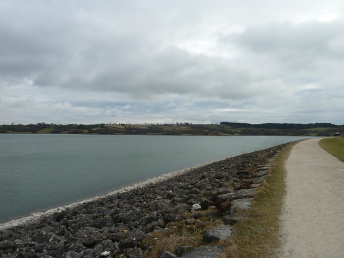
I set off across the dam wall and it was damn cold. It always is. Even on the sunniest of summer days the wind howls across here. 

Around Carsington Water ~ January 2011.  

I reached the valve tower which you may just have spotted on the right hand side of the photograph above ...

Around Carsington Water ~ January 2011.

I was grateful to get out of the wind and onto the path that links the reservoir with the village of Hognaston ...

Around Carsington Water ~ January 2011.  

I was lucky enough to see two or three bullfinches but not lucky enough to photograph them ...

Around Carsington Water ~ January 2011.

The hawk-eyed amongst you will have noticed the mud. Well, get out of the wind and into the shelter of trees and bushes and mud is what you're likely to encounter ...

Around Carsington Water ~ January 2011.  

The mud ended though when I reached a rather fine bridge over the watercourse below the dam wall ...

Around Carsington Water ~ January 2011.

As I rose up, away from the bridge the path wasn't quite so miserable. In fact it was rather attractive ...

Around Carsington Water ~ January 2011.

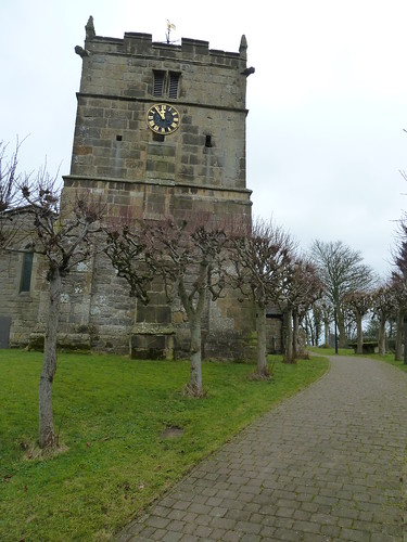
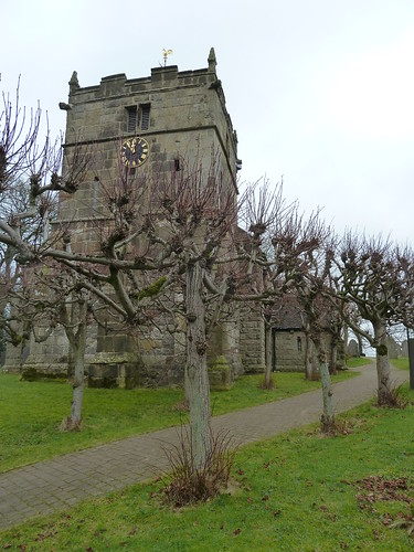
My meandering route led me to St, Bartholomew's Church in Hognaston ...

Around Carsington Water ~ January 2011.

The short avenue of pollarded trees always catch my eye ...

Around Carsington Water ~ January 2011.

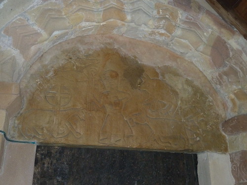
The most interesting thing abiout this church though it its tympanum [the bit above the door in the porch] ...

Around Carsington Water ~ January 2011.

It's not always easy to photograph this type of feature but you should be able to make out a figure holding a crook in the middle together with a sheep on the left with a pair of birds above it. On the right is a dog or wolf with a pig perhaps above. There is also something on the far right which doesn't show up well in my photo.

Is this Norman ? Or perhaps Saxon ? Who knows ... but it does appear to be very old. There are certainly much grander tympanum but I like the naivety of this one and the others nearby at Parwich and Tissington.

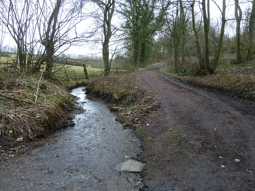
From the tympanum I walked down Green Lane to the stream in the valley to the north-east of the church ...

Around Carsington Water ~ January 2011.  

After crossing the stream I followed Enslet Lane out of the shallow valley ...

Around Carsington Water ~ January 2011.

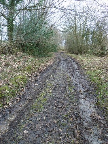
It always impresses me that a muddy old track like this has a name.

Around Carsington Water ~ January 2011.

 This muddy old track may be very ancient too of course, perhaps even older than the church.

In the field beside Enslet Lane I tried to squeeze through a redundant squeezer stile ... 

Around Carsington Water ~ January 2011.  

In those days I could do it.

This walk was followed on the 24th January 2011
 
Length of walk stroll ~ 3.18 miles *
 
Total mileage walked so far in 2011 ~ 27.55 miles
 
Total mileage between the 1st September 2009 and the 24th January 2011 ~ 556.60 miles
 
8 of 2011
 
* distance calculated on Ordnance Survey's Getamap
Sunday, 9 December 2012

A Farm Journal ~ from the 17th to the 30th September 1867

My great great great uncle John Bayliff Bowman lived at Summer Hill, near Monyash in the County of Derby.
The Bowman family, who were Quakers, had three farms, One Ash Grange [which John Bayliff Bowman often referred to as O.A.], Cales and Summer Hill [which he usually referred to as S.Hill or S.H.]

In this photo John is fourth from the left. My great great grandparents, Ebenezer and Hannah Bowman, are the third and fourth adults from the right. John and Ebenezer were brothers and their parents are the elderly couple in the middle, Henry and Mary Bowman.

The Bowman family

"A Farm Journal"continues :~
 
3 - 17 Fine but very cold N.E. Wind Self to Nott[ingha]m Q[uarterly] M[eeting] & back - very interesting occasion - there were B. Braithwaite, Ewd Smith, R. Fry, Jon[athan] Grubb of Y[early] M[eeting] Committee to meeting of ministers & Elders who gave us some excellent advice & spoke to the Binghamites we must not judge one another but do all we can to help each other by word & deed to continue on our heavenward journey & endeavour to act as Christians
 
5 - 19 Fine Mary A came - Thrashed rye winnow[e]d etc at corn in Watricle 
 
6 - 20 began N[ethe]r Intake corn
 
2 - 23 Very wet to fetch Dr. after breakfast & mother from Ashford to S.A. sold Widdowson 6 [?] brown cows 13 5/- J Hemsley - Shelton to O.A. bo[ugh]t some calves
 
3 - 24 Fine day Baby born about 4 oclock this morn[in]g - a very fine lad
 
4 - 25 Fine corn cutting 45 Irish heifers came £6 10/- each
 
5 - 26 Fine
 
6 - 27 Fine cutt[in]g corn to 3 - 30 
 
S.A. was John Bayliff Bowman's wife, Sarah Ann [formerly Armitage]. It seems therefore that on the 24th September 1867 their first child was born.
 

Saturday, 8 December 2012

Grandfather and grandson ...

The day after I was wandering around the Goyt Valley in the cold I was strolling much nearer home with my grandson, Benjamin.

We parked up on Bent Lane, Darley Dale, and walked past an old stone barn that may very well have been used by my great grandfather a century or more ago [he farmed nearby Burley Fields Farm at the beginning of the 20th century] ...

Halldale and Bent Lane ...

It's sad to see the barn so dilapidated now. I can remember it when it looked in much better condition.

At the other side of the field we entered Halldale Wood ...

Halldale and Bent Lane ...  

This wood is owned by the Woodland Trust and is very dear to my heart. Not only is it local but it's a marvellous wood where you very rarely see anyone ... except grandfathers and grandsons posing for photos ...

Halldale and Bent Lane ...  

I don't normally keep my bobble hat or my gloves on for long but that day was cold.

We walked down into the valley bottom where a wooden footbridge crosses the brook.

Halldale and Bent Lane ...

Time for some more posing ...

Halldale and Bent Lane ...

I never did this with either of my grandfathers ... go walking. My paternal grandfather had died when I was Benjamin's age and my maternal grandfather ... well, I never got to go for a walk with him, though he did show me his New Zealand White rabbits and his homing pigeons which he always seemed very proud of ... 

If you cross the bridge you come out on the far side of the wood but we wanted to stay on 'our' side so we followed the path as it zigzagged up through an old, overgrown nursery ...

Halldale and Bent Lane ...  

Most of the nurseries are now grass fields and in the middle of one of the fields there's an old stone building which I reckon the nurserymen would have used to shelter in. You can see there's a chimney and I dare say on cold days they would have gone in here, mashed a pot of tea and had a natter ...

Halldale and Bent Lane ...  

This walk was followed on the 21st January 2011
 
Length of walk stroll ~ 0.95 miles *
 
Total mileage walked so far in 2011 ~ 24.37 miles
 
Total mileage between the 1st September 2009 and the 22nd January 2011 ~ 553.42 miles
 
7 of 2011
 
* distance calculated on Ordnance Survey's Getamap