Showing posts with label footpath. Show all posts

Saturday, 8 December 2012

Grandfather and grandson ...

The day after I was wandering around the Goyt Valley in the cold I was strolling much nearer home with my grandson, Benjamin.

We parked up on Bent Lane, Darley Dale, and walked past an old stone barn that may very well have been used by my great grandfather a century or more ago [he farmed nearby Burley Fields Farm at the beginning of the 20th century] ...

Halldale and Bent Lane ...

It's sad to see the barn so dilapidated now. I can remember it when it looked in much better condition.

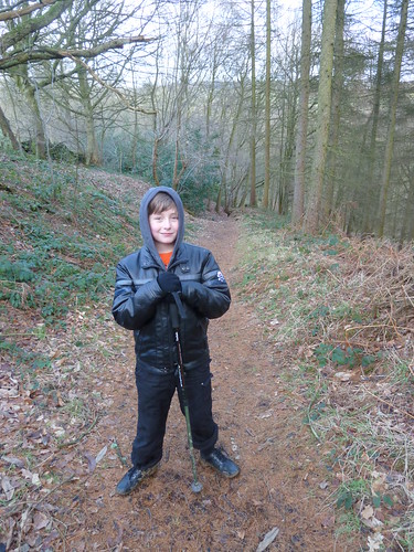
At the other side of the field we entered Halldale Wood ...
Halldale and Bent Lane ...  

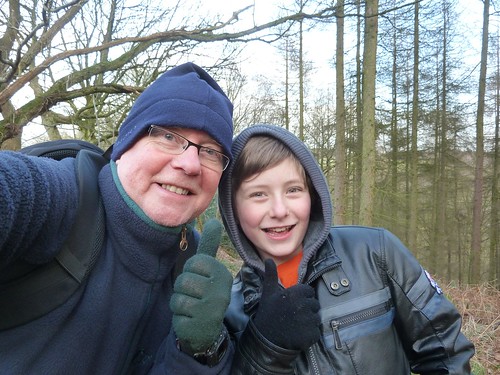
This wood is owned by the Woodland Trust and is very dear to my heart. Not only is it local but it's a marvellous wood where you very rarely see anyone ... except grandfathers and grandsons posing for photos ...
Halldale and Bent Lane ...  

I don't normally keep my bobble hat or my gloves on for long but that day was cold.

We walked down into the valley bottom where a wooden footbridge crosses the brook.

Halldale and Bent Lane ...

Time for some more posing ...

Halldale and Bent Lane ...

I never did this with either of my grandfathers ... go walking. My paternal grandfather had died when I was Benjamin's age and my maternal grandfather ... well, I never got to go for a walk with him, though he did show me his New Zealand White rabbits and his homing pigeons which he always seemed very proud of ... 

If you cross the bridge you come out on the far side of the wood but we wanted to stay on 'our' side so we followed the path as it zigzagged up through an old, overgrown nursery ...
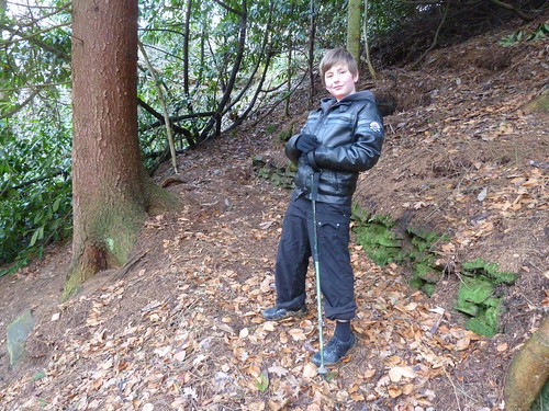
Halldale and Bent Lane ...  

Most of the nurseries are now grass fields and in the middle of one of the fields there's an old stone building which I reckon the nurserymen would have used to shelter in. You can see there's a chimney and I dare say on cold days they would have gone in here, mashed a pot of tea and had a natter ...
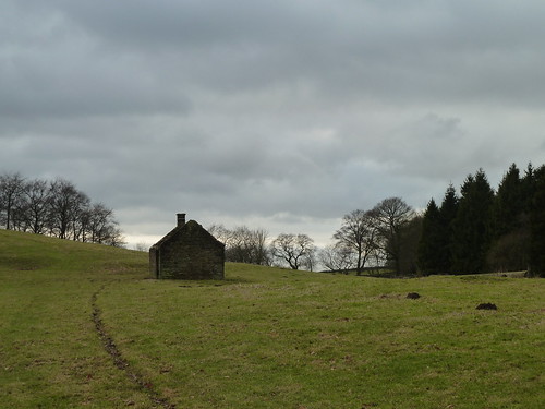
Halldale and Bent Lane ...  

This walk was followed on the 21st January 2011
 
Length of walk stroll ~ 0.95 miles *
 
Total mileage walked so far in 2011 ~ 24.37 miles
 
Total mileage between the 1st September 2009 and the 22nd January 2011 ~ 553.42 miles
 
7 of 2011
 
* distance calculated on Ordnance Survey's Getamap

Thursday, 22 November 2012

The Cuckoo Way ~ the fifth day ... Killamarsh to the M1 [and back]

My fourth day following the Cuckoo Way was on the 14th November 2010 ~ nearly two years ago.

My fifth day started in Killamarsh ... once I'd found somewhere to park. In places in Killamarsh the canal and even the route of the canal are hard to find. The Cuckoo Way sign is easier to locate and at least you know you're on the right route ...

Killamarsh and the Cuckoo Way ...

So, thirty five and a half miles to go before I reach the River Trent !

I'd got to get out of Killamarsh yet. 

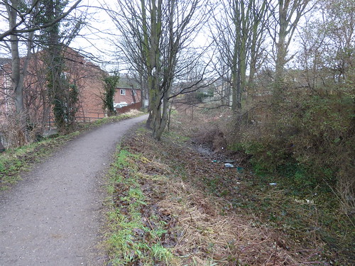
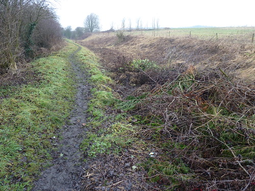
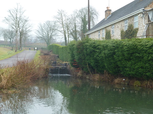
Anyway, I did find the route of the canal after a while though it seems to have been used for dumping litter ...

Killamarsh and the Cuckoo Way ...

It has also been built on which should make the challenge of opening up the canal a big one. 

Killamarsh and the Cuckoo Way ...

Nearly a hundred years ago on the canal in this area, on the 28th November 1915 to be precise, six young people drowned.

They had been skating on the frozen canal when the ice suddenly gave way and the six of them aged between 6 and 21 crashed through the ice into the water beneath. Efforts were made to rescue them but to no avail. It was subsequently reported that one of those that died, 21 year old Alice Reid of Dock Walk, Chesterfield, was engaged to be married to Tom Northridge, brother of one of the other victims, Fred Northridge aged 18. Their banns had been read for the second time that morning. 

A number of the victims are buried in the churchyard at Killamarsh.

As I continued north through Killamarsh it was obvious that quite a large section of the original canal has been lost ...

Killamarsh and the Cuckoo Way ...

I assume the path I was following is the original towpath and the canal was too my right, now forming parts of people's gardens ...

Killamarsh and the Cuckoo Way ...  

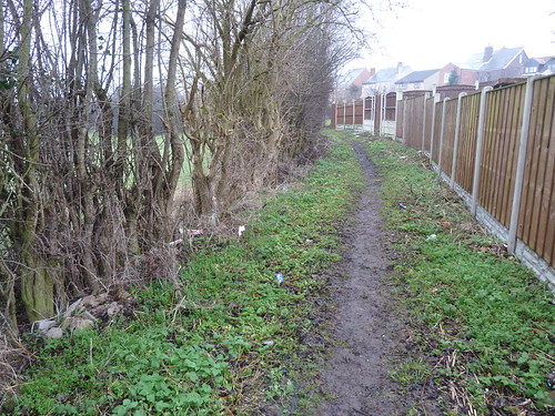
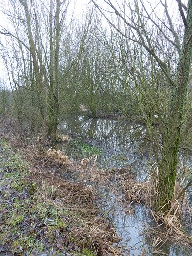
Eventually though the houses were left behind and I could see where the canal used to run, even though some of it was full of garden cuttings.

Killamarsh and the Cuckoo Way ...  

Until I reached the A618 the route of the canal could be seen to some degree ...

Killamarsh and the Cuckoo Way ...  


Killamarsh and the Cuckoo Way ...

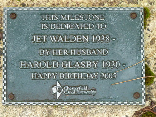
Just before the A618 I reached the 12 mile post ...

Killamarsh and the Cuckoo Way ...  

... dedicated to Jet Walden by her husband ...

Killamarsh and the Cuckoo Way ...

Jet Walden must be one of the best names I have ever heard ... that and Darwin Vest.

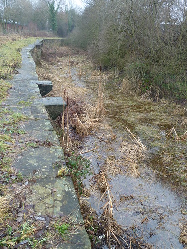
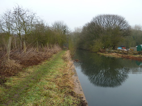
On the eastern side of Rother Valley Country Park I crossed the A618 and now the canal looked a bit more like a canal ...

Killamarsh and the Cuckoo Way ...  

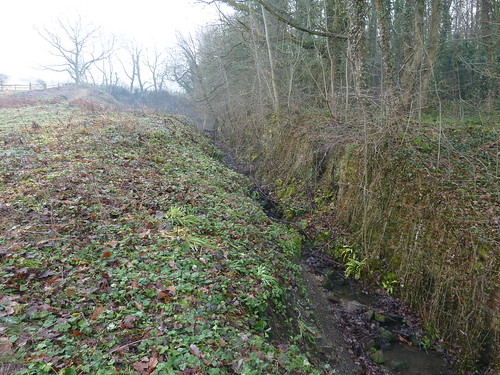
... though the banking was showing signs of collapse ...


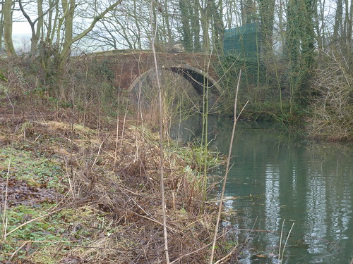
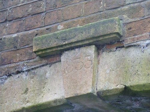
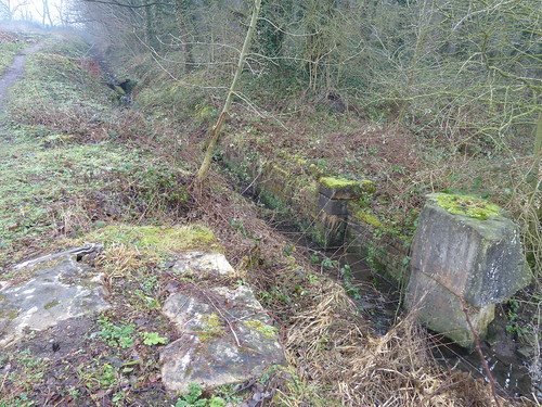
On the northern edge of Nor Wood a redundant mid-19th century brick bridge ...

Killamarsh and the Cuckoo Way ...


Killamarsh and the Cuckoo Way ...

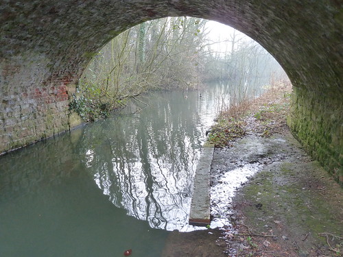
... and the view looking back towards the country park ...

Killamarsh and the Cuckoo Way ...

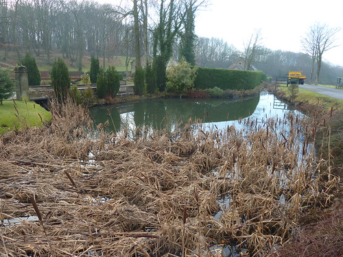
Heading towards the M1, a couple of hundred yards later the canal appears to have been incorporated as a feature in a garden ...


Killamarsh and the Cuckoo Way ...

 ... assuming this was the route of the canal ...

Killamarsh and the Cuckoo Way ...  

It looks like there might have been a flight of locks here ...

Killamarsh and the Cuckoo Way ...  

... or was there ?

Killamarsh and the Cuckoo Way ...  

I knew I was on the correct route though, the line of the Cuckoo Way, heading from a 200 year old 'highway' towards a busier and more modern one, the M1 ...

Killamarsh and the Cuckoo Way ...  

... and passing under it ...

Killamarsh and the Cuckoo Way ...  

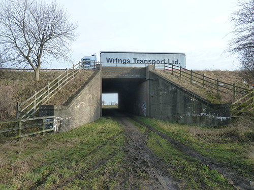
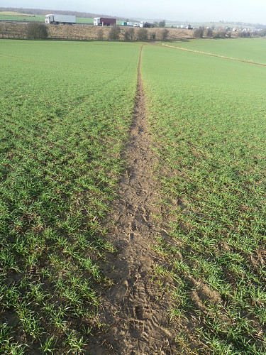
I walked alongside the M1 initially before crossing a field towards Woodall, turning to watch trucks, lorries and other vehicles hurtling along the motorway behind me ...

Killamarsh and the Cuckoo Way ...  


Killamarsh and the Cuckoo Way ...

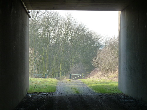
No sooner had I got into the small village of Woodall than I was walking out of it to pass under the M1 again and head into Nor Wood, over half a mile south of where I first saw the wood ...

Killamarsh and the Cuckoo Way ...   

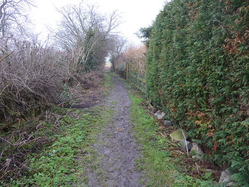
A bridleway led through the trees ...

Killamarsh and the Cuckoo Way ...

Killamarsh and the Cuckoo Way ...  

Killamarsh Pond looked serene in the winter sunshine ...

Killamarsh and the Cuckoo Way ...  


Killamarsh and the Cuckoo Way ...  

After struggling to follow a path through the outbuildings of a large farm I could see Killamarsh below ...

Killamarsh and the Cuckoo Way ...  

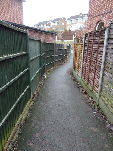
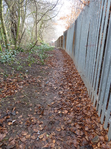
Then I was back to following a path beside high fences ...

Killamarsh and the Cuckoo Way ...


This walk was followed on the 17th January 2011
 
Length of walk ~ 5.07 miles *
 
Total mileage walked so far in 2011 ~ 20.87 miles
 
Total mileage between the 1st September 2009 and the 17th January 2011 ~ 549.92 miles
 
5 of 2011
 
* distance calculated on Ordnance Survey's Getamap

Wednesday, 7 November 2012

Cromford Canal ~ temporary towpath closure

I was walking along the towpath beside Cromford Canal this morning before discovering that part of it is closed for the whole of November.

It was enough to put me off and I took a few photos instead.

The closed section runs from Aqueduct Cottage as Derbyshire County Council call it [I've always known it as Wayfarers Cottage] to Gregory Tunnel. It's being closed whilst a works depot is being demolished.

Whilst I was stood there taking the photo four cyclists came up having ridden along the closed path. They removed the fence, came through and then put the fencing back in place ...

Cromford Canal towpath

Before anyone points out that there are only two cyclists in the photo perhaps I should add that the other two are a little way away along the towpath, behind them.

This is the first time I have uploaded a photo from my phone to Flickr and then to Blogger. I'm quite impressed though I will stick to the camera generally. Still, the photo also went to Facebook and Twitter almost immediately ... or it would have done if the signal had been better !

Sunday, 14 October 2012

I spy a Cavalier ...

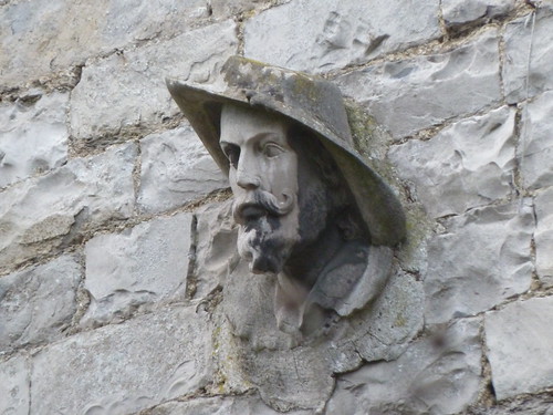
Stand at the north-western end of Fennel Street in Ashford in the Water and opposite The Elms is a house half-hidden by a hedge. If you can peep over the hedge then you may get a glimpse of this ...

Around Ashford in the Water ...

... on the front of the building. Now, to me, he looks like a Cavalier but why he's on the front of the house I have no idea. Anyone else know ?

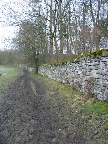
Walk up Vicarage Lane and cross the end of Pennyunk Lane until you can take a path on your right across one field. This enables you to cross the B6465 and follow a path through more fields towards Longstone Lane. This path can get muddy in wintertime ...

Around Ashford in the Water ...
   
Sometimes it gets too sludgy as does the path on the opposite side of Longstone Lane. The good thing about this latter path is that it brings you to the Monsal Trail. The only problem there are the bikes ... but assuming you can avoid them [and they can avoid you] head eastwards until you reach the bridge over Longreave Lane. At this point you can leave the Trail and pass under the bridge to cross the A6020. 

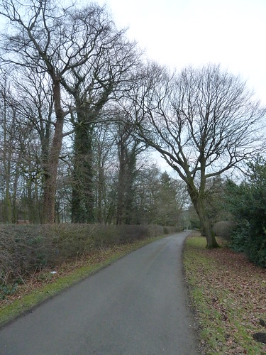
Cross the road carefully here because many of the cars hereabouts are hellbent on getting where they're going at least five minutes sooner than they have to be there. Take the private drive [which is also a public footpath] leading towards Churchdale Farm ...

Around Ashford in the Water ...

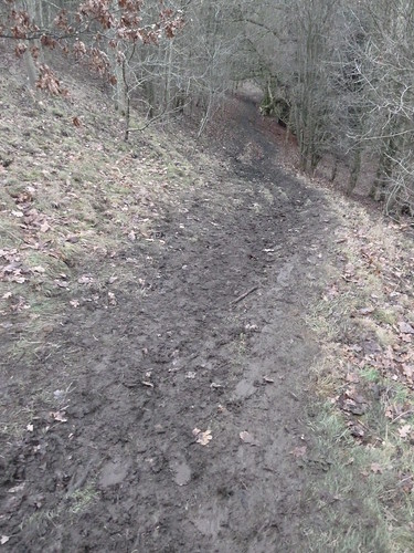
Beyond the hall, which you get a glimpse of to your right, the path descends down one of those banks which is easier to walk up than down ... especially when it's muddy.

Around Ashford in the Water ...

Towards the bottom of the bank there used to be an impressive though rather daunting tree looming over all pedestrians ...

Around Ashford in the Water ...


Around Ashford in the Water ...

Since these photos were taken I believe this old tree has fallen down.

The path rejoins the A6020 and then you're just a few hundred yards along a pavement to reach Ashford in the Water again.

Just the sort of short walk if you're not too sure about how far you feel like walking. 

This walk was followed on the 2nd January 2011

Length of walk ~ 3 miles *

Total mileage walked so far in 2011 ~ 5.2 miles

Total mileage between the 1st September 2009 and the 2nd January 2011 ~ 534.25 miles

2 of 2011

* distance calculated on Ordnance Survey's Getamap