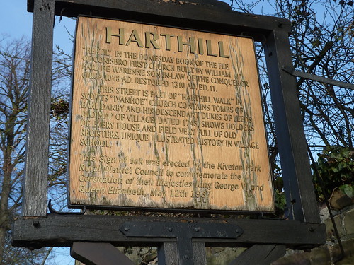
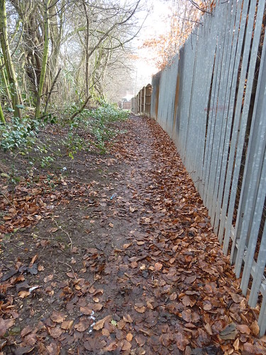
One of my maternal ancestors has something to do with Harthill but I can't remember who or even what. I was, though, interested to see what the village was like when I parked outside the church in the 2011 sunshine.
I passed All Hallows Church. The village website ~ Harthill-village.com ~ states that the "church was valued at £1.25 million for insurance purposes in 1999, compared to £689 in 1831. Presumably given rocketing property prices the 2003 valuation must be much higher. Culturally though, it is irreplaceable, a link back through 1,000 years of history." I've never thought of a church being valued in that fashion before ...
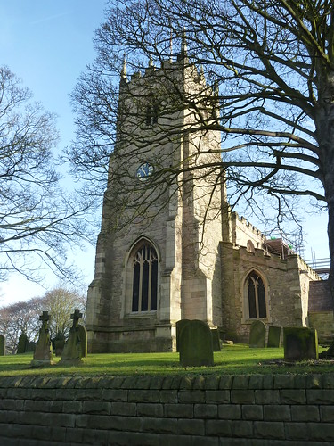
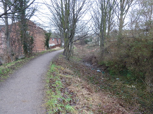
At the northern edge of Harthill I left Hard Lane to walk on a hard path, twas frozen !
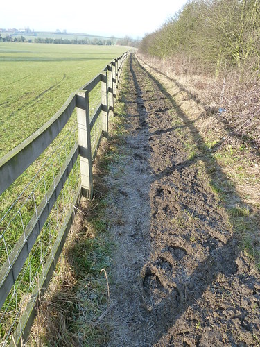
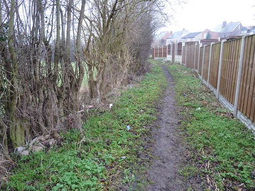
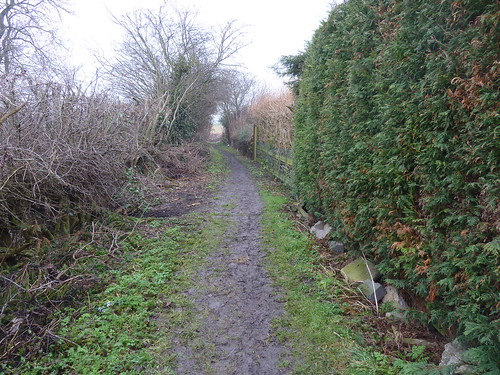
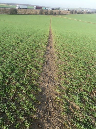
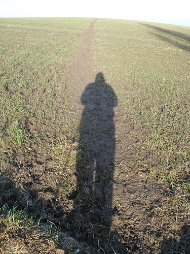
On reaching Walseker Lane I looked back along the muddy path I'd just used ...
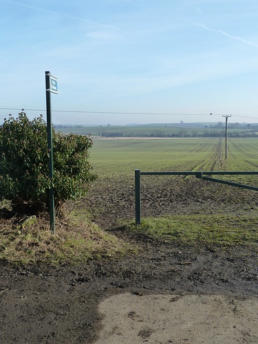
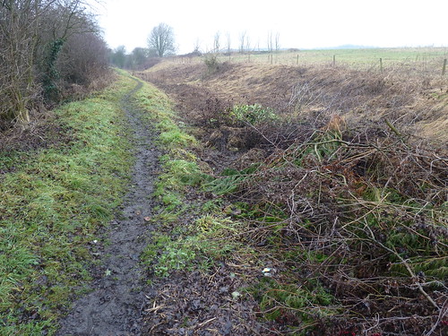
The ground had started to thaw !
Wind turbines are a bit like Marmite, people either love them or hate them. I think they're really interesting from a photographic point of view ... or is that just me ?
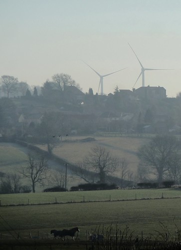
I walked along the lane into the small village of Woodall and followed the path towards the top of Baugy Hill [what a great name for a hill] ...
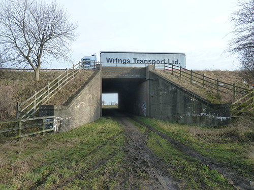
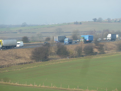
From the top of the hill I renewed my acquaintance with the M1 ...
A quarter of a mile later with the M1 much nearer, on my left, I had a choice of routes ...
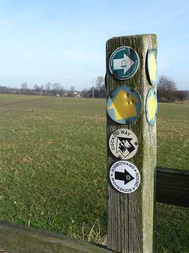
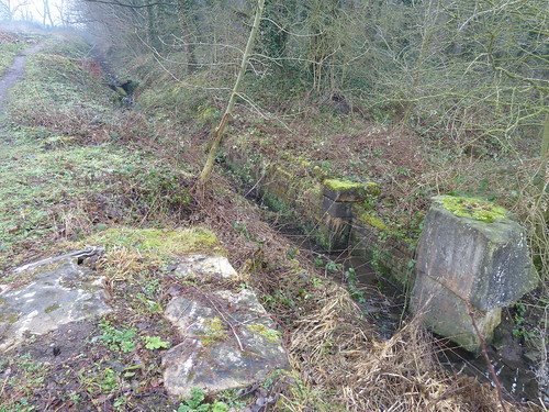
I followed the Cuckoo Way, obviously, intially alongside a disused railway line though somewhere beneath my feet was Norwood Tunnel.
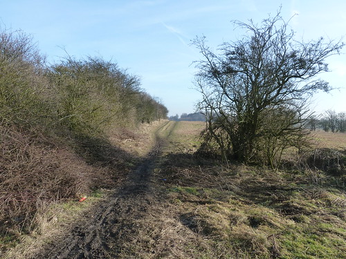
Norwood Tunnel, 2800 yards long, collapsed in 1908 and resulted in the Chesterfield section of the Chesterfield Canal being closed.
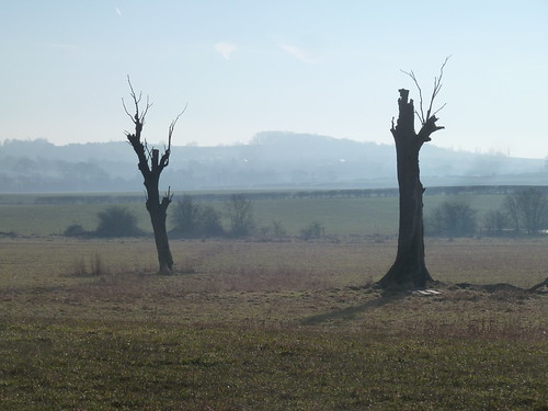
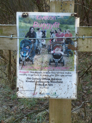
I could see that it wasn't just me who was trying to stay fit when I reached Kiveton Park ...
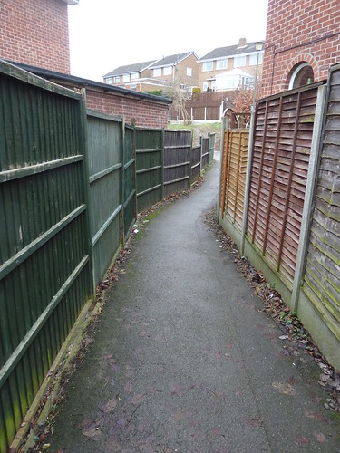
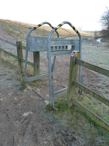
Many paths and trails near to built up areas receive unwelcome attention hence the need for this sort of contraption [what's it called ?] and which presumably attempts to stop bikers misusing local amenities ...
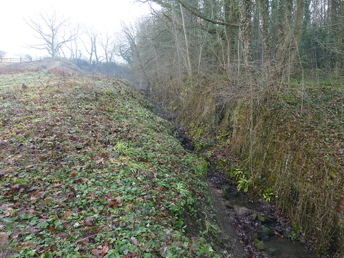
There's been some land reclamation in this area but no matter how they try it never quite looks natural does it ... perhaps in time it will [and it looks better than an old slag heap] ...

As you can see the bikers seem to have found a way in.
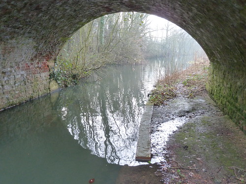
Finally after negotiating some 'plain' scenery I reached the eastern portal of Norwood Tunnel !
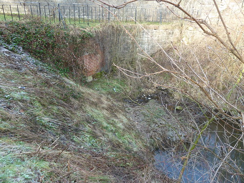
You can see the bricked up portal below.
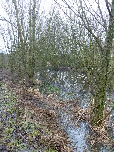
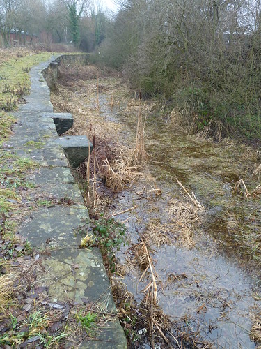
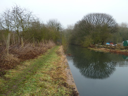
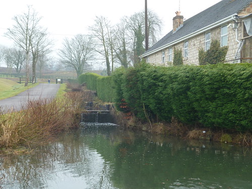
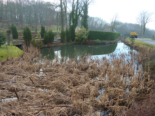
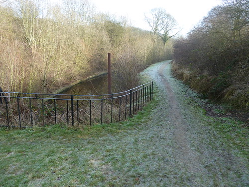
It was good to walk beside the canal again. From here to the River Trent the whole of the watercourse is intact.
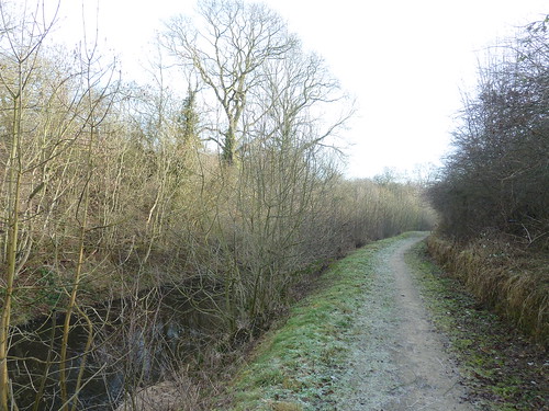
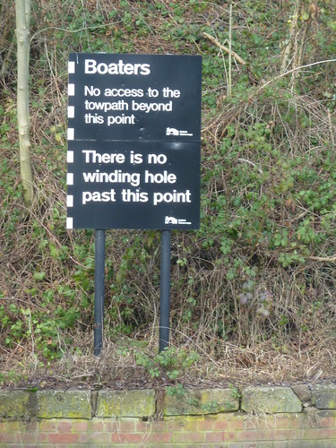
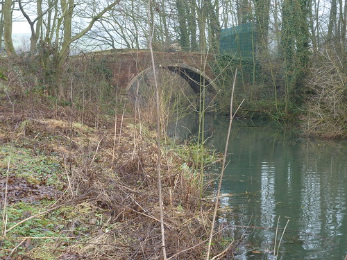
Ahead was the bridge carrying Packman Lane over the canal ...

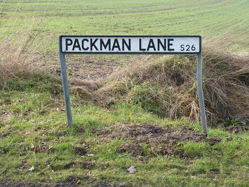
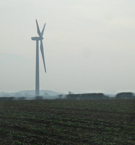
I walked due south on Packman Lane for a good mile. Not a scenic lane by any means ... nothing much of interest on a dull January day ... except for those wind turbines ...

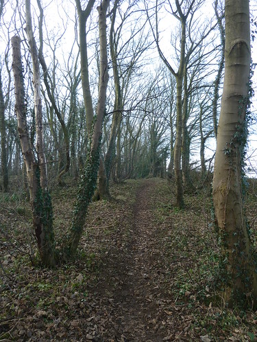
With Loscar Wood on my right I left Packman Lane and walked towards and then through a narrow wood along a well used path which was good to see ...

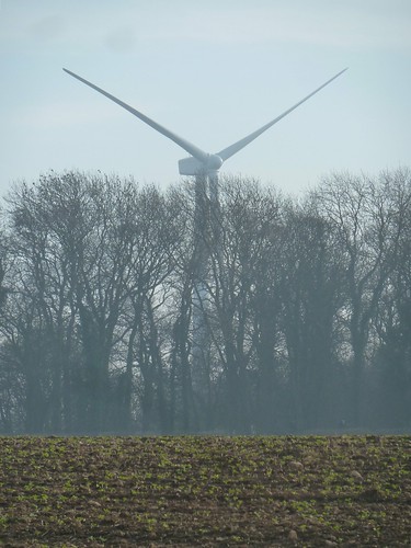
As I edged towards Harthill I took one last look behind me at the wind turbine which appeared to be rising out of the trees ...
The Long Distance Walkers Association [which doesn't appear to bother with an apostrophe] state that the Cuckoo Way is a "walk along the 220-years-old Chesterfield Canal, known locally as the Cuckoo Dyke. It ceased to be used commercially in the 1950s. Efforts are being made to restore the canal, but in some places the path is overgrown and occasionally difficult to find on the ground. The path passes through, or close to, Staveley, Worksop and Retford."
This walk was followed on the 31st January 2011
Length of walk ~ 5.86 miles *
Total mileage walked so far in 2011 ~ 38.49 miles
Total mileage between the 1st September 2009 and the 31st January 2011 ~ 567.54 miles
11 of 2011
* distance calculated on Ordnance Survey's Getamap

