My seventh walk following the Cromford Canal was undertaken on a rather dull day nearly two years ago. That is very hard to believe.
There's a car park beside Codnor Park Reservoir ...
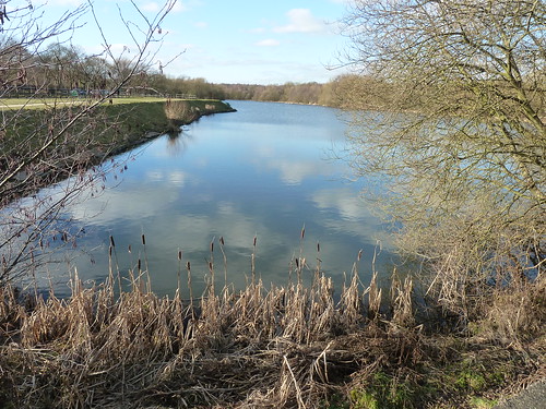
... and from there I took a path on the northern side of the reservoir to get back to where I left Cromford Canal on the sixth day ...

Once I'd reached the Newlands Inn [or what remains of it] I turned back and walked alongside the old canal once more ...
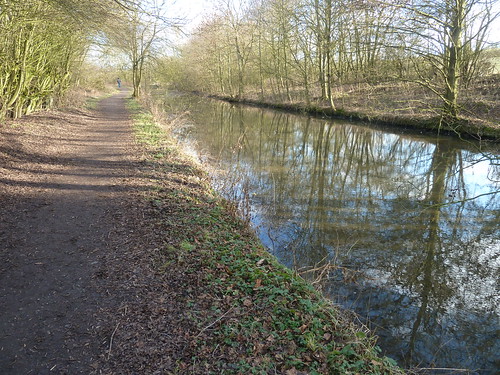
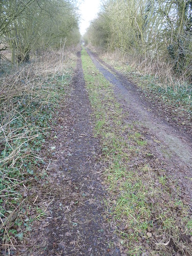
Initially the canal was less than impressive, as you can see above, but as I got back towards Codnor Park Reservoir it began to look more like a canal.
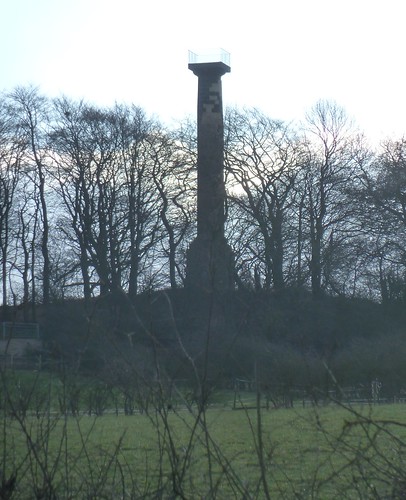
As I walked along the southern side of the reservoir to my right, on the hill, was the Jessop Monument ...
At the eastern end of the reservoir is a redundant bridge ...
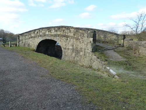
The three mile long Pinxton Arm of the canal used to pass under this. Behind me as I took the above photograph is the canal itself ...
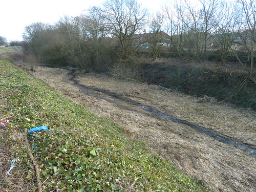
It was rather lacking in water.
A little further along, still on the edge of Ironville, you reach the remains of a lock ...

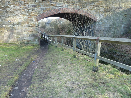
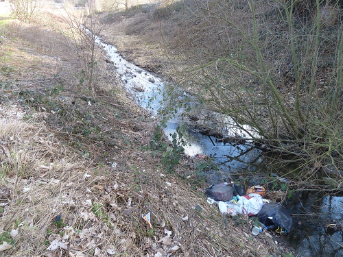
Some local people seem to believe the section beyond the bridge is a rubbish dump ...
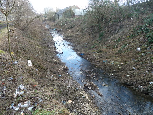
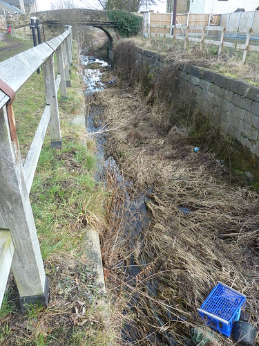
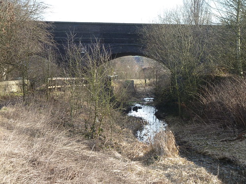
I was heading down to the railway bridge where the canal wasn't so much maltreated as just overgrown ...
Passing under the bridge the canal still appeared neglected ...
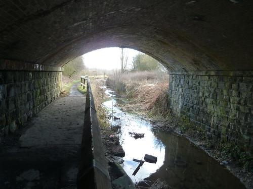
It's rather different from the canal at the Cromford end isn't it.
Beyond the railway bridge I turned around and looked back ...

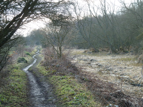
I was heading almost due south now ... and I was in Nottinghamshire ...
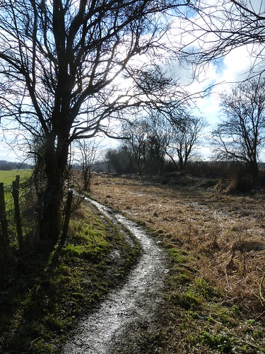
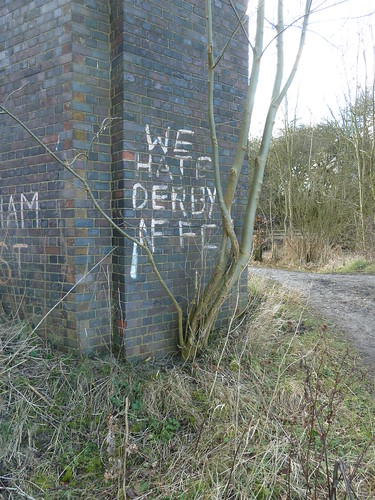
I could tell I was in Nottinghamshire by the graffiti ...
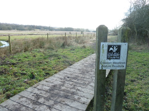
I'd reached the edge of Derbyshire Wildlife Trust's Erewash Meadows Reserve ...
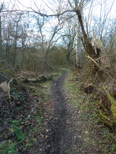
This is where I started to head back after crossing the footbridge over the railway line and walking northwards ...
This walk was followed on the 28th January 2011
There's a car park beside Codnor Park Reservoir ...

... and from there I took a path on the northern side of the reservoir to get back to where I left Cromford Canal on the sixth day ...

Once I'd reached the Newlands Inn [or what remains of it] I turned back and walked alongside the old canal once more ...
Initially the canal was less than impressive, as you can see above, but as I got back towards Codnor Park Reservoir it began to look more like a canal.

As I walked along the southern side of the reservoir to my right, on the hill, was the Jessop Monument ...

At the eastern end of the reservoir is a redundant bridge ...

The three mile long Pinxton Arm of the canal used to pass under this. Behind me as I took the above photograph is the canal itself ...

It was rather lacking in water.
A little further along, still on the edge of Ironville, you reach the remains of a lock ...


Some local people seem to believe the section beyond the bridge is a rubbish dump ...


I was heading down to the railway bridge where the canal wasn't so much maltreated as just overgrown ...

Passing under the bridge the canal still appeared neglected ...

It's rather different from the canal at the Cromford end isn't it.
Beyond the railway bridge I turned around and looked back ...

I was heading almost due south now ... and I was in Nottinghamshire ...


I could tell I was in Nottinghamshire by the graffiti ...

I'd reached the edge of Derbyshire Wildlife Trust's Erewash Meadows Reserve ...

This is where I started to head back after crossing the footbridge over the railway line and walking northwards ...


This walk was followed on the 28th January 2011
Length of walk ~ 4.12 miles *
Total mileage walked so far in 2011 ~ 31.67 miles
Total mileage between the 1st September 2009 and the 28th January 2011 ~ 560.72 miles
9 of 2011
* distance calculated on Ordnance Survey's Getamap
