Most of the buildings of Matlock lie on the northern side of the River Derwent. On the southern side Masson Hill rises high up the town ...
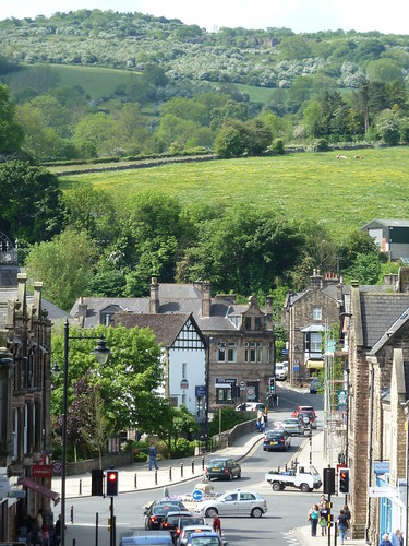
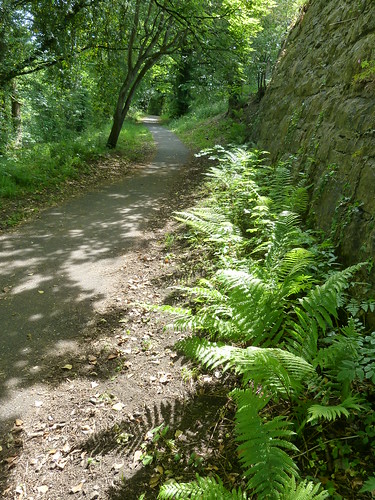
The Derwent Valley Heritage Way follows a riverside path into the town ...
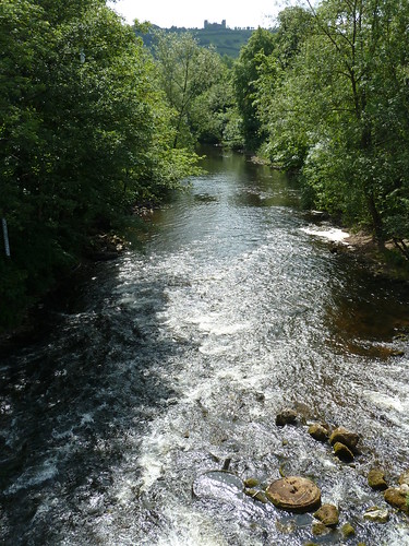
From the old stone bridge crossing the Derwent look downstream and you will see 19th century Riber Castle rising high above the town ...
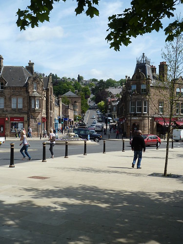
Turn to your left at this point and you get a view of Bank Road rising up from Crown Square. In the late 19th and early 20th centuries a tramway ran up the hill and down again, taking visitors to and from the hydros on the hillside ...
A walk alongside the River Derwent brings you to Knowleston Place with some of the earliest dated houses in the town ...
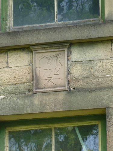
The property above is now an outhouse ... with a very fine date stone.
Keep left beside the river from Knowleston Place and follow the riverside path ...
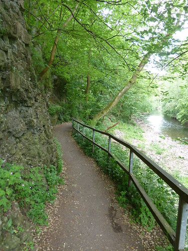
This soon brings you to the bottom of Pic Tor ...
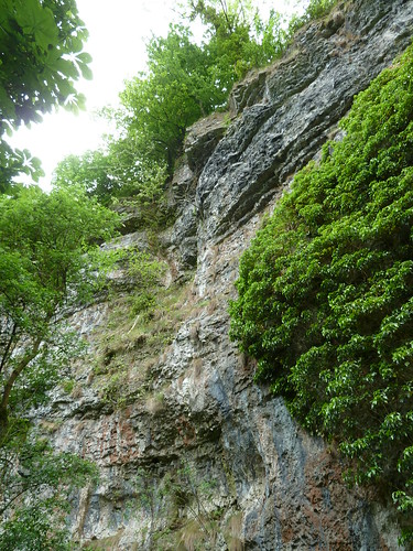
Verious path options present themselves ...
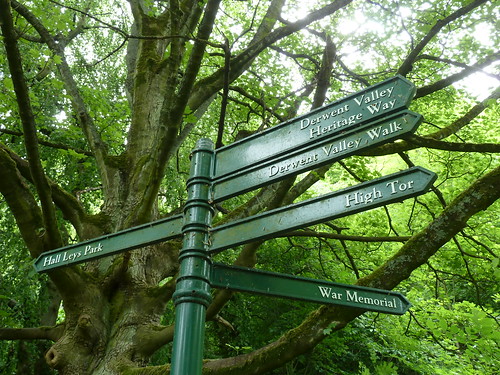
One day a couple of years ago I decided to follow the path up to High Tor ... and there were plenty of warnings to keep to the path ...
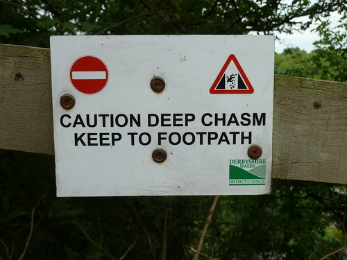
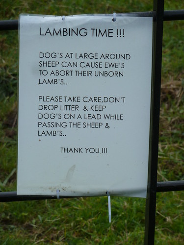
Another sign shortly afterwards wasn't quite so professional ...
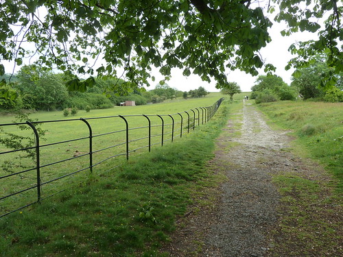
The path ran alongside a fence on the left with a big drop [out of sight] on the right ...
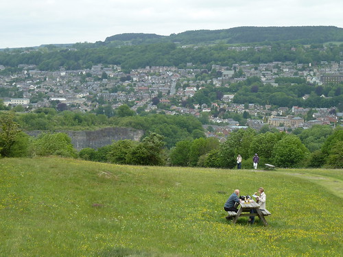
On reaching High Tor there's a great view looking back towards Matlock in the distance ...
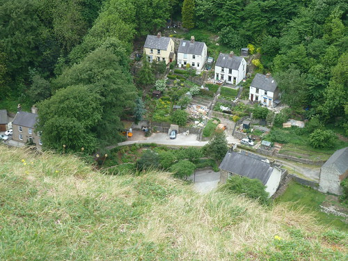
In between there's the big drop down to the A6 and the surrounding houses of course.
Another warning sign !
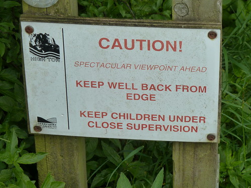
The spectacular viewpoint is, of course, High Tor which rises high above the River Derwent. Just beyond the tor is a path leading down to Giddy Edge ...

A thin metal handrail attached to the limestone on your left is all you have to hold on to as you walk above the river and the A6 one hundred yards or so below. I have a noisy video of the path which I will not inflict upon you.
Eventually I zig-zagged down to Matlock Bath and the Derwent ...
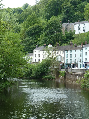
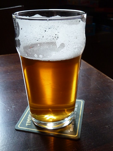
I called in at the Princess Victoria for a pint ...
Adequately refreshed I then climbed back out of the valley ...

As I picked my way along a narrow woodland path the cable car rising to the Heights of Abraham passed overhead ...
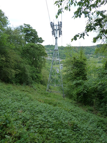
I was now well away from the noise coming from Matlock Bath and its visitors ...
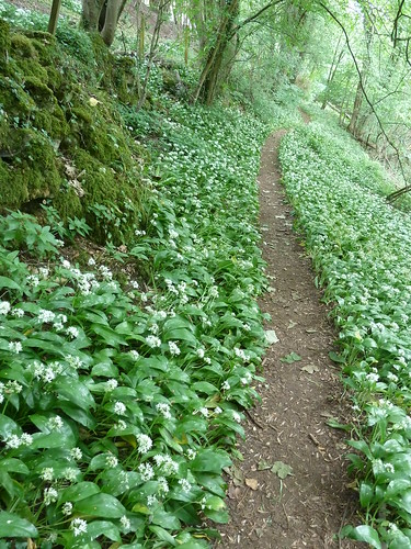
Tucked away in the woods above Artists' Corner between Matlock and Matlock Bath is St. John's Chapel. Most of the visitors to the area probably won't be aware of its existence. Indeed without some help from Friends of Friendless Churches the chapel might have fallen into disrepair by now ...
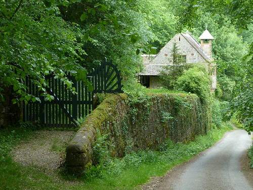
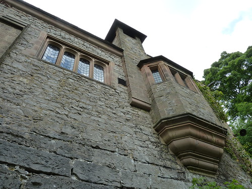
Through a gap in the trees I was able to glimpse High Tor across the valley ...
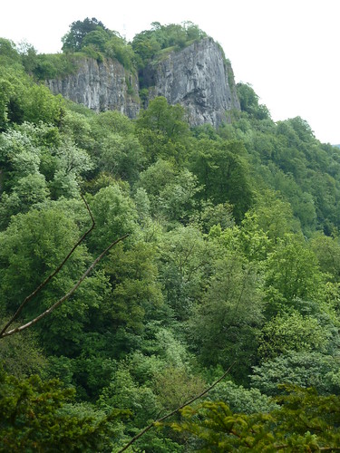
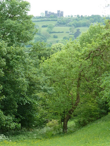
A hundred yards or so later Riber Castle was visible ...
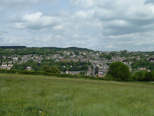
As I walked across the field, back towards Matlock, I reflected upon a walk full of marvellous scenery ...
This walk was followed on the 21st May 2011
Length of walk ~ 4.73 miles *
Total mileage walked so far in 2011 ~ 196.16 miles
Total mileage between the 1st September 2009 and the 21st May 2011 ~ 717.90 miles
43 of 2011 [which means in 2011 I was still averaging just over 4.5 miles a walk.]
* distance calculated on Ordnance Survey's Getamap

The Derwent Valley Heritage Way follows a riverside path into the town ...

From the old stone bridge crossing the Derwent look downstream and you will see 19th century Riber Castle rising high above the town ...

Turn to your left at this point and you get a view of Bank Road rising up from Crown Square. In the late 19th and early 20th centuries a tramway ran up the hill and down again, taking visitors to and from the hydros on the hillside ...

A walk alongside the River Derwent brings you to Knowleston Place with some of the earliest dated houses in the town ...

The property above is now an outhouse ... with a very fine date stone.
Keep left beside the river from Knowleston Place and follow the riverside path ...

This soon brings you to the bottom of Pic Tor ...

Verious path options present themselves ...

One day a couple of years ago I decided to follow the path up to High Tor ... and there were plenty of warnings to keep to the path ...

Another sign shortly afterwards wasn't quite so professional ...

The path ran alongside a fence on the left with a big drop [out of sight] on the right ...

On reaching High Tor there's a great view looking back towards Matlock in the distance ...

In between there's the big drop down to the A6 and the surrounding houses of course.

Another warning sign !

The spectacular viewpoint is, of course, High Tor which rises high above the River Derwent. Just beyond the tor is a path leading down to Giddy Edge ...

A thin metal handrail attached to the limestone on your left is all you have to hold on to as you walk above the river and the A6 one hundred yards or so below. I have a noisy video of the path which I will not inflict upon you.
Eventually I zig-zagged down to Matlock Bath and the Derwent ...

I called in at the Princess Victoria for a pint ...

Adequately refreshed I then climbed back out of the valley ...

As I picked my way along a narrow woodland path the cable car rising to the Heights of Abraham passed overhead ...

I was now well away from the noise coming from Matlock Bath and its visitors ...

Tucked away in the woods above Artists' Corner between Matlock and Matlock Bath is St. John's Chapel. Most of the visitors to the area probably won't be aware of its existence. Indeed without some help from Friends of Friendless Churches the chapel might have fallen into disrepair by now ...


Through a gap in the trees I was able to glimpse High Tor across the valley ...

A hundred yards or so later Riber Castle was visible ...

As I walked across the field, back towards Matlock, I reflected upon a walk full of marvellous scenery ...

This walk was followed on the 21st May 2011
Length of walk ~ 4.73 miles *
Total mileage walked so far in 2011 ~ 196.16 miles
Total mileage between the 1st September 2009 and the 21st May 2011 ~ 717.90 miles
43 of 2011 [which means in 2011 I was still averaging just over 4.5 miles a walk.]
* distance calculated on Ordnance Survey's Getamap

