Saturday, 4 May 2013

A Farm Journal ~ from the 13th to the 30th November 1868 ...

My great great great uncle John Bayliff Bowman lived at Summer Hill, near Monyash in the County of Derby. 

The Bowman family, who were Quakers, had three farms, One Ash Grange [which John Bayliff Bowman often referred to as O.A.], Cales and Summer Hill [which he usually referred to as S.Hill or S.H.]

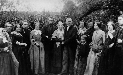
John Bayliff Bowman is fourth from the left in the photo below ...
 
The Bowman family

 A Farm Journal continues :~
 
6 - 13 to 6 - 20 Very fine mild weather for time of year lead all swedes home at S.H. & began to pit corn ones fair crop of Scotch yellows but only about 3/4 ac[re] of them
 
7 - 21 Very sharp frosty night rimed & misty dull day W. South at night & no frost cow calf dead of Speed at Cales - plough[in]g lime in Pewet Knobs - sending two cans of milk every day to Manchester 2/4 p[e]r doz[en] 11 to 12 doz[en] p[e]r day SA & children & Ann to Ashford
 
1 - 22 Very wet day
 
2 - 23 Fine
 
3 - 24 Ditto Nomination day at B[akewe]ll Cavendish & Jackson Liberals Arkwright conservatives - a crowded Bakewell & a bit of skirmishing in aft[ernoo]n
 
4 - 25 Fine
 
5 - 26 Ditto sale at Isaac Grindy's Oldhams [began to plough Intake Ley] very good sale of an excellent stock of Dairy cows bo[ugh]t 1 £12  - calves 4 mo 19 - W[illia]m bo[ugh]t 3 - sheep poorish lot but sold well
 
6 - 27 Fine day Polling day at B[akewe]ll excited day but orderly suppose Cavendish & Arkwright are the elected
 
7 - 29 beautiful day frosty night - cutt[in]g swedes in Watricle - plough[in]g etc
 
1 - 30 [no entry other than date] 
 

Friday, 3 May 2013

The Cuckoo Way ~ the ninth day ... I have company and we walk up the middle of the A1 ! No ... really.

Some two and a half years ago, a walk similar to this was going to be included in my next pub walks books ... the pub walks book that never was. The walk had one major drawback ~ crossing the A1. Now I don't mind crossing roads personally but the thought of a stream of my readers negotiating such a busy road would probably not have done much good for my sleep patterns.

Let me show you ...


This was only half the crossing ! We'd already crossed the southbound carriageway and then you see us walking along the footpath that runs between crash barriers between both carriageways. An interesting experience ~ goodness knows what motorists and lorry drivers thought when they saw Jamie and me walking up the centre of such a busy road.

The main thing is we made it ... the book didn't.

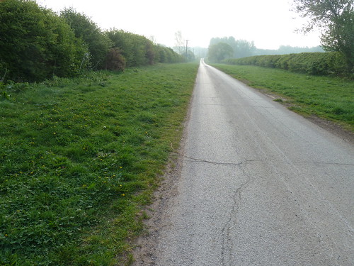
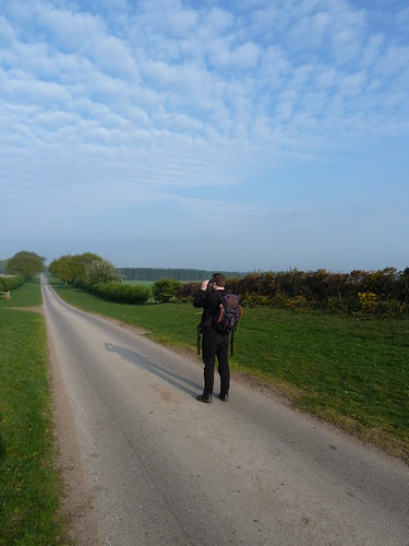
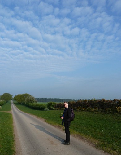
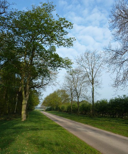
We started off parked near the pub in Ranby a few miles to the east of Worksop in Nottinghamshire. After crossing the A1 things got a lot quieter. In the lovely Spring sunshine we saw Thievesdale Lane stretching away in front of us for a mile or more ...

A 9th walk featuring the Cuckoo Way ...


A 9th walk featuring the Cuckoo Way ...

A 9th walk featuring the Cuckoo Way ... 

After a mile we had Coachroad Plantation on our left ...

A 9th walk featuring the Cuckoo Way ...

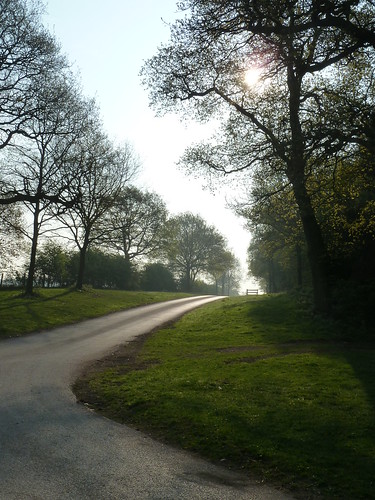
 As we turned the corner, now heading southwards, I looked back along Thievesdale Lane as the sun tried to push its way through the trees ...

A 9th walk featuring the Cuckoo Way ...

Unlike the area I come from, Nottinghamshire had quite a few RAF airfields during World War II and RAF Worksop was one of them. There's an excellent and interesting website here ... worth looking at for the photographs alone.

Jamie suggested I imitate a plane coming into land as we passed over where RAF Worksop had been ... I'm not too sure about my aerodynamics. Too much underbelly.

A 9th walk featuring the Cuckoo Way ...

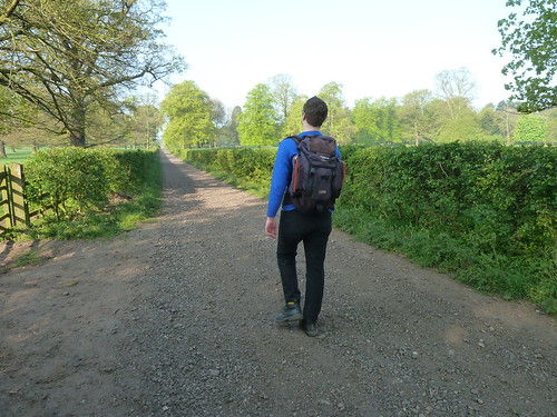
  Once we'd reached the hamlet of Scofton we turned right heading westwards towards Worksop. The sun still shone. It was a beautiful day. Another straight Nottinghamshire footpath stretched out ahead of us ...

A 9th walk featuring the Cuckoo Way ...

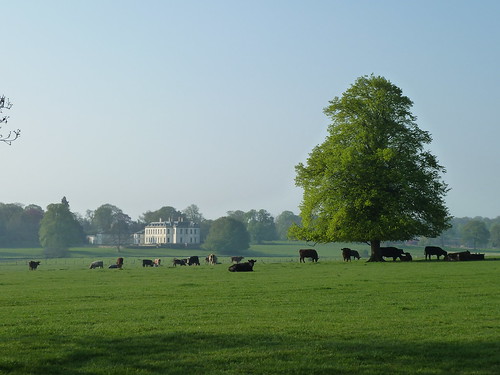
Some of the cattle were taking advantage of the shelter provided by a large tree in front of Osberton Hall ...

A 9th walk featuring the Cuckoo Way ...

 The gravel path continued ...

A 9th walk featuring the Cuckoo Way ...

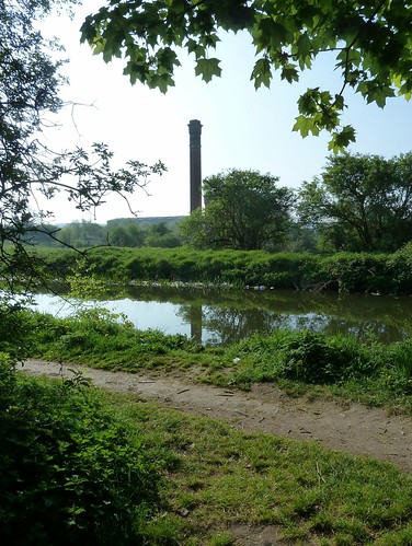
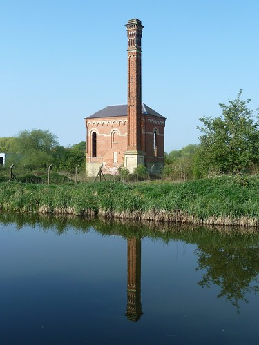
Then 'almost' before we knew it we were walking beside the Chesterfield Canal again and passing Bracebridge pumping station ...

A 9th walk featuring the Cuckoo Way ...
 
A 9th walk featuring the Cuckoo Way ...
  
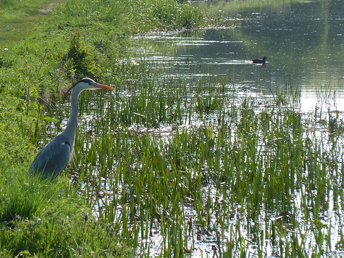
Ahead of us, in the reeds, we espied a master fisher ...

A 9th walk featuring the Cuckoo Way ...

 Not all was beauty and light ...

A 9th walk featuring the Cuckoo Way ...

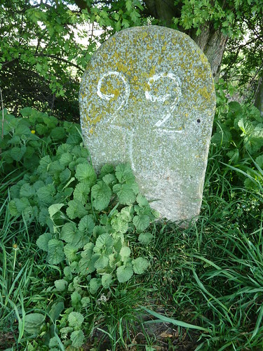
 We reached milestone 22, 22 miles from Chesterfield ...

A 9th walk featuring the Cuckoo Way ...

  You know what I said above about this walk not being all beauty and light ...

A 9th walk featuring the Cuckoo Way ...

 A 9th walk featuring the Cuckoo Way ...

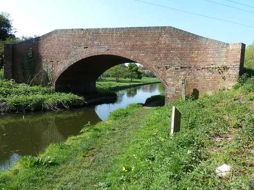
 We reached Bridge 45. The further we got from Worksop the 'quieter' things became ...

A 9th walk featuring the Cuckoo Way ...

A 9th walk featuring the Cuckoo Way ...  

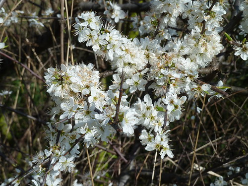
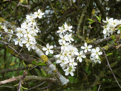
The white flowers of the Blackthorn were in bloom. A shrub that flowers before its leaves are out.

A 9th walk featuring the Cuckoo Way ...  

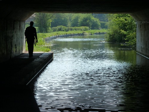
We passed under a new road. Jamie's is just over 6 feet tall. He just managed not to scalp himself ...

A 9th walk featuring the Cuckoo Way ...

 Milestone 23 was next ...

A 9th walk featuring the Cuckoo Way ...

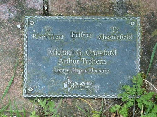
 ... the half way point !

A 9th walk featuring the Cuckoo Way ...

 We were getting near Osberton ...

A 9th walk featuring the Cuckoo Way ...

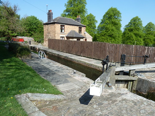
 At Osberton Lock you can cross the canal and head back to Scofton but we stayed beside the canal ...

A 9th walk featuring the Cuckoo Way ...

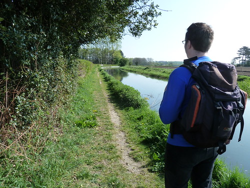
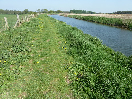
 There were no hills on this walk. It was all pretty easy going, easy walking ...

A 9th walk featuring the Cuckoo Way ...

 On the edge of Ranby the canal passes under the A1. This time negotiating the dual carriageway was much safer ...

A 9th walk featuring the Cuckoo Way ...

 Soon after this we were back in Ranby and able to cross the canal back to our car ...

A 9th walk featuring the Cuckoo Way ...  

This walk was followed on the 18th April 2011
 
Length of walk ~ 9.58 miles *
 
Total mileage walked so far in 2011 ~ 122.89 miles
 
Total mileage between the 1st September 2009 and the 18th April 2011 ~ 650.94 miles

  27 of 2011 [which means in 2011 I was averaging just over 4.5 miles a walk.]
 
* distance calculated on Ordnance Survey's Getamap

Monday, 29 April 2013

A Farm Journal ~ from the 1st to the 12th November 1868 ...

My great great great uncle John Bayliff Bowman lived at Summer Hill, near Monyash in the County of Derby. 

The Bowman family, who were Quakers, had three farms, One Ash Grange [which John Bayliff Bowman often referred to as O.A.], Cales and Summer Hill [which he usually referred to as S.Hill or S.H.]

John Bayliff Bowman is fourth from the left in the photo below ...
 
The Bowman family

 A Farm Journal continues :~
 
1 - 1st Fine
 
2 - 2 Windy & showery but no frost
 
4 - 4 Ditto Self & Wm & Eliz[abe]th to Matlock M[onthly] M[eetin]g & home again pleasant visit dined [word could not be deciphered] Worralls [or is it Morralls ?]
 
5 - 5 Very thundery day hail storms frequently ground white over
 
6 - 6 Very sharp frost & snow fine bright day put tups to ewes & thieves 201 & 15 lambs to tup foddered heifers in intake etc barren cows from Cales & incalves to Cales began to give cake etc & sent 3 doz[en ?] of milk to Manchester with Eben's lot
 
7 - 7 More snow very frosty bright day cake from P[arsley] Hay
 
1 - 8 Ditto
 
2 - 9 Milder B[akewe]ll market things low - took 20 sturks & 11 bullocks to Wm's at Middleton [6 of Wms sturks also] to Mansfield
 
3 - 10 Fine day milder & snow gone beasts started at midnight - self off by 9 o'clock train to Ambergate & then on to Alfreton - found beasts had gone on so took a gig & caught them a little on this side Sutton all right - got a glass of beer & then walked on with them - parted in Sutton - one lot for Millns of Lindhurst & 20 sturks to Warsop Sam[ue]l Davy's - all right - stayed all night & on to Lindhurst in morn[in]g to look beasts & then home
 
5 - 12 Fine & mild - spread[in]g lime - plough[in]g etc began to cut weeds - I have 1st prize for Swedes  
 
 
Did the beasts walk all the way to Sutton [in Ashfield ?]. It rather sounds that way. Imagine a herd of cows being driven through the night. How many beasts were there ? Presumably 37 in view of the 9th November entry. How many men looked after them on the way ? 
 
The next entry covers the 13th to the 20th November 1868. 

Saturday, 27 April 2013

A walk from Cunnery Wood ...

Between Tansley and Dethick a small wood lies along the southern side of Cunnery Lane. It doesn't seem to be named on the OS Map though it is referred to as Cunnery Corner Wood on the Ordnance Survey website.

I've always known it as Cunnery Wood.

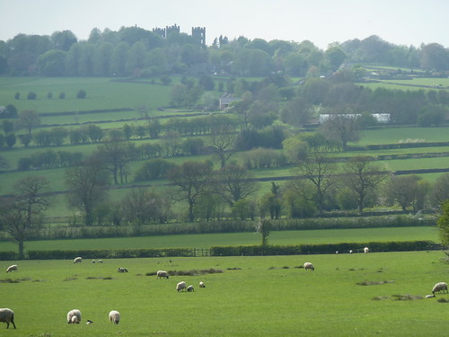
From the wood there's a view across the fields towards Riber Castle ...

A walk from Cunnery Wood ...  

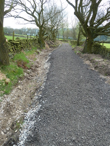
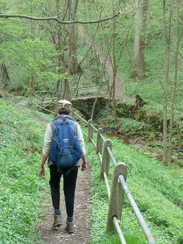
A bridleway [Wood Lane] runs from the western tip of the wood towards Mill Lane ...

A walk from Cunnery Wood ...  

It had been resurfaced when we were there ...

A walk from Cunnery Wood ...

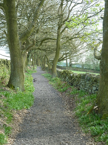
 The overhanging branches had been cut back ...

A walk from Cunnery Wood ...

 A walk from Cunnery Wood ...

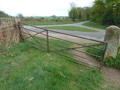
 We followed the lane [and others] into Lea and then took the footpath down into Swinepark Wood ...
A walk from Cunnery Wood ...

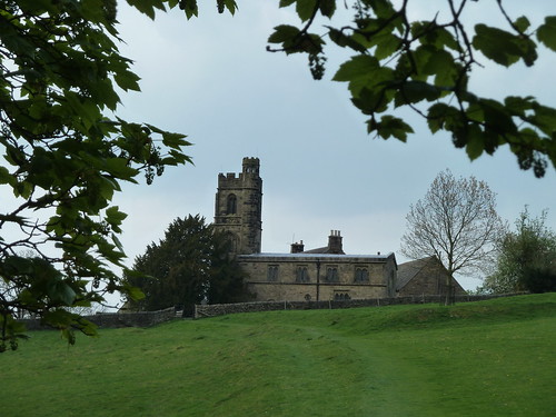
 This brought us to the little church at Dethick ...

A walk from Cunnery Wood ...

 The Church of St. John the Baptist dates back to the 13th century ...

A walk from Cunnery Wood ...

 Walk up Dethick Lane until you reach Shaw Lane coming in from Lea to the left and in the grass you'll find a gibbet stone ...

A walk from Cunnery Wood ...

  This was originally a crossroads and presumably the post that the gibbet hung from was placed in the stone and the remains of the poor unfortunate was left to rot in the gibbet itself ... to be pecked at by birds and eaten by insects ...

The gibbet stone is amongst the daffodils in the photo below ...

A walk from Cunnery Wood ...  

From the gibbet stone we took the old track known as Green Lane towards Cunnery Wood ...

A walk from Cunnery Wood ...

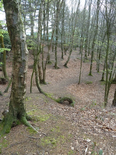
 We walked through Cunnery Wood back to the car ...

A walk from Cunnery Wood ...

This walk was followed on the 17th April 2011
 
Length of walk ~ 3.13 miles *
 
Total mileage walked so far in 2011 ~ 113.31 miles
 
Total mileage between the 1st September 2009 and the 17th April 2011 ~ 641.36 miles

  26 of 2011 [which means in 2011 I was averaging just under 4.36 miles a walk.]
 
* distance calculated on Ordnance Survey's Getamap

Friday, 26 April 2013

A Farm Journal ~ from the 17th to the 31st October 1868 ...

My great great great uncle John Bayliff Bowman lived at Summer Hill, near Monyash in the County of Derby. 

The Bowman family, who were Quakers, had three farms, One Ash Grange [which John Bayliff Bowman often referred to as O.A.], Cales and Summer Hill [which he usually referred to as S.Hill or S.H.]

John Bayliff Bowman is fourth from the left in the photo below ...
 
The Bowman family

There were no entries for the 14th, 15th and 16th October 1868.

 A Farm Journal continues :~
 
17th sold Jas Critchlow 4 Norfolk sows £4 15/- each

1 - 18 Very hard white frost

2 - 19 Ditto snow[e]d a little - sold Mountney L - 7 fat sheep 35/6 3/- again finish[in]g pudding pie in Mossfield plough[in]g fallows etc make 1 cheese a day at each place

3 - 20 Showery weather plough[in]g fill[e]d Kiln in Mossfield cut thistles in N[ethe]r Intake etc

5th - 22 Fine self to Wingfield to look hogs all well & on to Wessington Hay to look at an estate there 50 ac[res] on to Nott[ingha]m even[in]g to Lindhurst in morn[in]g to see about leying cattle & to Nott[ingha]m home on 

7th - 24 Very wet & desperate windy

2 - 26 Fine B[akewe]ll market very full of all sorts beef best sells well to 8/6 or 9/- Mutt[on] d6 - stone stirk only saleable at very low figures

3 - 27 blustery hail & rain at times

4 - 28  5 -29  6 - 30 Showery day Old Haven Fair cattle & sheep very low - ewes £1 each lambs sold pretty well 18/- to 22/-

6 - 30 Self took 4 tup lambs sold 23/- each 

7 - 31 Showery got Moss field Kiln out in Pewet Knobs  

Wednesday, 24 April 2013

Following the Cromford Canal ~ 8 ... Erewash Meadows and Stoneyford ... or the Remains of the Day.

My eighth walk using the Cromford Canal was perhaps slightly unusual as I didn't see any sign of the canal. Perhaps I need to be more observant ... it was still an interesting walk though.

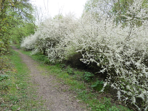
Parking near to the then deserted Stoneyford Lodge [which according to its sign offered Fine Ales and Good Food] I walked along Boat Lane [a clue perhaps that there had been a canal hereabouts ... once upon a time]. It was the middle of April and the blackthorn was in flower ...

An 8th walk based on Cromford Canal ...

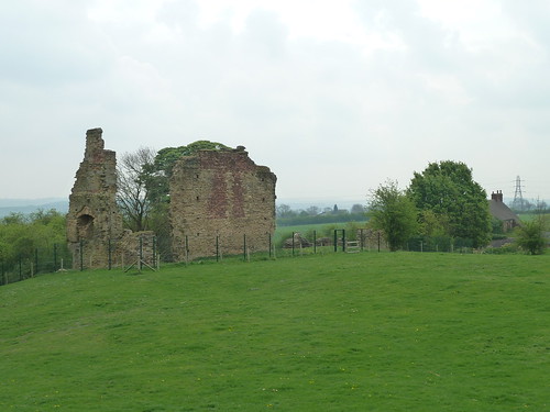
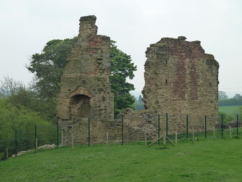
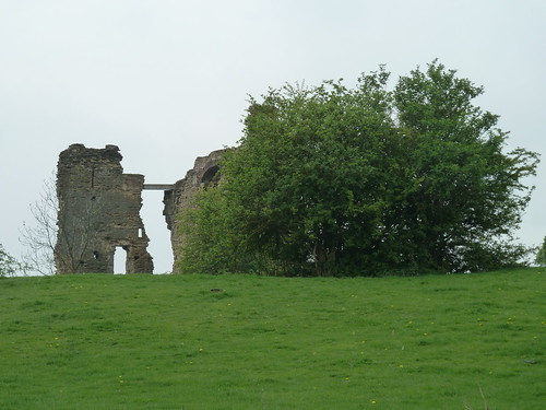
At the T-junction with Castle Lane I turned right and Castle Lane did indeed lead me to a castle, albeit the remains of one ... Codnor Castle to be precise ...

An 8th walk based on Cromford Canal ...

It was built in the 13th century by Henry de Grey ...

An 8th walk based on Cromford Canal ...

... and is rather dilapidated ...

An 8th walk based on Cromford Canal ...

Fortunately the Codnor Castle Heritage Trust is doing its best to try and preserve the site and find out more about it. There's a website here which is worth looking at and includes some photographs of the dovecote that the Heritage Trust reports "was demolished in 1968 by Mr Bernard Swain" as well as the Time Team dig which found a Henry V Gold Noble. This coin was found by a metal detectorist rather than the diggers ! Worth a look.

 My walk continued northward ...

An 8th walk based on Cromford Canal ...

 ... before swinging eastward to follow a path alongside Foxhole Plantation, south of Ironville ...

An 8th walk based on Cromford Canal ...

An 8th walk based on Cromford Canal ...

An 8th walk based on Cromford Canal ...

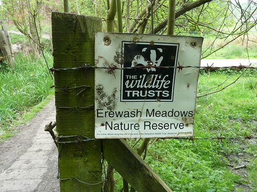
 I reached Erewash Meadows where I'd left the canal on my seventh walk along it ...

An 8th walk based on Cromford Canal ...

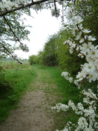
 It was now, as I headed south, that the canal [or signs of the canal] should have been visible. Perhaps I should have been satisfied with the straight path which had presumably originally been the towpath ...

An 8th walk based on Cromford Canal ...

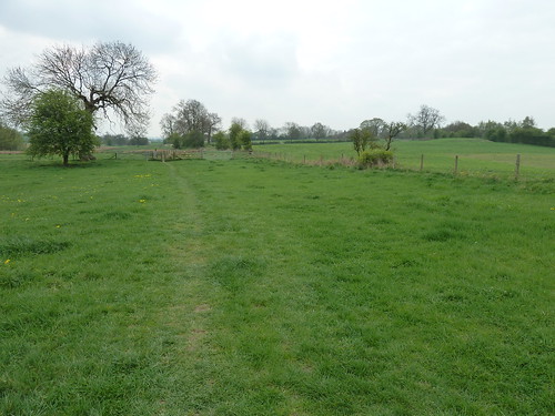
 On it went, through the pleasant grassy fields ...

An 8th walk based on Cromford Canal ...

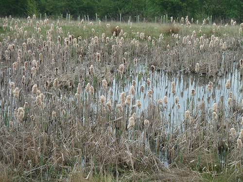
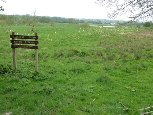
 ... until I was walking alongside Aldercar Flash Nature Reserve ...

An 8th walk based on Cromford Canal ...

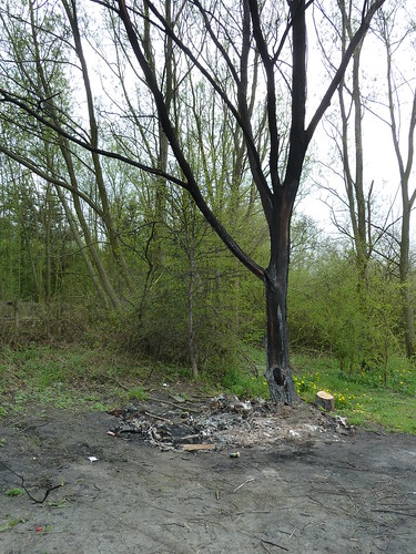
 As I drew nearer civilisation ... things became more uncivilised as is often the case ...

An 8th walk based on Cromford Canal ...

 Poor tree.

I believe that the sort of person who creates this much damage [a person without respect] should be very severely dealt with. If they will do this to a tree what else will they do ?

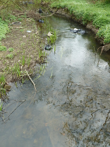
I reached the River Erewash where once again there were signs of disrespect ...

An 8th walk based on Cromford Canal ...

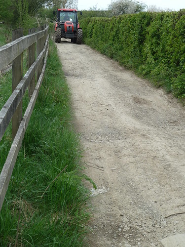
Before long I was walking below the noisy and busy A610 above me to my left. I gave way to an oncoming tractor and got a wave in return ...

An 8th walk based on Cromford Canal ...

There wasn't much leeway.

On reaching the railway line I turned right and followed a fenced path for some distance ...

An 8th walk based on Cromford Canal ...

An 8th walk based on Cromford Canal ...

An 8th walk based on Cromford Canal ...

This brought me to a bird hide overlooking the marshy ground ...

An 8th walk based on Cromford Canal ...  

I could hear plenty of birds ... but I couldn't see any ...

An 8th walk based on Cromford Canal ...

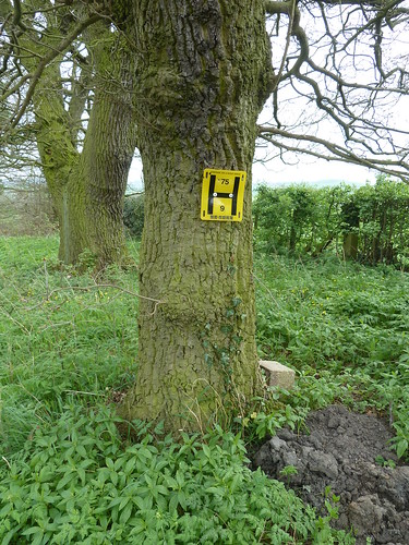
As I drove along Boat Lane to return home, something caught my eye on a tree ...

An 8th walk based on Cromford Canal ...

 On closer inspection I could see it was a  fire hydrant sign ...

An 8th walk based on Cromford Canal ...


Incidentally it seems the figure at the top of the sign is the size of the water main that feeds the hydrant in millimetres ~ in this case 75mm ~ and the lower figure relates to the distance from the sign to the hydrant. 9 metres in this case.

As far as I'm aware Stoneyford Lodge is still closed. The Remains of the Day ? Why Codnor Castle, of course.

This walk was followed on the 15th April 2011
 
Length of walk ~ 4.36 miles *
 
Total mileage walked so far in 2011 ~ 110.18 miles
 
Total mileage between the 1st September 2009 and the 15th April 2011 ~ 638.23 miles

  25 of 2011 [which means in 2011 I was still averaging just under 4.41 miles a walk. This from the man who had once walked 56 miles in less than 24 hours ...]
 
* distance calculated on Ordnance Survey's Getamap