Showing posts with label Lathkill Dale. Show all posts

Thursday, 21 February 2013

Bradford Dale and Lathkill Dale ...

I walked along beside the river from Alport passing Rheinstor Rock ...

Bradford Dale and Lathkill Dale ...

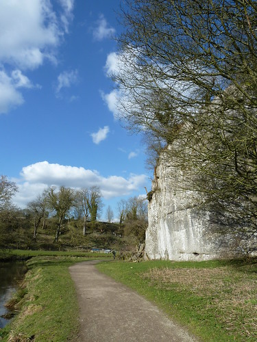
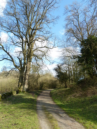
The sun shone on a cool spring day ...
Bradford Dale and Lathkill Dale ...

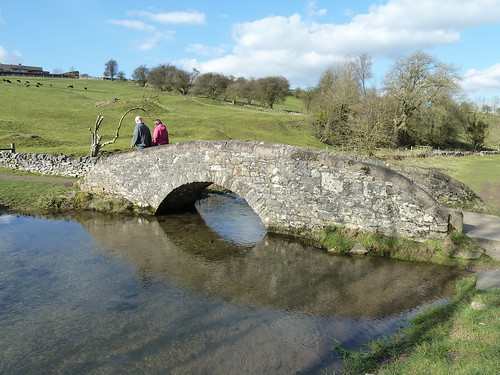
I reached the delightful packhorse bridge as I drew near to Youlgreave ...
Bradford Dale and Lathkill Dale ...

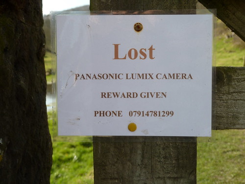
Someone who had passed this way before had lost or mislaid a camera ...
Bradford Dale and Lathkill Dale ...

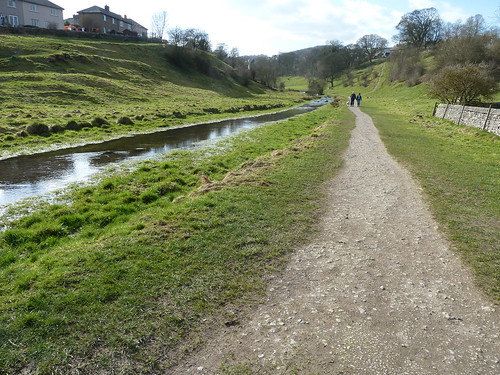
After crossing the road in Bradford [part of Youlgreave] I continue upstream with the river now beside me on the left ...

Bradford Dale and Lathkill Dale ...

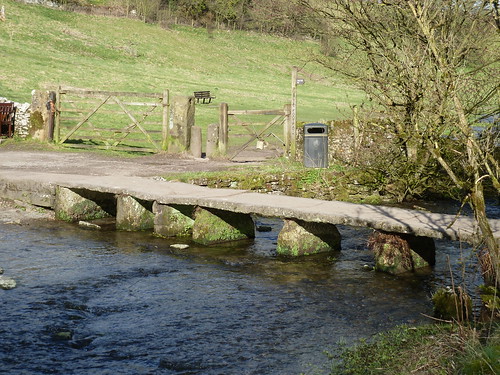
  ... and crossed the old clapper bridge ...
Bradford Dale and Lathkill Dale ...

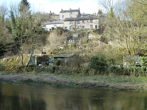
The cottages and gardens of Bankside rise in an unplanned fashion above the river ...
Bradford Dale and Lathkill Dale ...

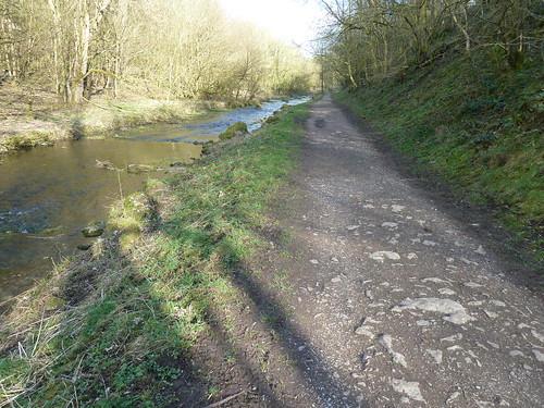
I turned around further along the dale to take in the path behind me, there was no one around ...
Bradford Dale and Lathkill Dale ...

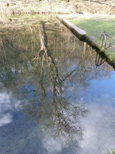
The river can be very still ...

Bradford Dale and Lathkill Dale ...

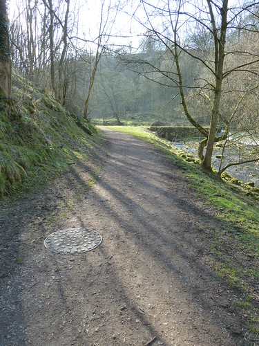
As I walked up the dale I wondered how many other dales have a manhole cover in the path ?
Bradford Dale and Lathkill Dale ...

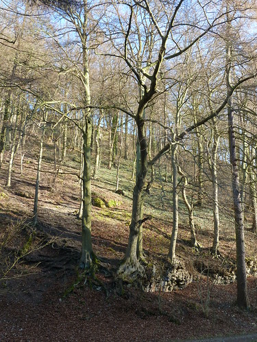
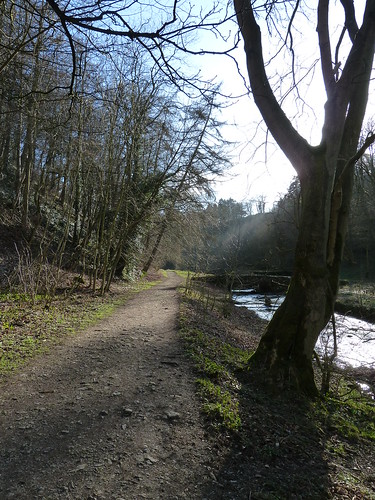
  Looking at these photographs I can almost feel the chill in the air ...
Bradford Dale and Lathkill Dale ...

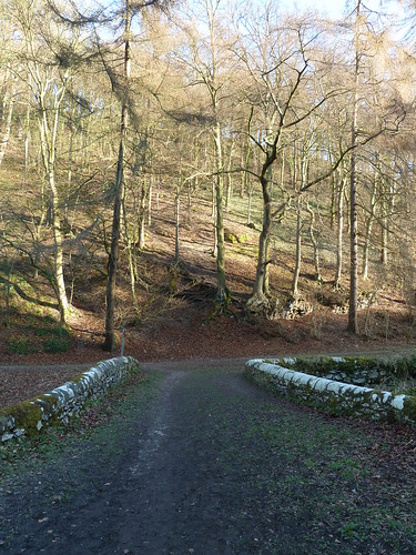
I swung right over the bridge towards the top of the dale ...

Bradford Dale and Lathkill Dale ...

 Bradford Dale and Lathkill Dale ...

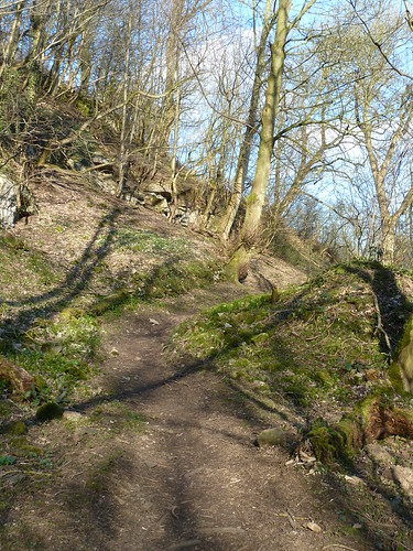
The path on the western side of the dale rises up to the car park in Yougreave ...
Bradford Dale and Lathkill Dale ...

Once I had got to the top of the main road running down through Youlgreave I followed it to reach the old Co-operative store ... now a Youth Hostel ...

Bradford Dale and Lathkill Dale ...

 Bradford Dale and Lathkill Dale ...

The Church of All Saints stands at a staggered crossroads in the village, rising high above the road ...

Bradford Dale and Lathkill Dale ...

  Depending on where you look parts of this church date back to the 12th century ... or is it the 13th or 14th ?

Walking down Coalpit Lane towards the River Lathkill, a couple of nosey so and sos interrupted my reverie ...

Bradford Dale and Lathkill Dale ...

Coalpit Bridge takes a bridleway across the river before climbing steeply up the side of the dale into the fields above ...

Bradford Dale and Lathkill Dale ...

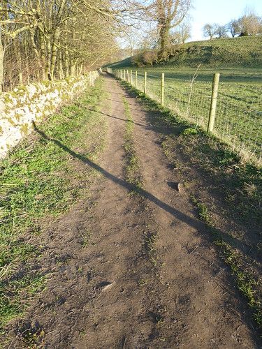
 A heavily used footpath took me back to Alport. There was a time, not so long ago, when this path was unfenced ...
Bradford Dale and Lathkill Dale ...


This walk was followed on the 18th March 2011
 
Length of walk ~ 3.85 miles *
 
Total mileage walked so far in 2011 ~ 66.57 miles
 
Total mileage between the 1st September 2009 and the 18th March 2011 ~ 594.62 miles
 
16 of 2011
 
* distance calculated on Ordnance Survey's Getamap

Monday, 10 September 2012

Beyond hills and by the Blue Waters ...

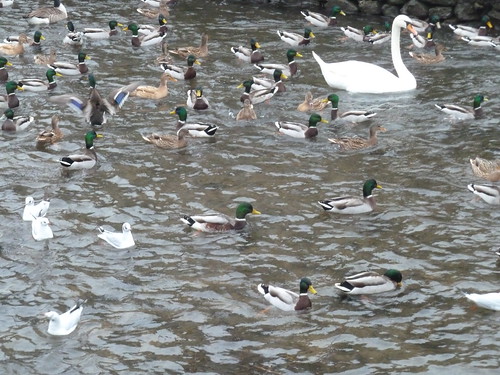
Back in December 2010 they hadn't tried to stop people feeding the wildfowl in Bakewell so there were plenty about ...

Bakewell and Over Haddon ~ 31st December 2010

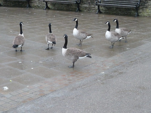
... including some real wild gooses ...

Bakewell and Over Haddon ~ 31st December 2010

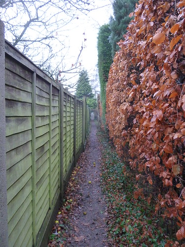
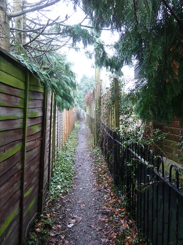
There's a footpath that runs beside the Wye, then across the park and eventually along the back of some houses ...

Bakewell and Over Haddon ~ 31st December 2010

... between hedges and fences ...

Bakewell and Over Haddon ~ 31st December 2010

... to bring you to the A6 on the southern side of Bakewell.

If you take Intake Lane on the opposite side of the main road you can soon leave the hustle and bustle of Bakewell behind you ...

Bakewell and Over Haddon ~ 31st December 2010

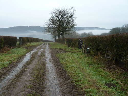
Looking back we could see the mist lying in the valley.

Bakewell and Over Haddon ~ 31st December 2010

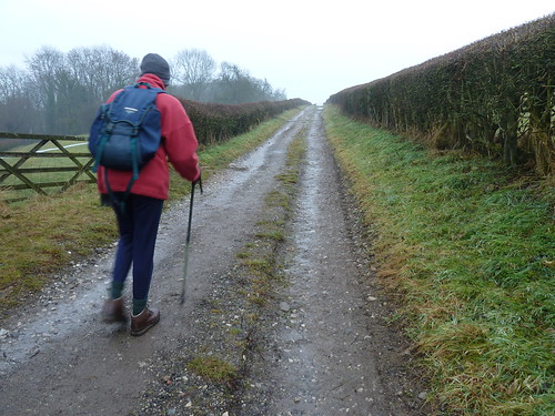
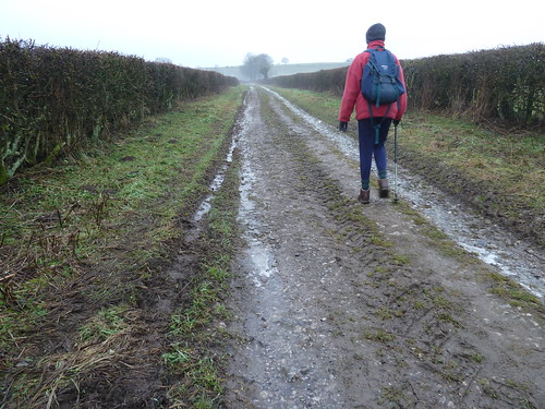
We continued to quietly squelch our way along along the old track ...

Bakewell and Over Haddon ~ 31st December 2010

At the end of the lane we walked south and then across the fields to the small pull-in above Conksbury Bridge. In the trees I found another one of these ... no, it's not a bird box ...

Bakewell and Over Haddon ~ 31st December 2010


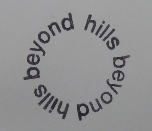
There's more about it here ~ http://www.alecfinlay.com/letterbox.html ~ and this was the circle poem on the rubber stamp inside the box ...


beyond hills ...

I wonder whether this project has fallen by the waywide [no pun intended] as the website seems incomplete. I would be happy to be told otherwise.

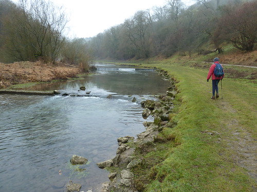
The options then were to either head up the dale or down the dale ... or you can go up the country lane ... 

We chose the north-western path into Lathkill Dale.

Bakewell and Over Haddon ~ 31st December 2010

You can't blame us ...

Bakewell and Over Haddon ~ 31st December 2010

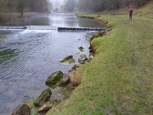
Not quite sure what this couple were doing ...

Bakewell and Over Haddon ~ 31st December 2010

It could have been a couple of Derby County footballers I used to watch. We reckoned that one or two of them could walk on water.

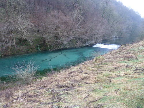
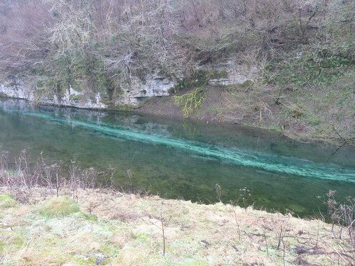
Now the incredible thing about Lathkill Dale, apart from the fact that my family originates from Over Haddon, the village above the dale, is the colour of the water ...

Bakewell and Over Haddon ~ 31st December 2010
  
Well when I say the colour of the water I probably mean the clarity of the water. In the photo above and in the short video below I reckon it's probably five or six feet deep ...


Isn't it weird ?

Bakewell and Over Haddon ~ 31st December 2010

I have learnt today that this section of the Lathkill is known as the Blue Waters and you can see why. I have never seen anything like this anywhere else in the UK.

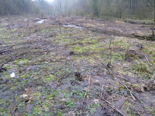
Near Lathkill Lodge [the house in the bottom of the dale below Over Haddon] it looked as though the ground had been laid waste ...

Bakewell and Over Haddon ~ 31st December 2010

This would have been where the river had been flowing until it went underground ~ it tends to come and go ...

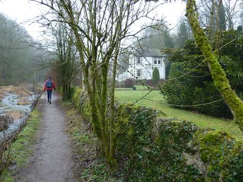
We passed the Lodge ...

Bakewell and Over Haddon ~ 31st December 2010

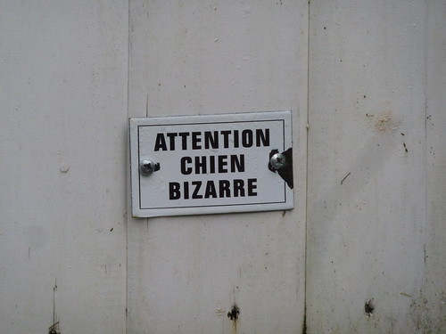
... noting the warning on the back gate ...

Bakewell and Over Haddon ~ 31st December 2010

We climbed up the zigzag lane out of the dale into Over Haddon. To the north of the village we could see Bakewell church spire and the mist beyond ...

Bakewell and Over Haddon ~ 31st December 2010

We even found some snow !

Bakewell and Over Haddon ~ 31st December 2010

We reached Bakewell and wound our way towards the cemetery and started to lose height ...

Bakewell and Over Haddon ~ 31st December 2010

Part way down this lane [Butts Road ?] a path cuts to the left and you're into a quiet little area in the middle of the town ...

Bakewell and Over Haddon ~ 31st December 2010

... and a hundred yards later walking directly towards the church.

Bakewell and Over Haddon ~ 31st December 2010

This walk had one more point of interest ~ an 18th century rainwater hopper complete with a date of 1743 and with a swift to boot. Delightful ...

Bakewell and Over Haddon ~ 31st December 2010

The walk featured above was followed on the 31st December 2010

Length of walk ~ 5.7 miles *

Total mileage walked so far in 2010 ~ 395.3 miles

Total mileage between the 1st September 2009 and the 30th December 2010 ~ 529.05 miles

83 of 2010


* distance calculated by OS Getamap.


So 2010 ended [before dark] with me having walked just under 400 miles at an average of just over 4.75 miles a walk. Hardly what I used to do ...

What will 2011 bring ?