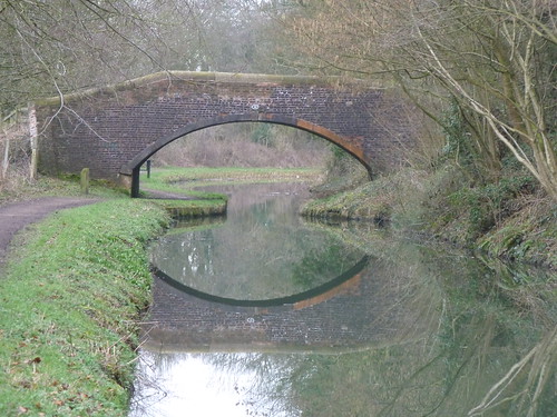
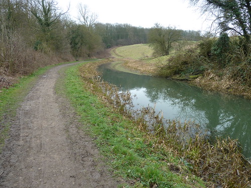
Just over four weeks after my last walk on Chesterfield Canal I was back there again ... and there had been no other walks in between.
I parked at Shireoaks Marina and followed Thorpe Lane to the south-west to come to Netherthorpe ...
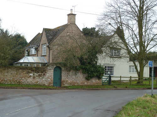
It wasn't a very bright day.
My route involved following a number of lanes. My idea was to get onto the Chesterfield Canal as soon as I could whilst at the same time getting some exercise. This is why I was on Back Lane between Netherthorpe and Thorpe Salvin, with no verge, as cars [from time to time] hurtled past. I stood in every time ...
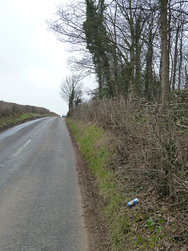
I got into Thorpe Salvin in one piece ...
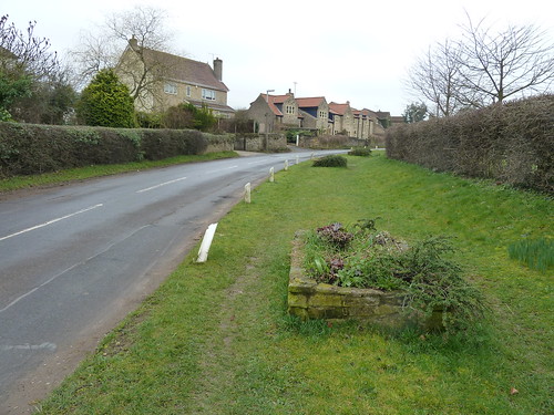
I enjoyed looking around the church in Thorpe Salvin and there will be a separate blog about what I saw there ...

Ladyfield Road runs down the side of the churchyard ...

... and as I looked at the map I realised that Lady Field, is an enormous field compared to the usual sized fields in this part of the world. But what is its significance ?
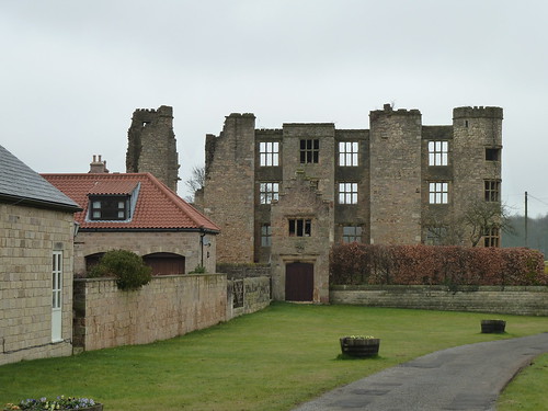
Before I walked beside Lady Field though I was surprised to see the ruins of mid to late 16th century Thorpe Salvin Hall ...
I continued along Lady Field Road [that's Lady Field itself over the hedge on the left] ...

I reached Packman Lane which I had last walked a few weeks earlier. Packman Lane which I now learn may have been a Roman road. I turned right to reach the Chesterfield Canal at Kiveton Park railway station ...
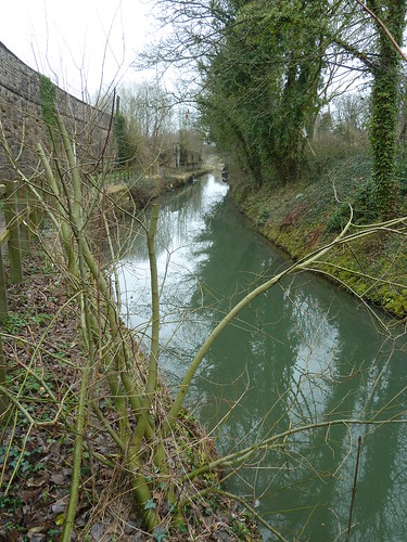
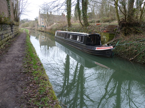
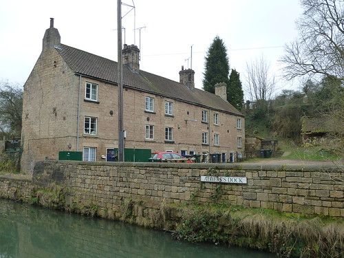
At Albert's Dock a narrowboat was moored against the far bank ...
According to a nearby information panel after the "old Houses of Parliament" were burnt down in October 1834 stone from a quarry at nearby North Anston was earmarked to rebuild the Houses of Parliament. The stone had been chosen "after a nationwide survey. Each block of stone was carried from the quarry on a low wooden platform which had a number of small but strong wheels. Each platform was pulled by several horses. On arrival the blocks were shaped so stowage would be compact in the narrowboats and sloops which would take them to Westminster."
Albert's Dock is much quieter now ...
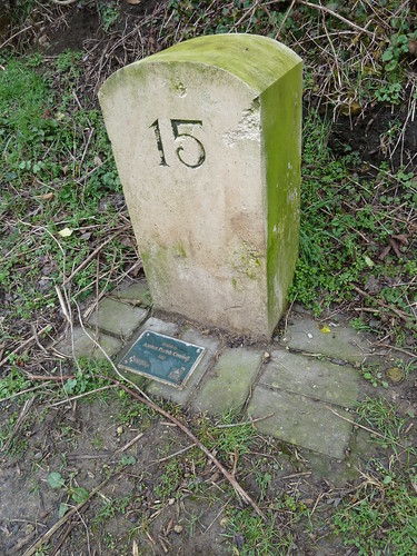
I passed a post marking 15 miles from Chesterfield. I'd obviously missed one or two.
The canal was so quiet ...
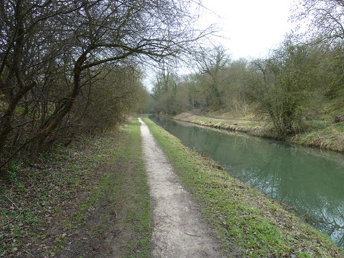
I strolled along, not a care in the world.
A stone post stands beside the canal with 'CCC' on one side ...
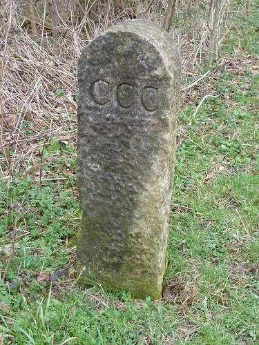
... and 'DL' on the other ...
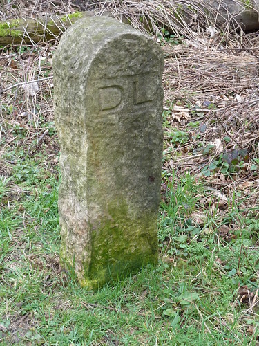
The names of respective landowners ?
More of the red brick bridges ...
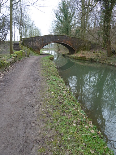
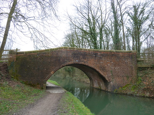
and an overspill ...
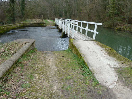
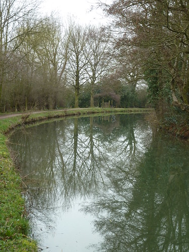
The water in the canal provided some perfect reflections ...
... and on reflection this place needs tidying up !
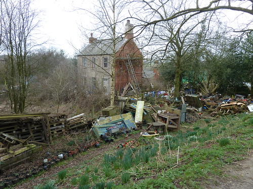
Interesting looking house though.
Milepost 17 [but how had I missed number 16 ?] ...

I reached Brickyard Double Lock.
Turnerwood is an attractive small group of houses ...

You can get a nice cup of tea or an ice cream at the house on the left in the photo above assuming their little cabin is open. It's a lovely ice cream too, made locally.
The towpath runs right in front of the terrace of properties ...
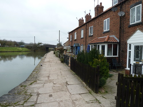
I was getting nearer Shireoaks now ...
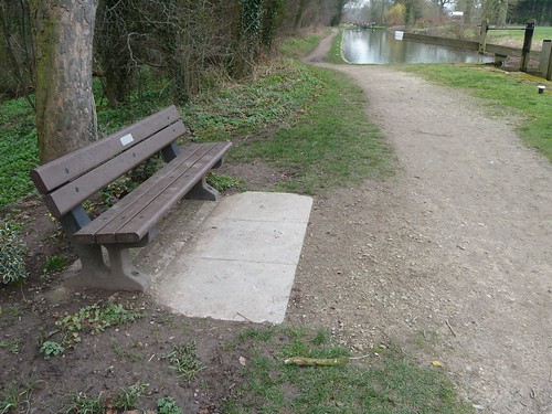

On the edge of Shireoaks amongst the mallards was a Mandarin Duck ...

Finally I was back at Shireoaks Marina ...

This walk was followed on the 4th March 2011
Length of walk ~ 7.48 miles *
Total mileage walked so far in 2011 ~ 46.97 miles
Total mileage between the 1st September 2009 and the 4th March 2011 ~ 575.02 miles
12 of 2011
* distance calculated on Ordnance Survey's Getamap
Length of walk ~ 7.48 miles *
Total mileage walked so far in 2011 ~ 46.97 miles
Total mileage between the 1st September 2009 and the 4th March 2011 ~ 575.02 miles
12 of 2011
* distance calculated on Ordnance Survey's Getamap

