Showing posts with label Darley Bridge. Show all posts

Tuesday, 9 April 2013

In the evening of the day ...

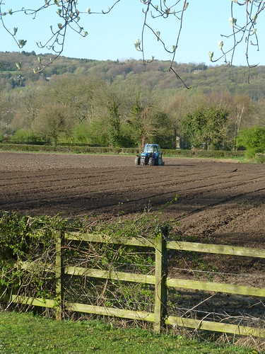
As we parked at the picnic site at Darley Bridge in the evening of the day, with blossom on the trees, a farmer worked in the field next to the car park ... 

Darley Bridge and Wensley & Snitterton ...

Darley Bridge and Wensley & Snitterton ...

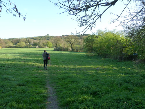
 From the bridge at Darley Bridge a footpath runs directly towards Oaker Hill ...
Darley Bridge and Wensley & Snitterton ...  

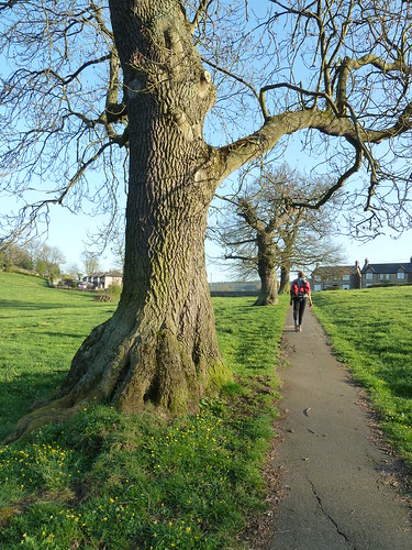
We followed the lanes through South Darley to walk up from the school towards the houses of St. Mary's View ...
Darley Bridge and Wensley & Snitterton ...

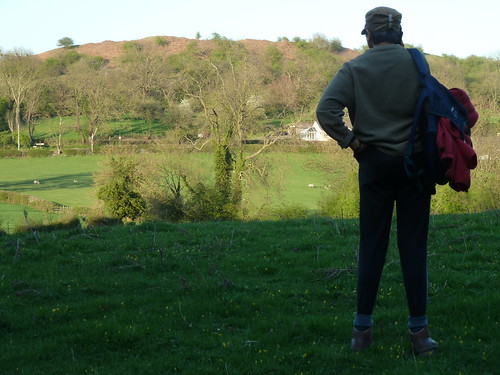
 Beyond the houses we turned around to see Oaker Hill from the other side.
Darley Bridge and Wensley & Snitterton ... 

I write Oaker Hill ~ it is shown as Oker on the OS Map as is the village of Oker itself. I've always spelt it Oaker so I'm sticking to that.

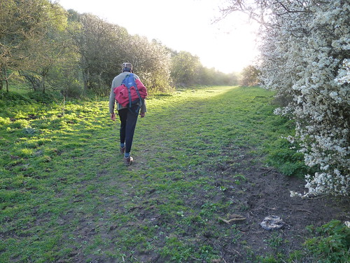
We walked towards Wensley Dale with the sun slanting towards us and with the blackthorn in flower. This was early April ... and the blackthorn was in flower. This is not the case this year.
Darley Bridge and Wensley & Snitterton ...  

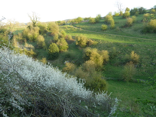
Wensley Dale [there's another one in Yorkshire apparently] looked delightful ...
Darley Bridge and Wensley & Snitterton ...  

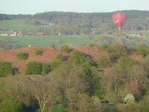
We had turned back on ourselves by now and we could see a hot air balloon flying over Oker Oaker Hill with its trig point ...
Darley Bridge and Wensley & Snitterton ...  

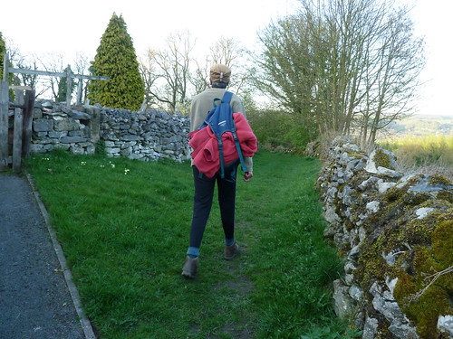
Crossing the road in Wensley the path runs between gardens for a short way ...
Darley Bridge and Wensley & Snitterton ...  

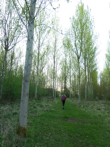
The poplar trees planted by Enthovens were just coming into leaf, a lovely, lively green ...
Darley Bridge and Wensley & Snitterton ...

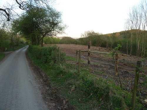
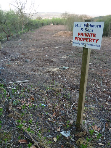
 We followed Oldfield Lane until just before Cowley Knoll we saw that Enthovens had cleared some of the scrub on the south side of the lane ...
Darley Bridge and Wensley & Snitterton ...

 ... and they didn't want anyone going on the land ...
Darley Bridge and Wensley & Snitterton ...

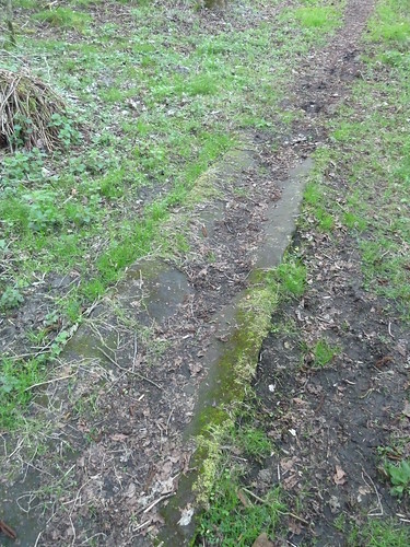
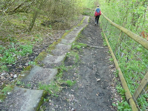
 We turned northward now towards Warren Carr following the old miners' path ...
Darley Bridge and Wensley & Snitterton ...

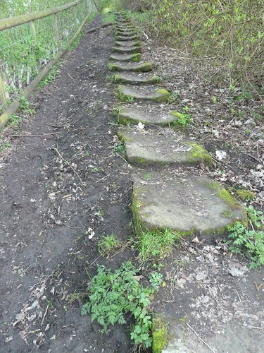
 The steps were slippery so we walked beside them ...
Darley Bridge and Wensley & Snitterton ...

 Judging by the amount of wear and tear the steps have been well used ... more so in the past than now probably.
Darley Bridge and Wensley & Snitterton ...

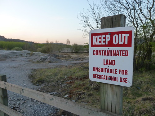
 From Warren Carr we followed the lane back towards Darley Bridge passing the Enthoven works on our right. On our left we noticed this sign ...
Darley Bridge and Wensley & Snitterton ...

 We don't think this stopped some of the local kids using those bumps on their mountain bikes ...

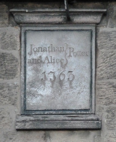
As we walked through Darley Bridge I glanced at this date stone on one of the cottages [as I always do] ....
Darley Bridge and Wensley & Snitterton ...

 The walk was over but let me finish with this photo taken earlier in the day when I went to Peak Village with my daughter and grandson. It shows a pair of Mandarin Ducks that were wandering around the car park with a large flock of mallards ...
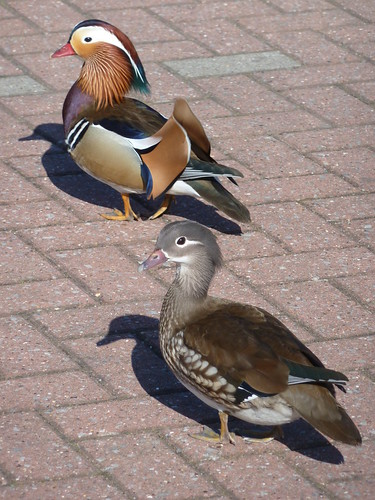
A pair of Mandarin Ducks ...

 This walk was followed on the 8th April 2011
 
Length of walk ~ 3.94 miles *
 
Total mileage walked so far in 2011 ~ 101.43 miles
 
Total mileage between the 1st September 2009 and the 8th April 2011 ~ 629.48 miles

  23 of 2011 [which means in 2011 I was averaging just 4.41 miles a walk.]
 
* distance calculated on Ordnance Survey's Getamap

Wednesday, 22 August 2012

Clough Wood and Greatclose ...

Clough Wood is less than a couple of miles from here but by car and indeed on foot it's half as far again as you have to cross the bridge at Darley Bridge to get there.

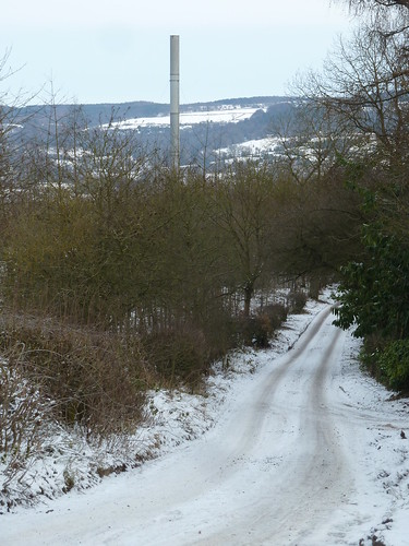
After crossing the bridge you follow Oldfield Lane to get into the wood ...

Clough Wood and Greatclose ~ 26th December 2010

The enormous chimney which rather spoils the view is part of the Enthovens' complex.

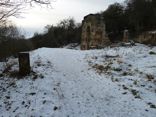
Leaving the old lane a short stretch of path brings you to the remains of Millclose Mine ... 

Clough Wood and Greatclose ~ 26th December 2010  

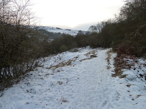
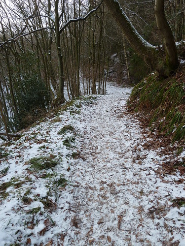
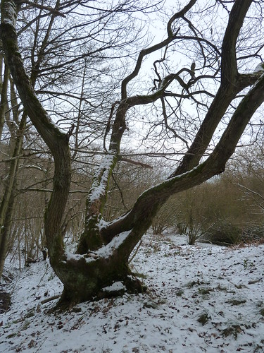
Beyond the old leadmine the path leads into Clough Wood itself ...

Clough Wood and Greatclose ~ 26th December 2010  

There was no one about ...


Clough Wood and Greatclose ~ 26th December 2010


Clough Wood and Greatclose ~ 26th December 2010

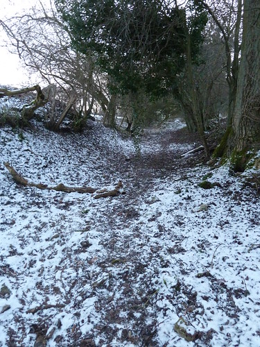
 The path I was following was heading west towards Winster but then it split and I took the line that turned sharply back into the wood and which, initially, headed east. It then slowly swung round to head for Winster ...

Clough Wood and Greatclose ~ 26th December 2010


   In these fields was a farmhouse known as Greatclose. I remember not so many years ago walking through its ruins but in recent times all the stone was taken away until now all that remains is what may have been an orchard ...

Clough Wood and Greatclose ~ 26th December 2010


Living at Great Close Farm as it was called in 1901 were George Swindell aged 41 ~ a farmer and lead miner ~ and his wife, Elizabeth, aged 45. Also living there [according to the 1901 census] were George and Robert, their sons, aged 13 and 12 respectively, and their three daughters,  Martha, Mary and Kate. They were aged 8, 6 and 2 respectively. 

They were still there in 1911 according to the census taken that year.

Now there is no sign of what had been their home. 

The path leads into Winster ...

Clough Wood and Greatclose ~ 26th December 2010

No sooner had I reached the road than I turned left along it for 300 yards and took another path heading back into Clough Wood again.

Clough Wood and Greatclose ~ 26th December 2010

This takes you over an unnamed stream. At least it's unnamed on my OS Map.

Clough Wood and Greatclose ~ 26th December 2010

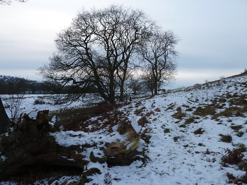
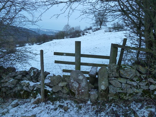
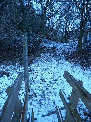
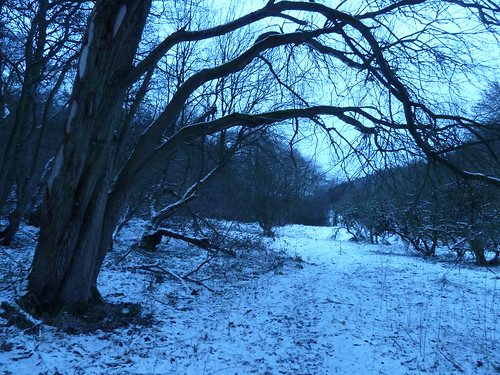
By now the afternoon light was beginning to fail and my camera gave the last few photos a blue hue ...

Clough Wood and Greatclose ~ 26th December 2010
  
 The walk featured above was followed on the 26th December 2010

Length of walk ~ 4 miles

Total mileage walked so far in 2010 ~ 380 miles

Total mileage between the 1st September 2009 and the 26th December 2010 ~ 513.75 miles

79 of 2010