
Between Tansley and Dethick a small wood lies along the southern side of Cunnery Lane. It doesn't seem to be named on the OS Map though it is referred to as Cunnery Corner Wood on the Ordnance Survey website.
I've always known it as Cunnery Wood.
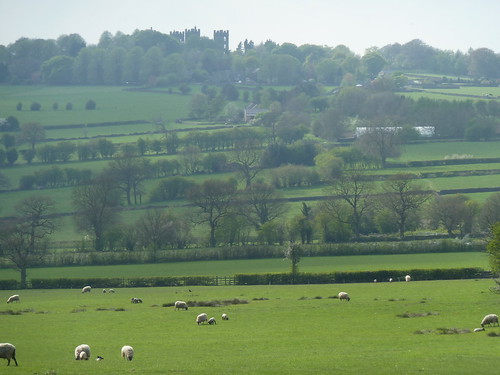
From the wood there's a view across the fields towards Riber Castle ...
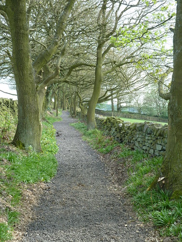
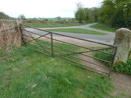
A bridleway [Wood Lane] runs from the western tip of the wood towards Mill Lane ...
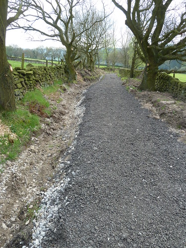
It had been resurfaced when we were there ...

The overhanging branches had been cut back ...

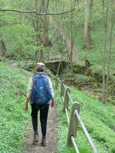
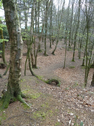
We followed the lane [and others] into Lea and then took the footpath down into Swinepark Wood ...
This brought us to the little church at Dethick ...
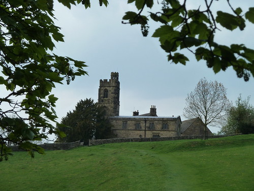
The Church of St. John the Baptist dates back to the 13th century ...

Walk up Dethick Lane until you reach Shaw Lane coming in from Lea to the left and in the grass you'll find a gibbet stone ...

This was originally a crossroads and presumably the post that the gibbet hung from was placed in the stone and the remains of the poor unfortunate was left to rot in the gibbet itself ... to be pecked at by birds and eaten by insects ...
The gibbet stone is amongst the daffodils in the photo below ...
From the gibbet stone we took the old track known as Green Lane towards Cunnery Wood ...

We walked through Cunnery Wood back to the car ...
This walk was followed on the 17th April 2011
Length of walk ~ 3.13 miles *
Total mileage walked so far in 2011 ~ 113.31 miles
Total mileage between the 1st September 2009 and the 17th April 2011 ~ 641.36 miles
26 of 2011 [which means in 2011 I was averaging just under 4.36 miles a walk.]
* distance calculated on Ordnance Survey's Getamap
Another enjoyable walk Charlie,there seems to be a lot of history attached to the church with the Babington family.It is a strange looking building,as for the gibbet stone another part of our gruesome history.Ann
ReplyDeleteThat's what I love about walking in our part of the world Ann ... you never know what you're going to find.
DeleteThat last photograph is rather stunning, Charlie. Always lots of good images.
ReplyDeleteThank you Pet ~ that's much appreciated.
DeleteOne of my favourite walks, Charlie. The gobbet stone was recently stolen briefly before being found nearby. It is not secured in place with a steel cross.
ReplyDeleteYes, I heard the news about the gibbet stone ... and have seen it since it has been fixed back in place. It's rather sad that there are such philistines about ~ no respect for history and heritage.
Delete"now" secured
ReplyDeleteVery nice walk, I really like the first picture it's so green and those little lambs with their moms, so peaceful.
ReplyDeleteThank you Diane ~ yes, I like the top photo. I wish I could have compressed it a little more.
Delete